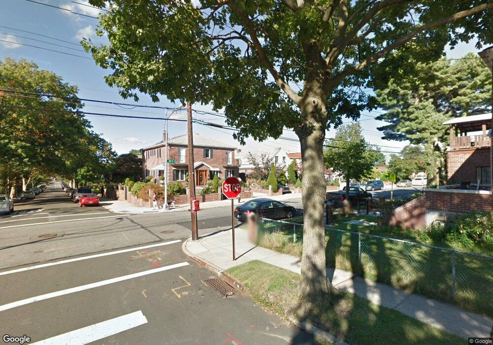
19307 45th Ave Flushing, NY 11358
Auburndale NeighborhoodEstimated Value: $1,651,020 - $2,176,000
Studio
--
Bath
2,998
Sq Ft
$624/Sq Ft
Est. Value
About This Home
This home is located at 19307 45th Ave, Flushing, NY 11358 and is currently estimated at $1,871,505, approximately $624 per square foot. 19307 45th Ave is a home located in Queens County with nearby schools including P.S. 162 The John Golden School, M.S. 158 - Marie Curie, and Francis Lewis High School.
Ownership History
Date
Name
Owned For
Owner Type
Purchase Details
Closed on
Jan 21, 2000
Sold by
Henderson John E and Henderson Anna D
Bought by
Kokkinos Dimitrios S and Kokkinos Angela S
Current Estimated Value
Home Financials for this Owner
Home Financials are based on the most recent Mortgage that was taken out on this home.
Original Mortgage
$200,000
Interest Rate
8.11%
Create a Home Valuation Report for This Property
The Home Valuation Report is an in-depth analysis detailing your home's value as well as a comparison with similar homes in the area
Home Values in the Area
Average Home Value in this Area
Purchase History
| Date | Buyer | Sale Price | Title Company |
|---|---|---|---|
| Kokkinos Dimitrios S | $350,000 | First American Title Ins Co |
Source: Public Records
Mortgage History
| Date | Status | Borrower | Loan Amount |
|---|---|---|---|
| Closed | Kokkinos Dimitrios S | $200,000 |
Source: Public Records
Tax History
| Year | Tax Paid | Tax Assessment Tax Assessment Total Assessment is a certain percentage of the fair market value that is determined by local assessors to be the total taxable value of land and additions on the property. | Land | Improvement |
|---|---|---|---|---|
| 2025 | $14,800 | $79,590 | $29,729 | $49,861 |
| 2024 | $14,812 | $75,085 | $32,029 | $43,056 |
| 2018 | $8,494 | $43,130 | $15,100 | $28,030 |
| 2017 | $8,120 | $41,304 | $14,583 | $26,721 |
| 2016 | $7,779 | $41,304 | $14,583 | $26,721 |
| 2015 | $4,480 | $40,382 | $21,587 | $18,795 |
| 2014 | $4,480 | $38,097 | $21,480 | $16,617 |
Source: Public Records
Map
Nearby Homes
- 43-44 195th St
- 45-47 193rd St
- 4539 192nd St
- 45-31 195th St
- 4552 196th St
- 4604 195th St
- 45-66 196th Place
- 196-64 45th Ave
- 4048 194th St Unit A3
- 42-25 189th St
- 188-02 Northern Blvd
- 45-32 Utopia Pkwy
- 40-38 194th St Unit 1A
- 4038 194th St Unit 3B
- 42-28 189th St
- 4032 195th St
- 190-17 42nd Ave
- 42-36 201st St
- 47-55 194th St
- 200-38 45th Ave
- 19311 45th Ave
- 19303 45th Ave
- 193-03 45th Ave
- 4357 193rd St
- 4358 194th St
- 19317 45th Ave
- 43-58 194th St Unit 2Fl
- 4358 194th St Unit 2Fl
- 4353 193rd St
- 4356 194th St
- 4352 194th St
- 193-04 45th Ave Unit 2fl
- 193-04 45th Ave Unit 1+2FL
- 193-04 45th Ave
- 4349 193rd St
- 19308 45th Ave
- 193-08 45th Ave
- 19316 45th Ave
- 4350 194th St
- 19310 45th Ave
Your Personal Tour Guide
Ask me questions while you tour the home.