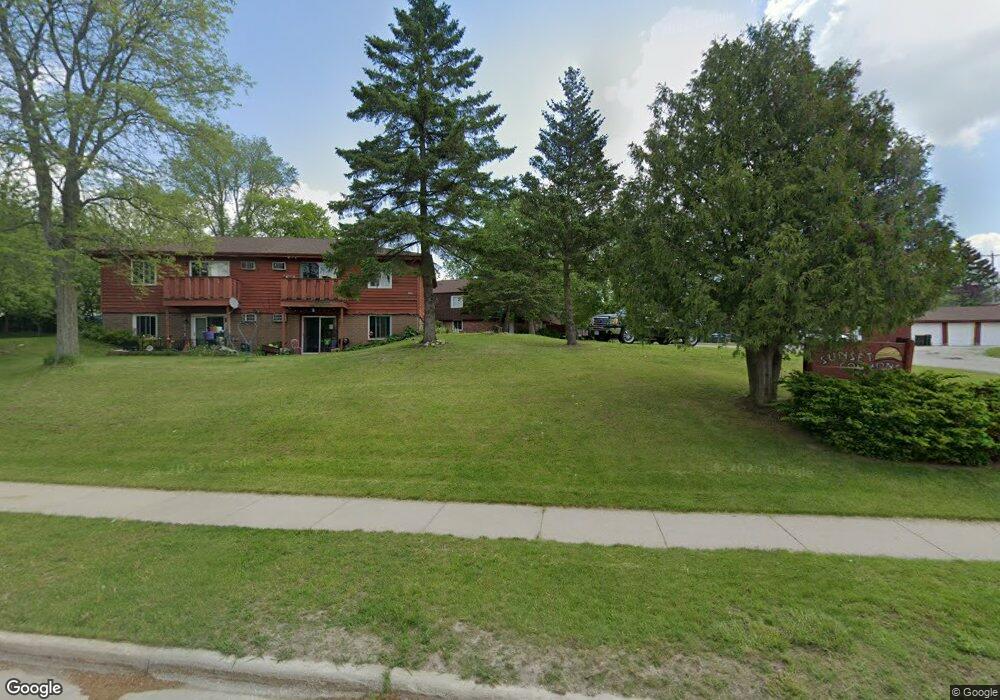
1931 Green Tree Rd Unit 1O4 West Bend, WI 53090
Estimated Value: $174,000 - $204,000
3
Beds
1
Bath
1,344
Sq Ft
$141/Sq Ft
Est. Value
About This Home
This home is located at 1931 Green Tree Rd Unit 1O4, West Bend, WI 53090 and is currently estimated at $188,929, approximately $140 per square foot. 1931 Green Tree Rd Unit 1O4 is a home located in Washington County with nearby schools including Green Tree Elementary School, Silverbrook Intermediate School, and East High School.
Ownership History
Date
Name
Owned For
Owner Type
Purchase Details
Closed on
Apr 29, 2022
Sold by
Klingbeil Dale D
Bought by
Greentree Rentals Llc
Current Estimated Value
Purchase Details
Closed on
Apr 21, 2006
Sold by
Wendtland Dennis and Wendtland Marie
Bought by
Klingbeil Dale D
Home Financials for this Owner
Home Financials are based on the most recent Mortgage that was taken out on this home.
Original Mortgage
$104,000
Interest Rate
5.87%
Mortgage Type
Assumption
Create a Home Valuation Report for This Property
The Home Valuation Report is an in-depth analysis detailing your home's value as well as a comparison with similar homes in the area
Home Values in the Area
Average Home Value in this Area
Purchase History
| Date | Buyer | Sale Price | Title Company |
|---|---|---|---|
| Greentree Rentals Llc | $125,000 | -- | |
| Klingbeil Dale D | $109,500 | Abstract & Title Company |
Source: Public Records
Mortgage History
| Date | Status | Borrower | Loan Amount |
|---|---|---|---|
| Previous Owner | Klingbeil Dale D | $104,000 |
Source: Public Records
Tax History Compared to Growth
Tax History
| Year | Tax Paid | Tax Assessment Tax Assessment Total Assessment is a certain percentage of the fair market value that is determined by local assessors to be the total taxable value of land and additions on the property. | Land | Improvement |
|---|---|---|---|---|
| 2024 | $1,765 | $133,600 | $15,000 | $118,600 |
| 2023 | $1,695 | $85,100 | $6,500 | $78,600 |
| 2022 | $1,634 | $85,100 | $6,500 | $78,600 |
| 2021 | $1,565 | $85,100 | $6,500 | $78,600 |
| 2020 | $1,516 | $85,100 | $6,500 | $78,600 |
| 2019 | $1,474 | $85,100 | $6,500 | $78,600 |
| 2018 | $1,567 | $93,300 | $6,500 | $86,800 |
| 2017 | $1,404 | $75,900 | $6,500 | $69,400 |
| 2016 | $1,416 | $75,900 | $6,500 | $69,400 |
| 2015 | $1,550 | $75,900 | $6,500 | $69,400 |
| 2014 | $1,550 | $75,900 | $6,500 | $69,400 |
| 2013 | $1,678 | $75,900 | $6,500 | $69,400 |
Source: Public Records
Map
Nearby Homes
- 1900 Camden Ln
- 1600 Patricia Dr
- 1420 W Sunset Ridge Dr
- 1817 N Main St
- Lt1 Dandelion Ln
- 1669 N Main St
- 615 Roosevelt Dr
- 7107 River Dr N
- Lt3 Woodford Dr
- Lt2 Woodford Dr
- 2050 Stratford Rd
- 1509 Monroe St
- Lt1 Sleepy Hollow Rd
- 1521 Quietwood Ln
- 1348 Fond du Lac St
- 1153 N 11th Ave
- 2149 Briar Dr
- 2214 Willowbrook Dr
- 7297 Salisbury Rd
- 811 Meadowbrook Dr
- 1921 Green Tree Rd
- 1921 Green Tree Rd
- 1921 Green Tree Rd
- 1921 Green Tree Rd
- 1931 Green Tree Rd
- 1931 Green Tree Rd
- 1931 Green Tree Rd
- 1927 Green Tree Rd
- 1927 Green Tree Rd Unit 103
- 1927 Green Tree Rd
- 1927 Green Tree Rd
- 1917 Green Tree Rd
- 1917 Green Tree Rd
- 1917 Green Tree Rd
- 1921 Green Tree Rd
- 1931 Green Tree Rd
- 1927 Green Tree Rd
- 1917 Green Tree Rd
- 1927 Green Tree Rd Unit 102
- 1937 Green Tree Rd Unit 102