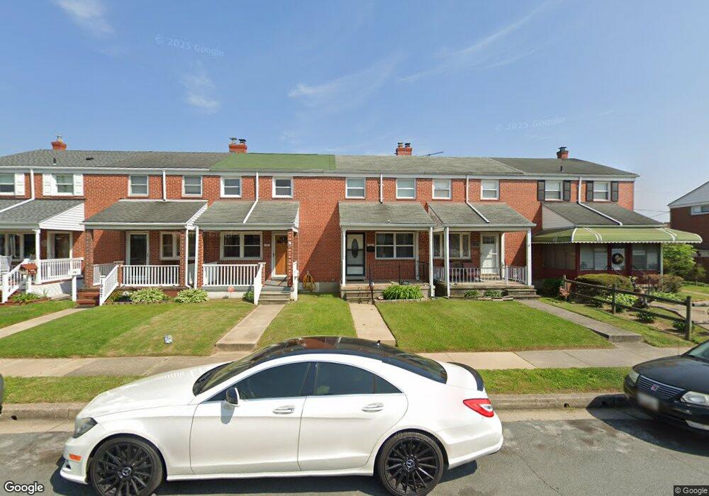
1931 Wareham Rd Dundalk, MD 21222
Estimated Value: $157,934 - $206,000
Studio
1
Bath
896
Sq Ft
$208/Sq Ft
Est. Value
About This Home
This home is located at 1931 Wareham Rd, Dundalk, MD 21222 and is currently estimated at $186,645, approximately $208 per square foot. 1931 Wareham Rd is a home located in Baltimore County with nearby schools including Grange Elementary School, General John Stricker Middle School, and Patapsco High & Center for Arts.
Ownership History
Date
Name
Owned For
Owner Type
Purchase Details
Closed on
Apr 2, 2024
Sold by
Shkor John William
Bought by
Stanbrook Holdings Llc
Current Estimated Value
Purchase Details
Closed on
Nov 1, 2021
Sold by
Tucker Charles A and Estate Of Elvira Conti Tucker
Bought by
Shkor John
Create a Home Valuation Report for This Property
The Home Valuation Report is an in-depth analysis detailing your home's value as well as a comparison with similar homes in the area
Home Values in the Area
Average Home Value in this Area
Purchase History
| Date | Buyer | Sale Price | Title Company |
|---|---|---|---|
| Stanbrook Holdings Llc | -- | None Listed On Document | |
| Shkor John | $130,000 | Goldstar Title Company |
Source: Public Records
Tax History
| Year | Tax Paid | Tax Assessment Tax Assessment Total Assessment is a certain percentage of the fair market value that is determined by local assessors to be the total taxable value of land and additions on the property. | Land | Improvement |
|---|---|---|---|---|
| 2025 | $2,396 | $129,533 | -- | -- |
| 2024 | $2,396 | $119,867 | $0 | $0 |
| 2023 | $1,824 | $110,200 | $36,000 | $74,200 |
| 2022 | $1,744 | $108,167 | $0 | $0 |
| 2021 | $1,610 | $106,133 | $0 | $0 |
| 2020 | $1,262 | $104,100 | $36,000 | $68,100 |
| 2019 | $1,252 | $103,333 | $0 | $0 |
| 2018 | $1,590 | $102,567 | $0 | $0 |
| 2017 | $1,518 | $101,800 | $0 | $0 |
| 2016 | $1,407 | $101,800 | $0 | $0 |
| 2015 | $1,407 | $101,800 | $0 | $0 |
| 2014 | $1,407 | $117,200 | $0 | $0 |
Source: Public Records
Map
Nearby Homes
- 1935 Stanhope Rd
- 1930 Stanhope Rd
- 1954 Stanhope Rd
- 1911 Sunberry Rd
- 2012 Wareham Rd
- 2782 Moorgate Rd
- 2811 Moorgate Rd
- 7252 Meadow Ln
- 1940H Robinwood Rd
- 7111 Sollers Point Rd
- 7807 Rockbourne Rd
- 7832 Rockbourne Rd
- 2924 Sollers Point Rd
- 2953 Yorkway
- 7512 School Ave
- 9 Vista Mobile Dr
- 7849 Harold Rd
- 7449 Lawrence Rd Unit D
- 100 Shipway
- 7515 Holabird Ave
- 1929 Wareham Rd
- 1933 Wareham Rd
- 1927 Wareham Rd
- 1935 Wareham Rd
- 1925 Wareham Rd
- 1937 Wareham Rd
- 1923 Wareham Rd
- 1939 Wareham Rd
- 1921 Wareham Rd
- 1930 Ormand Rd
- 1928 Ormand Rd
- 1932 Ormand Rd
- 1941 Wareham Rd
- 1926 Ormand Rd
- 1934 Ormand Rd
- 1919 Wareham Rd
- 1924 Ormand Rd
- 1943 Wareham Rd
- 1936 Ormand Rd
- 1917 Wareham Rd
Your Personal Tour Guide
Ask me questions while you tour the home.