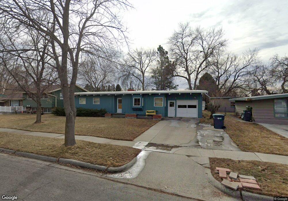
1932 Beverly Hill Blvd Billings, MT 59102
North Central Billings NeighborhoodEstimated Value: $324,000 - $381,000
5
Beds
3
Baths
2,496
Sq Ft
$142/Sq Ft
Est. Value
About This Home
This home is located at 1932 Beverly Hill Blvd, Billings, MT 59102 and is currently estimated at $353,898, approximately $141 per square foot. 1932 Beverly Hill Blvd is a home located in Yellowstone County with nearby schools including Rose Park School, Lewis & Clark Junior High School, and Billings Senior High School.
Ownership History
Date
Name
Owned For
Owner Type
Purchase Details
Closed on
Oct 30, 2017
Sold by
Hafer A Rex A and Hafer Ann N
Bought by
Johnston Ginger Ann
Current Estimated Value
Home Financials for this Owner
Home Financials are based on the most recent Mortgage that was taken out on this home.
Original Mortgage
$172,000
Outstanding Balance
$144,356
Interest Rate
3.91%
Mortgage Type
New Conventional
Estimated Equity
$209,542
Create a Home Valuation Report for This Property
The Home Valuation Report is an in-depth analysis detailing your home's value as well as a comparison with similar homes in the area
Home Values in the Area
Average Home Value in this Area
Purchase History
| Date | Buyer | Sale Price | Title Company |
|---|---|---|---|
| Johnston Ginger Ann | -- | First Montana Title |
Source: Public Records
Mortgage History
| Date | Status | Borrower | Loan Amount |
|---|---|---|---|
| Open | Johnston Ginger Ann | $172,000 |
Source: Public Records
Tax History Compared to Growth
Tax History
| Year | Tax Paid | Tax Assessment Tax Assessment Total Assessment is a certain percentage of the fair market value that is determined by local assessors to be the total taxable value of land and additions on the property. | Land | Improvement |
|---|---|---|---|---|
| 2025 | $2,549 | $322,200 | $54,363 | $267,837 |
| 2024 | $2,549 | $261,600 | $51,699 | $209,901 |
| 2023 | $2,556 | $261,600 | $51,699 | $209,901 |
| 2022 | $2,489 | $225,000 | $49,083 | $175,917 |
| 2021 | $2,370 | $225,000 | $0 | $0 |
| 2020 | $2,355 | $214,300 | $0 | $0 |
| 2019 | $2,247 | $214,300 | $0 | $0 |
| 2018 | $2,171 | $203,100 | $0 | $0 |
| 2017 | $2,012 | $190,800 | $0 | $0 |
| 2016 | $1,835 | $175,200 | $0 | $0 |
| 2015 | $1,794 | $175,200 | $0 | $0 |
| 2014 | $1,763 | $91,902 | $0 | $0 |
Source: Public Records
Map
Nearby Homes
- 1944 Colton Blvd
- 2124 Dahlia Ln
- 2035 Avenue D
- 1833 Iris Ln
- 1734 Mariposa Ln
- 1607 21st St W
- 2414 Ivy Ln
- 2020 Plaza Dr
- 2510 Terrace Dr
- 2230 Avenue C
- 2260 Avenue C
- 9 Stanford Ct
- 2219 Avenue B
- 2718 Terrace Dr
- 46 Shadow Place Unit 6B
- 2618 Sunnyview Ln
- 2030 Rimrock Rd
- 1505 Avenue F
- 1834 Belvedere Dr
- 2204 Alderson Ave Unit C
- 1926 Beverly Hill Blvd
- 1938 Beverly Hill Blvd
- 1937 Parkhill Dr
- 1920 Beverly Hill Blvd
- 1931 Parkhill Dr
- 1944 Beverly Hill Blvd
- 1945 Parkhill Dr
- 1933 Beverly Hill Blvd
- 1927 Beverly Hill Blvd
- 1939 Beverly Hill Blvd
- 1921 Parkhill Dr
- 1943 Beverly Hill Blvd
- 1916 Beverly Hill Blvd
- 1921 Beverly Hill Blvd
- 1915 Parkhill Dr
- 1911 Beverly Hill Blvd
- 2004 Beverly Hill Blvd
- 1910 Beverly Hill Blvd
- 1932 Colton Blvd
- 1926 Parkhill Dr