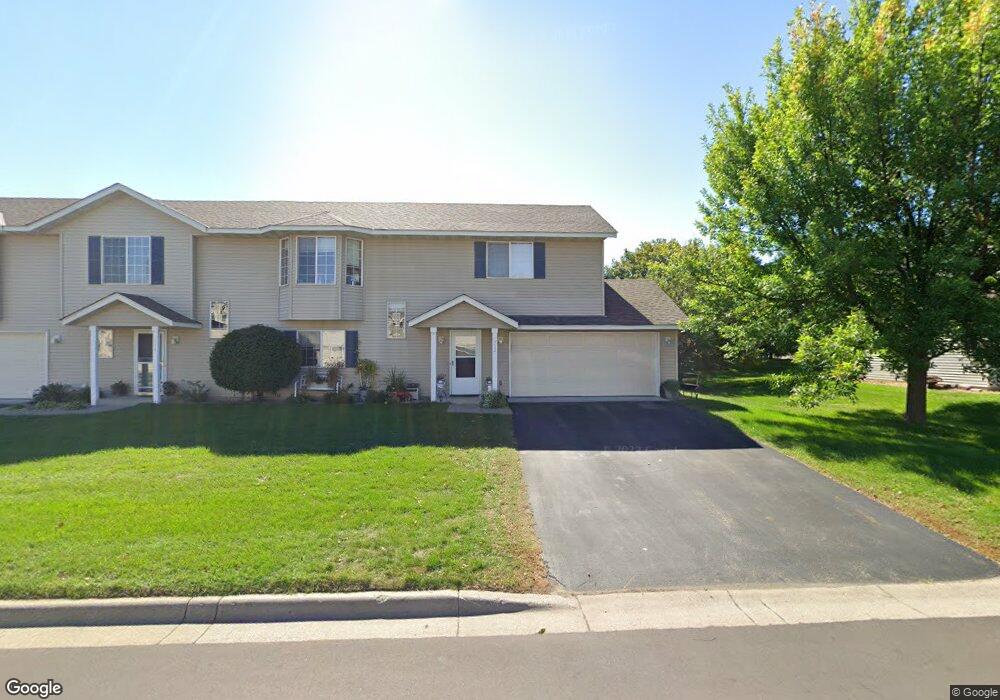
1932 Downing Ave Shakopee, MN 55379
Estimated Value: $241,000 - $273,000
About This Home
This home is located at 1932 Downing Ave, Shakopee, MN 55379 and is currently estimated at $260,551, approximately $182 per square foot. 1932 Downing Ave is a home located in Scott County with nearby schools including Sun Path Elementary School, Shakopee West Middle School, and Shakopee Senior High School.
Ownership History
We collect this data history from publicly available records. To have your information removed, we recommend requesting removal directly through your county’s website.
Purchase Details
Home Financials for this Owner
Home Financials are based on the most recent Mortgage that was taken out on this home.Purchase Details
Purchase Details
Home Values in the Area
Average Home Value in this Area
Purchase History
We collect this data history from publicly available records. To have your information removed, we recommend requesting removal directly through your county’s website.
| Date | Buyer | Sale Price | Title Company |
|---|---|---|---|
| $189,000 | Watermark Title Agency | ||
| $166,000 | -- | ||
| $124,430 | -- |
Mortgage History
We collect this data history from publicly available records. To have your information removed, we recommend requesting removal directly through your county’s website.
| Date | Status | Borrower | Loan Amount |
|---|---|---|---|
| Open | $141,750 |
Tax History
We collect this data history from publicly available records. To have your information removed, we recommend requesting removal directly through your county’s website.
| Year | Tax Paid | Tax Assessment Tax Assessment Total Assessment is a certain percentage of the fair market value that is determined by local assessors to be the total taxable value of land and additions on the property. | Land | Improvement |
|---|---|---|---|---|
| 2026 | $2,546 | $251,100 | $83,800 | $167,300 |
| 2025 | $2,546 | $252,100 | $83,800 | $168,300 |
| 2024 | $2,544 | $240,700 | $79,800 | $160,900 |
| 2023 | $2,604 | $237,000 | $78,300 | $158,700 |
| 2022 | $2,564 | $238,800 | $80,100 | $158,700 |
| 2021 | $2,268 | $201,400 | $62,700 | $138,700 |
| 2020 | $2,392 | $194,600 | $55,100 | $139,500 |
| 2019 | $1,962 | $180,300 | $47,200 | $133,100 |
| 2018 | $2,056 | $0 | $0 | $0 |
| 2016 | $1,856 | $0 | $0 | $0 |
| 2014 | -- | $0 | $0 | $0 |
Map
- 1849 Pintail Ave
- 1998 Brittany Ct
- 1805 Pintail Ave Unit 2001
- 1836 Mockingbird Ave
- 1507 Dublin Ct
- 1559 Dublin Ct
- 1519 Balinese St
- 1523 Balinese St
- 1649 Hamilton Ln Unit 71
- 1928 Vierling Dr E
- 2065 Anton Way
- 2084 Vierling Dr E
- 2126 Vierling Dr E
- 2777 Downing Ave
- 1286 Limestone Dr S
- 1227 Elmwood Ave Unit 85
- 2006 Tyrone Dr
- 2015 Heritage Dr
- 1967 Hazen St
- 1572 Countryside Dr
- 1948 Downing Ave
- 1916 Downing Ave
- 1964 Downing Ave
- 1900 Downing Ave
- 1929 Downing Ave
- 1897 Pintail Ave Unit 1805
- 1945 Downing Ave
- 1881 Pintail Ave
- 1930 Pintail Ave
- 1961 Downing Ave
- 1884 Downing Ave
- 1934 Pintail Ave
- 1934 1934 Pintail Ave
- 1893 Pintail Ave
- 1877 Pintail Ave
- 1897 Downing Ave
- 1977 Downing Ave
- 1933 Mockingbird Ave Unit 1708
- 1938 Pintail Ave
- 1937 Mockingbird Ave
Ask me questions while you tour the home.