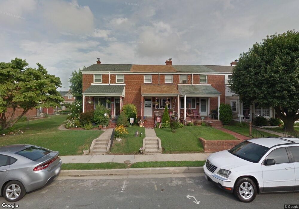
1932 Ormand Rd Dundalk, MD 21222
Estimated Value: $157,000 - $202,000
Studio
1
Bath
896
Sq Ft
$204/Sq Ft
Est. Value
About This Home
This home is located at 1932 Ormand Rd, Dundalk, MD 21222 and is currently estimated at $182,427, approximately $203 per square foot. 1932 Ormand Rd is a home located in Baltimore County with nearby schools including Grange Elementary School, General John Stricker Middle School, and Patapsco High & Center for Arts.
Ownership History
Date
Name
Owned For
Owner Type
Purchase Details
Closed on
Jul 26, 2000
Sold by
Secretary Of Housing
Bought by
Steckler Gary and Steckler Jonathan
Current Estimated Value
Purchase Details
Closed on
Dec 15, 1999
Sold by
Walker Michael J
Bought by
Secretary Of Housing
Purchase Details
Closed on
Dec 18, 1995
Sold by
Smith Harold L
Bought by
Walker Michael J and Walker Melissa J
Create a Home Valuation Report for This Property
The Home Valuation Report is an in-depth analysis detailing your home's value as well as a comparison with similar homes in the area
Home Values in the Area
Average Home Value in this Area
Purchase History
| Date | Buyer | Sale Price | Title Company |
|---|---|---|---|
| Steckler Gary | $49,700 | -- | |
| Secretary Of Housing | $82,750 | -- | |
| Walker Michael J | $69,000 | -- |
Source: Public Records
Tax History
| Year | Tax Paid | Tax Assessment Tax Assessment Total Assessment is a certain percentage of the fair market value that is determined by local assessors to be the total taxable value of land and additions on the property. | Land | Improvement |
|---|---|---|---|---|
| 2025 | $2,104 | $120,433 | -- | -- |
| 2024 | $2,104 | $111,867 | $0 | $0 |
| 2023 | $1,979 | $103,300 | $36,000 | $67,300 |
| 2022 | $2,158 | $103,300 | $36,000 | $67,300 |
| 2021 | $2,055 | $103,300 | $36,000 | $67,300 |
| 2020 | $2,055 | $108,400 | $36,000 | $72,400 |
| 2019 | $1,939 | $102,600 | $0 | $0 |
| 2018 | $1,776 | $96,800 | $0 | $0 |
| 2017 | $1,742 | $95,100 | $0 | $0 |
| 2016 | $2,358 | $94,900 | $0 | $0 |
| 2015 | $2,358 | $94,900 | $0 | $0 |
| 2014 | $2,358 | $109,100 | $0 | $0 |
Source: Public Records
Map
Nearby Homes
- 1935 Stanhope Rd
- 2782 Moorgate Rd
- 1930 Stanhope Rd
- 2811 Moorgate Rd
- 1954 Stanhope Rd
- 2012 Wareham Rd
- 1911 Sunberry Rd
- 7252 Meadow Ln
- 7807 Rockbourne Rd
- 7832 Rockbourne Rd
- 1940H Robinwood Rd
- 7111 Sollers Point Rd
- 7849 Harold Rd
- 9 Vista Mobile Dr
- 2924 Sollers Point Rd
- 7512 School Ave
- 2953 Yorkway
- 8201 Seaworthy Way
- 7449 Lawrence Rd Unit D
- 3145 Baybriar Rd
- 1930 Ormand Rd
- 1934 Ormand Rd
- 1928 Ormand Rd
- 1926 Ormand Rd
- 1936 Ormand Rd
- 1924 Ormand Rd
- 1938 Ormand Rd
- 1940 Ormand Rd
- 1933 Wareham Rd
- 1931 Wareham Rd
- 1935 Wareham Rd
- 1942 Ormand Rd
- 1929 Wareham Rd
- 1920 Ormand Rd
- 1927 Wareham Rd
- 1937 Wareham Rd
- 1925 Wareham Rd
- 1944 Ormand Rd
- 1918 Ormand Rd
- 1939 Wareham Rd
Your Personal Tour Guide
Ask me questions while you tour the home.