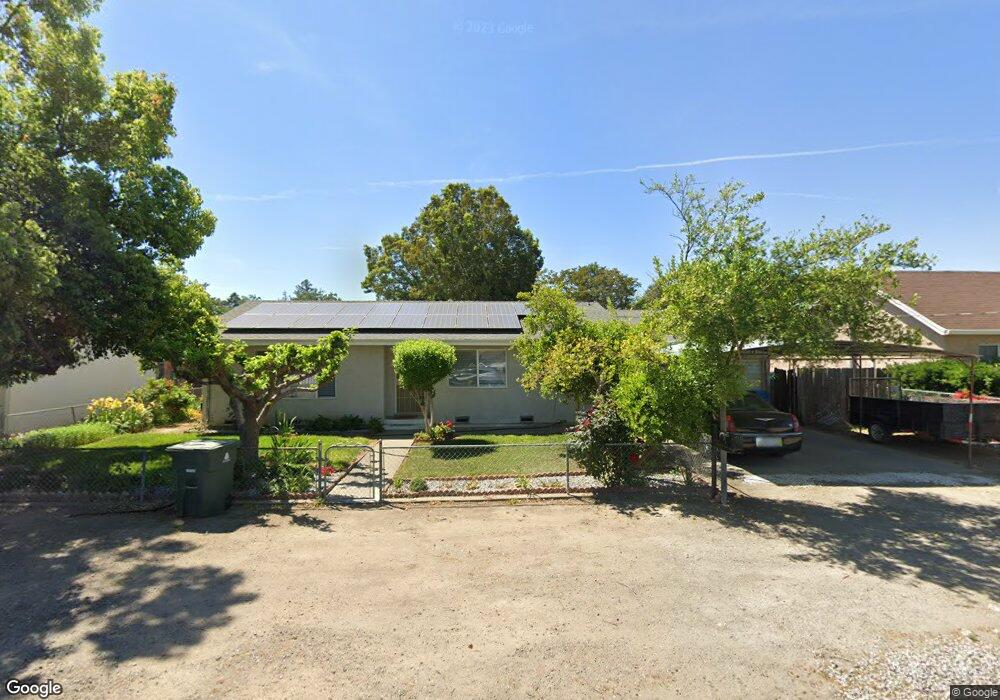
1932 Walnut St Sutter, CA 95982
Estimated Value: $215,000 - $305,997
2
Beds
1
Bath
1,021
Sq Ft
$273/Sq Ft
Est. Value
About This Home
This home is located at 1932 Walnut St, Sutter, CA 95982 and is currently estimated at $278,999, approximately $273 per square foot. 1932 Walnut St is a home located in Sutter County with nearby schools including Brittan Elementary School and Sutter High School.
Ownership History
Date
Name
Owned For
Owner Type
Purchase Details
Closed on
Dec 18, 2002
Sold by
Adame Roberto and Adame Olivia
Bought by
Adame Roberto and Adame Olivia
Current Estimated Value
Home Financials for this Owner
Home Financials are based on the most recent Mortgage that was taken out on this home.
Original Mortgage
$85,000
Interest Rate
5.96%
Create a Home Valuation Report for This Property
The Home Valuation Report is an in-depth analysis detailing your home's value as well as a comparison with similar homes in the area
Home Values in the Area
Average Home Value in this Area
Purchase History
| Date | Buyer | Sale Price | Title Company |
|---|---|---|---|
| Adame Roberto | -- | Alliance Title Company |
Source: Public Records
Mortgage History
| Date | Status | Borrower | Loan Amount |
|---|---|---|---|
| Closed | Adame Roberto | $85,000 |
Source: Public Records
Tax History
| Year | Tax Paid | Tax Assessment Tax Assessment Total Assessment is a certain percentage of the fair market value that is determined by local assessors to be the total taxable value of land and additions on the property. | Land | Improvement |
|---|---|---|---|---|
| 2025 | $1,405 | $137,851 | $49,820 | $88,031 |
| 2024 | $1,405 | $135,149 | $48,844 | $86,305 |
| 2023 | $1,405 | $132,500 | $47,887 | $84,613 |
| 2022 | $1,360 | $129,903 | $46,949 | $82,954 |
| 2021 | $1,346 | $127,388 | $46,044 | $81,344 |
| 2020 | $1,328 | $126,082 | $45,572 | $80,510 |
| 2019 | $1,531 | $123,609 | $44,678 | $78,931 |
| 2018 | $1,517 | $121,185 | $43,802 | $77,383 |
| 2017 | $1,445 | $118,809 | $42,943 | $75,866 |
| 2016 | $1,434 | $116,479 | $42,101 | $74,378 |
Source: Public Records
Map
Nearby Homes
- 1939 1st Ave
- 2185 Perry St
- 2211 W Ridge Dr
- 7662 Washington St
- 2371 Elm St
- 7669 Barrow St
- 7830 Griffith Ln
- 2431 Madrone St
- 8617 S Butte Rd
- 1244 Acacia Ave
- 2637 Acacia Ave
- 2634 Madrone St
- 8970 S Butte Rd
- 5576 S Butte Rd
- 8454 Pass Rd
- 4423 Dresser Rd
- 2065 Howlett Ave
- 2269 N Township Rd
- 3327 Sam Brannan Way
- 0 Colusa Frontage Rd
- 1950 Walnut St
- 1930 Walnut St
- 1960 Walnut St
- 1976 Walnut St
- 7939 Marshall St
- 1978 Walnut St
- 1939 Walnut St
- 1965 1st Ave
- 1931 Walnut St Unit 19,20
- 1955 Walnut St
- 7959 Marshall St
- 1969 Walnut St
- 7887 Marshall St
- 7989 Marshall St
- 7978 S Butte Rd
- 1975 Walnut St
- 1952 Acacia Ave
- 1932 1st Ave
- 1946 1st Ave
- 1896 Walnut St
Your Personal Tour Guide
Ask me questions while you tour the home.