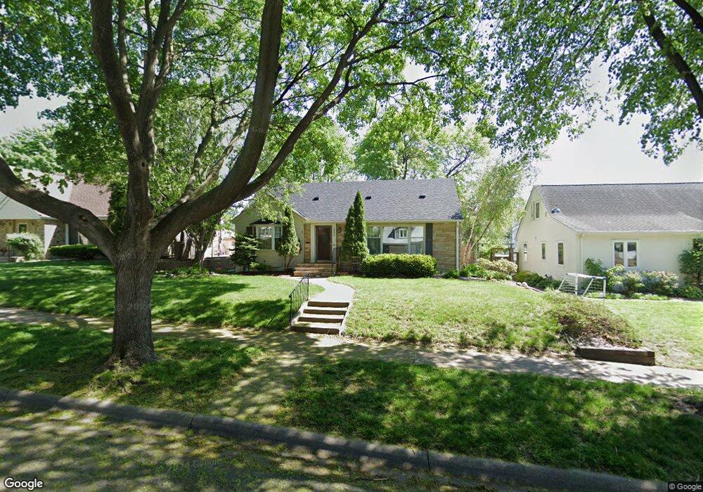
1934 Rome Ave Saint Paul, MN 55116
Highland Park NeighborhoodEstimated Value: $643,000 - $712,000
5
Beds
3
Baths
3,519
Sq Ft
$193/Sq Ft
Est. Value
About This Home
This home is located at 1934 Rome Ave, Saint Paul, MN 55116 and is currently estimated at $680,008, approximately $193 per square foot. 1934 Rome Ave is a home located in Ramsey County with nearby schools including Horace Mann School, Highland Park Middle School, and Highland Park Senior High.
Ownership History
Date
Name
Owned For
Owner Type
Purchase Details
Closed on
Jul 3, 2021
Sold by
Patwell Karen Lynn Mitchell
Bought by
Rockswold Mark C and Costello Erin M
Current Estimated Value
Home Financials for this Owner
Home Financials are based on the most recent Mortgage that was taken out on this home.
Original Mortgage
$460,000
Outstanding Balance
$417,761
Interest Rate
2.96%
Mortgage Type
New Conventional
Estimated Equity
$262,247
Create a Home Valuation Report for This Property
The Home Valuation Report is an in-depth analysis detailing your home's value as well as a comparison with similar homes in the area
Home Values in the Area
Average Home Value in this Area
Purchase History
| Date | Buyer | Sale Price | Title Company |
|---|---|---|---|
| Rockswold Mark C | $575,000 | Legacy Title | |
| Costello Erin Erin | $575,000 | -- |
Source: Public Records
Mortgage History
| Date | Status | Borrower | Loan Amount |
|---|---|---|---|
| Open | Rockswold Mark C | $460,000 | |
| Closed | Costello Erin Erin | $460,000 |
Source: Public Records
Tax History Compared to Growth
Tax History
| Year | Tax Paid | Tax Assessment Tax Assessment Total Assessment is a certain percentage of the fair market value that is determined by local assessors to be the total taxable value of land and additions on the property. | Land | Improvement |
|---|---|---|---|---|
| 2025 | $10,060 | $659,700 | $170,100 | $489,600 |
| 2023 | $10,060 | $628,500 | $170,100 | $458,400 |
| 2022 | $6,948 | $510,300 | $170,100 | $340,200 |
| 2021 | $7,114 | $429,500 | $170,100 | $259,400 |
| 2020 | $7,172 | $445,100 | $170,100 | $275,000 |
| 2019 | $7,012 | $416,400 | $170,100 | $246,300 |
| 2018 | $6,334 | $403,100 | $170,100 | $233,000 |
| 2017 | $6,680 | $377,600 | $170,100 | $207,500 |
| 2016 | $6,402 | $0 | $0 | $0 |
| 2015 | $6,596 | $366,900 | $146,600 | $220,300 |
| 2014 | $6,624 | $0 | $0 | $0 |
Source: Public Records
Map
Nearby Homes
- 1841 W Saunders Ave
- 2046 Montreal Ave
- 1075 Saint Paul Ave
- 1941 Ford Pkwy Unit 102
- 1759 Montreal Ave
- 1752 Bohland Ave
- 1778 Ford Pkwy
- 1776 Ford Pkwy
- 1065 Colby St
- 896 Mississippi River Blvd S
- 878 Mississippi River Blvd S
- 1913 Morgan Ave
- 1640 Bohland Ave
- 875 Falls Passage W Unit C
- 1626 Bohland Ave
- 870 Mount Curve Blvd Unit L
- 909 Mount Curve Blvd Unit F
- 909 Mount Curve Blvd Unit I
- 906 S Woodlawn Ave Unit H
- 906 S Woodlawn Ave Unit E
- 1940 Rome Ave
- 1928 Rome Ave
- 1946 Rome Ave
- 1920 Rome Ave
- 1931 Montreal Ave
- 1935 Montreal Ave
- 1925 Montreal Ave
- 1941 Montreal Ave
- 1950 Rome Ave
- 1921 Montreal Ave
- 1914 Rome Ave
- 1931 Rome Ave
- 1947 Montreal Ave
- 1937 Rome Ave
- 1925 Rome Ave
- 1915 Montreal Ave
- 1941 W Rome Ave
- 1954 Rome Ave
- 1945 Rome Ave
- 1945 Rome (Lot 7) Ave