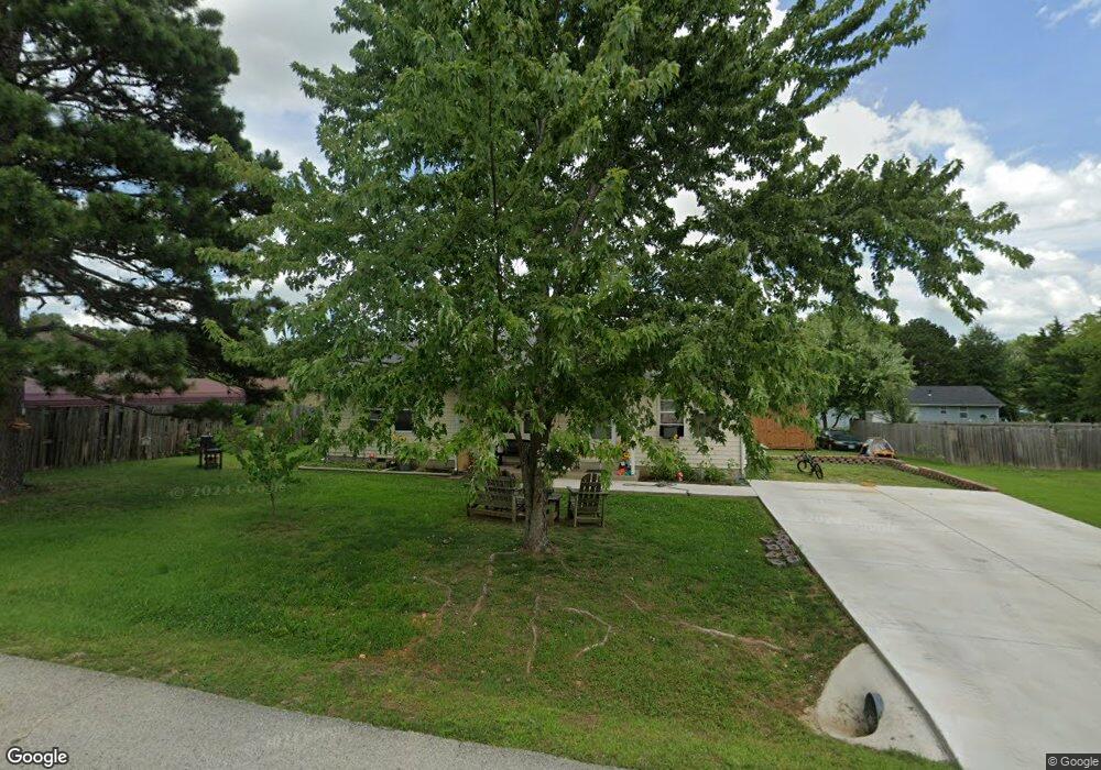
1936 Meadow Dr West Plains, MO 65775
Estimated Value: $105,577 - $245,000
--
Bed
--
Bath
1,144
Sq Ft
$147/Sq Ft
Est. Value
About This Home
This home is located at 1936 Meadow Dr, West Plains, MO 65775 and is currently estimated at $167,894, approximately $146 per square foot. 1936 Meadow Dr is a home with nearby schools including West Plains Senior High School and Faith Assembly Christian School.
Ownership History
Date
Name
Owned For
Owner Type
Purchase Details
Closed on
Mar 3, 2022
Sold by
Nordyke and Tabetha
Bought by
Weisbrod Wyatt and Alexander Amber R
Current Estimated Value
Home Financials for this Owner
Home Financials are based on the most recent Mortgage that was taken out on this home.
Original Mortgage
$80,197
Outstanding Balance
$74,733
Interest Rate
3.69%
Mortgage Type
New Conventional
Estimated Equity
$93,161
Purchase Details
Closed on
Oct 4, 2013
Sold by
Deckard Deanna and Deckard Nathan
Bought by
Nordyke Brandon
Create a Home Valuation Report for This Property
The Home Valuation Report is an in-depth analysis detailing your home's value as well as a comparison with similar homes in the area
Home Values in the Area
Average Home Value in this Area
Purchase History
| Date | Buyer | Sale Price | Title Company |
|---|---|---|---|
| Weisbrod Wyatt | -- | None Listed On Document | |
| Nordyke Brandon | -- | None Available |
Source: Public Records
Mortgage History
| Date | Status | Borrower | Loan Amount |
|---|---|---|---|
| Open | Weisbrod Wyatt | $80,197 |
Source: Public Records
Tax History Compared to Growth
Tax History
| Year | Tax Paid | Tax Assessment Tax Assessment Total Assessment is a certain percentage of the fair market value that is determined by local assessors to be the total taxable value of land and additions on the property. | Land | Improvement |
|---|---|---|---|---|
| 2025 | $577 | $13,950 | $1,610 | $12,340 |
| 2024 | $574 | $12,450 | -- | -- |
| 2023 | $574 | $12,450 | $0 | $0 |
| 2022 | $543 | $11,790 | $0 | $0 |
| 2021 | $536 | $11,790 | $0 | $0 |
| 2020 | $536 | $11,360 | $0 | $0 |
| 2019 | $556 | $11,360 | $0 | $0 |
| 2018 | $548 | $11,200 | $0 | $0 |
| 2017 | $546 | $11,200 | $0 | $0 |
| 2015 | -- | $10,910 | $0 | $0 |
| 2014 | -- | $10,340 | $0 | $0 |
| 2013 | -- | $10,340 | $0 | $0 |
Source: Public Records
Map
Nearby Homes
- 1931 Kay Dr
- 1933 Lynn Dr
- 2204 Gleghorn St
- 000 Joann Dr
- 1945 Debra Dr
- 1805 Cole St
- 000 Gleghorn St
- 2111 Jackie Dr
- 1938 Debra Dr
- 1816 Lasswell St
- 2204 Lynn Dr
- 1807 Lexington Ave
- 2416 Gleghorn St
- 31 & 33 Burgoyne St
- 1908 Timber Ln
- 1402 Stoney Dr
- 2505 Courtney Place
- 000 Porter Wagoner Blvd
- 2808 Burke Ave
- 2810 Burke Ave