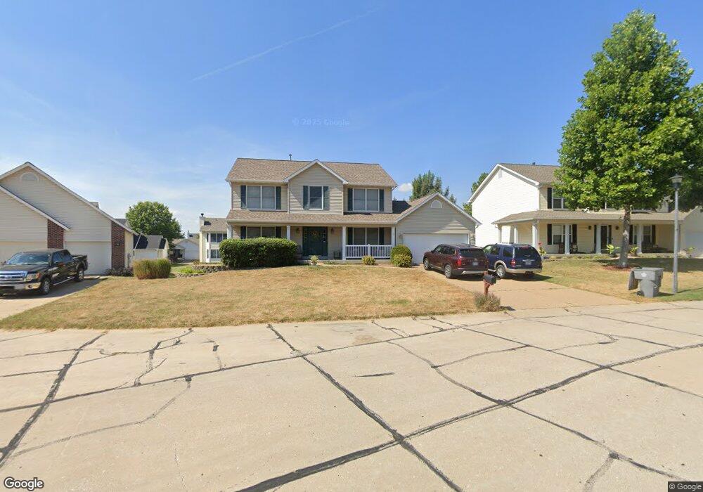
1936 Sapling Dr O Fallon, MO 63366
Estimated Value: $405,822 - $437,000
4
Beds
3
Baths
2,556
Sq Ft
$163/Sq Ft
Est. Value
About This Home
This home is located at 1936 Sapling Dr, O Fallon, MO 63366 and is currently estimated at $416,956, approximately $163 per square foot. 1936 Sapling Dr is a home located in St. Charles County with nearby schools including Westhoff Elementary School, Fort Zumwalt North Middle School, and Fort Zumwalt North High School.
Ownership History
Date
Name
Owned For
Owner Type
Purchase Details
Closed on
Oct 17, 2006
Sold by
Hamid Sibtain and Hamid Shabana
Bought by
Miller Joseph W and Miller Angela B
Current Estimated Value
Home Financials for this Owner
Home Financials are based on the most recent Mortgage that was taken out on this home.
Original Mortgage
$179,000
Outstanding Balance
$106,813
Interest Rate
6.46%
Mortgage Type
Purchase Money Mortgage
Estimated Equity
$310,143
Purchase Details
Closed on
Aug 30, 2002
Sold by
Howing William L and Howing Nelda K
Bought by
Hamid Sibtain and Hamid Shabana
Home Financials for this Owner
Home Financials are based on the most recent Mortgage that was taken out on this home.
Original Mortgage
$148,400
Interest Rate
6.33%
Purchase Details
Closed on
Aug 25, 1999
Sold by
Whittaker Construction Inc
Bought by
Howing William L and Howing Nelda K
Home Financials for this Owner
Home Financials are based on the most recent Mortgage that was taken out on this home.
Original Mortgage
$110,000
Interest Rate
7.65%
Create a Home Valuation Report for This Property
The Home Valuation Report is an in-depth analysis detailing your home's value as well as a comparison with similar homes in the area
Home Values in the Area
Average Home Value in this Area
Purchase History
| Date | Buyer | Sale Price | Title Company |
|---|---|---|---|
| Miller Joseph W | $223,750 | Ust | |
| Hamid Sibtain | -- | -- | |
| Howing William L | -- | -- |
Source: Public Records
Mortgage History
| Date | Status | Borrower | Loan Amount |
|---|---|---|---|
| Open | Miller Joseph W | $179,000 | |
| Previous Owner | Hamid Sibtain | $148,400 | |
| Previous Owner | Howing William L | $110,000 |
Source: Public Records
Tax History
| Year | Tax Paid | Tax Assessment Tax Assessment Total Assessment is a certain percentage of the fair market value that is determined by local assessors to be the total taxable value of land and additions on the property. | Land | Improvement |
|---|---|---|---|---|
| 2025 | $4,408 | $72,607 | -- | -- |
| 2023 | $4,410 | $66,719 | $0 | $0 |
| 2022 | $3,635 | $51,091 | $0 | $0 |
| 2021 | $3,638 | $51,091 | $0 | $0 |
| 2020 | $3,700 | $50,364 | $0 | $0 |
| 2019 | $3,709 | $50,364 | $0 | $0 |
| 2018 | $3,636 | $47,142 | $0 | $0 |
| 2017 | $3,593 | $47,142 | $0 | $0 |
| 2016 | $3,105 | $40,565 | $0 | $0 |
| 2015 | $2,886 | $40,565 | $0 | $0 |
| 2014 | $2,607 | $36,024 | $0 | $0 |
Source: Public Records
Map
Nearby Homes
- 1818 Sapling Dr
- 1805 Sapling Dr
- 2837 Grand Slam Dr
- 730 Homerun Dr Unit 76N
- 811 Homefield Grove Ct
- 634 Homerun Dr Unit 34N
- 632 Homerun Dr Unit 33N
- 17 Homefield Gardens Dr
- 487 Chatham Dr
- 1358 Deerfield Estates Dr
- 1612 Homefield Meadows Dr
- 231 England Dr
- 214 Maryland Dr Unit 26B
- 31 Piepers Glen Ct
- 1102 Danielle Elizabeth Ct
- 0 Tom Ginnever Ave
- 6 S Boxwood Ln
- 201 Allen Dr
- 34 Logan Crossing Cir
- 409 Saint Joseph Ave
- 1932 Sapling Dr
- 1940 Sapling Dr
- 316 Highgrove Place Dr
- 308 Highgrove Place Dr
- 320 Highgrove Place Dr
- 1933 Sapling Dr
- 1944 Sapling Dr
- 1929 Sapling Dr
- 304 Highgrove Place Dr
- 1937 Sapling Dr
- 324 Highgrove Place Dr
- 1924 Sapling Dr
- 1941 Sapling Dr
- 1925 Sapling Dr
- 313 Highgrove Place Dr
- 1935 Hedge Dr
- 309 Highgrove Place Dr
- 328 Highgrove Place Dr
- 305 Estate Dr
- 1920 Sapling Dr
Your Personal Tour Guide
Ask me questions while you tour the home.