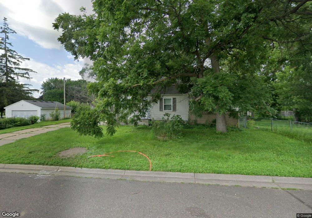
1937 Dieter St N Saint Paul, MN 55109
Gladstone NeighborhoodEstimated Value: $307,000 - $318,000
3
Beds
1
Bath
1,618
Sq Ft
$192/Sq Ft
Est. Value
About This Home
This home is located at 1937 Dieter St N, Saint Paul, MN 55109 and is currently estimated at $310,443, approximately $191 per square foot. 1937 Dieter St N is a home located in Ramsey County with nearby schools including Weaver Elementary School, John Glenn Middle School, and Mounds Park Academy.
Ownership History
Date
Name
Owned For
Owner Type
Purchase Details
Closed on
Aug 27, 2014
Sold by
Becker Greyton I and Becker Victoria
Bought by
Grissom Anthony R
Current Estimated Value
Home Financials for this Owner
Home Financials are based on the most recent Mortgage that was taken out on this home.
Original Mortgage
$170,500
Outstanding Balance
$130,384
Interest Rate
4.11%
Mortgage Type
VA
Estimated Equity
$180,059
Purchase Details
Closed on
Oct 17, 2008
Sold by
Federal National Mortgage Association
Bought by
Emer Michael and Emer Cynthia
Purchase Details
Closed on
Nov 26, 2003
Sold by
Caye Jerad F
Bought by
Yang Chou and Nou Vang
Purchase Details
Closed on
Feb 28, 2001
Sold by
Thysell Charles L
Bought by
Caye Jerad F
Create a Home Valuation Report for This Property
The Home Valuation Report is an in-depth analysis detailing your home's value as well as a comparison with similar homes in the area
Home Values in the Area
Average Home Value in this Area
Purchase History
| Date | Buyer | Sale Price | Title Company |
|---|---|---|---|
| Grissom Anthony R | $175,666 | Watermark Title Agency Llc | |
| Emer Michael | $106,200 | -- | |
| Yang Chou | $167,000 | -- | |
| Caye Jerad F | $118,500 | -- |
Source: Public Records
Mortgage History
| Date | Status | Borrower | Loan Amount |
|---|---|---|---|
| Open | Grissom Anthony R | $170,500 |
Source: Public Records
Tax History Compared to Growth
Tax History
| Year | Tax Paid | Tax Assessment Tax Assessment Total Assessment is a certain percentage of the fair market value that is determined by local assessors to be the total taxable value of land and additions on the property. | Land | Improvement |
|---|---|---|---|---|
| 2025 | $4,384 | $309,900 | $60,000 | $249,900 |
| 2023 | $4,384 | $292,500 | $60,000 | $232,500 |
| 2022 | $3,870 | $280,100 | $60,000 | $220,100 |
| 2021 | $3,308 | $250,500 | $60,000 | $190,500 |
| 2020 | $3,260 | $238,700 | $58,200 | $180,500 |
| 2019 | $2,780 | $221,300 | $58,200 | $163,100 |
| 2018 | $2,742 | $195,700 | $58,200 | $137,500 |
| 2017 | $2,850 | $188,700 | $58,200 | $130,500 |
| 2016 | $2,454 | $0 | $0 | $0 |
| 2015 | $2,464 | $165,800 | $53,400 | $112,400 |
| 2014 | $1,978 | $0 | $0 | $0 |
Source: Public Records
Map
Nearby Homes
- 1940 Barclay St
- 1854 Barclay St
- 1869 Birmingham St
- 1984 Prosperity Rd
- 1870 Clarence St
- 1849 Kennard St
- 1937 Flandrau St
- 1435 Price Ave
- 1467 County Road B E
- 1751 Clarence St
- 1856 Flandrau St
- 1509 Sandhurst Ave E
- 1672 Manton St
- 1496 Laurie Rd E
- 1740 English St
- 1627 Christie Place
- 1201 Frost Ave
- 1666 Laurie Rd E
- 1730 Atlantic St
- 1743 White Bear Ave N
- 1937 Dieter St
- 1503 Frost Ave
- 1945 Dieter St
- 1938 Barclay St
- 1928 Barclay St
- 1521 Frost Ave
- 1948 Dieter St
- 1948 Barclay St
- 1950 Dieter St
- 1953 Dieter St
- 1525 Frost Ave
- 1504 Frost Ave
- 1490 Frost Ave
- 1964 Barclay St
- 1488 Frost Ave
- 1954 Dieter St
- 1961 Dieter St
- 1941 Hazelwood St
- 1914 Dieter St
- 1929 Barclay St