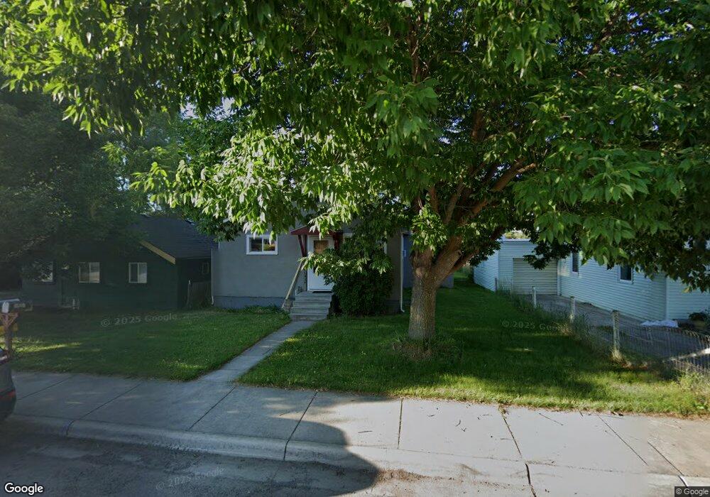
1937 Maple St Missoula, MT 59808
Westside NeighborhoodEstimated Value: $266,000 - $370,862
2
Beds
1
Bath
720
Sq Ft
$441/Sq Ft
Est. Value
About This Home
This home is located at 1937 Maple St, Missoula, MT 59808 and is currently estimated at $317,716, approximately $441 per square foot. 1937 Maple St is a home located in Missoula County with nearby schools including Lowell School, Porter Middle School, and Big Sky High School.
Ownership History
Date
Name
Owned For
Owner Type
Purchase Details
Closed on
Feb 27, 2012
Sold by
Mccullough Michael M and Mccullough Christina
Bought by
Mccullough Property Group Llc
Current Estimated Value
Purchase Details
Closed on
Sep 12, 2011
Sold by
Mccullough Property Group Llc
Bought by
Mccullough Ii Michael M and Mccullough Christina
Purchase Details
Closed on
Jul 29, 2003
Sold by
Mccullough Michael M and Mccullough Christina
Bought by
Mccullough Property Llc
Home Financials for this Owner
Home Financials are based on the most recent Mortgage that was taken out on this home.
Original Mortgage
$101,250
Interest Rate
5.71%
Mortgage Type
Purchase Money Mortgage
Purchase Details
Closed on
Jun 5, 2003
Sold by
Mccullough Michael M
Bought by
Mccullough Michael M and Mccullough Christina
Home Financials for this Owner
Home Financials are based on the most recent Mortgage that was taken out on this home.
Original Mortgage
$101,250
Interest Rate
5.71%
Mortgage Type
Purchase Money Mortgage
Create a Home Valuation Report for This Property
The Home Valuation Report is an in-depth analysis detailing your home's value as well as a comparison with similar homes in the area
Home Values in the Area
Average Home Value in this Area
Purchase History
| Date | Buyer | Sale Price | Title Company |
|---|---|---|---|
| Mccullough Property Group Llc | -- | None Available | |
| Mccullough Ii Michael M | -- | None Available | |
| Mccullough Property Llc | -- | -- | |
| Mccullough Michael M | -- | -- |
Source: Public Records
Mortgage History
| Date | Status | Borrower | Loan Amount |
|---|---|---|---|
| Previous Owner | Mccullough Michael M | $101,250 |
Source: Public Records
Tax History Compared to Growth
Tax History
| Year | Tax Paid | Tax Assessment Tax Assessment Total Assessment is a certain percentage of the fair market value that is determined by local assessors to be the total taxable value of land and additions on the property. | Land | Improvement |
|---|---|---|---|---|
| 2025 | $2,928 | $359,100 | $199,633 | $159,467 |
| 2024 | $2,897 | $243,277 | $109,557 | $133,720 |
| 2023 | $2,711 | $243,277 | $109,557 | $133,720 |
| 2022 | $2,360 | $177,700 | $0 | $0 |
| 2021 | $2,124 | $177,700 | $0 | $0 |
| 2020 | $2,053 | $158,900 | $0 | $0 |
| 2019 | $2,028 | $158,900 | $0 | $0 |
| 2018 | $1,941 | $147,900 | $0 | $0 |
| 2017 | $1,702 | $147,900 | $0 | $0 |
| 2016 | $1,737 | $142,700 | $0 | $0 |
| 2015 | $1,638 | $142,700 | $0 | $0 |
| 2014 | $1,582 | $75,852 | $0 | $0 |
Source: Public Records
Map
Nearby Homes
- 1950 W Broadway St
- 1839 Sherwood St Unit 11
- 2025 Mullan Rd Unit 209
- 1725 Cooper St
- 1427 W Broadway St
- 112 S Travois
- 407 N Surrey St
- 1261 Idaho St Unit B
- 1261 Idaho St Unit A
- 1273 B Idaho St Unit B
- 1273 B Idaho St Unit A
- 2402 Leo Ave
- 1138 Toole Ave
- 1909 Idaho St Unit C
- 1138 Montana St
- 612 N Curtis St
- 1717 Wyoming St Unit 3
- 1822 Wyoming St Unit G
- 1019 Stoddard St
- 1005 Sherwood St
- 1951 Maple St
- 1935 Maple St
- 1931 Maple St
- 1936 Birch St
- 2009 Maple St
- 1940 Birch St
- 1921 Maple St
- 1926 Birch St
- 1905 Maple St Unit B
- 1905 Maple St
- 1905 Maple St Unit A
- 2013 Maple St
- 1918 Birch St
- 1900 1/2 W Broadway St Unit Tbd
- 1900 1/2 W Broadway St Unit H
- 1900 1/2 W Broadway St Unit G
- 1900 1/2 W Broadway St Unit D & E
- 1900 1/2 W Broadway St Unit B/C
- 1900 1/2 W Broadway St Unit A/Bc
- 1900 1/2 W Broadway St Unit A