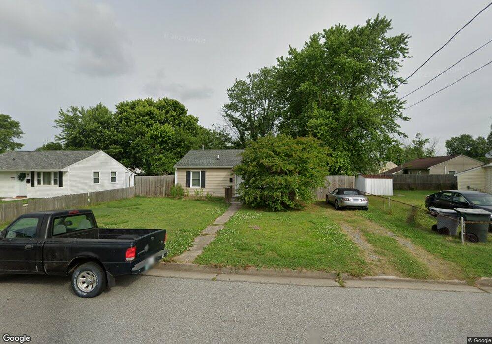
1937 Rawood Dr Hampton, VA 23663
Buckroe Beach NeighborhoodEstimated Value: $199,000 - $217,000
3
Beds
1
Bath
768
Sq Ft
$271/Sq Ft
Est. Value
About This Home
This home is located at 1937 Rawood Dr, Hampton, VA 23663 and is currently estimated at $207,991, approximately $270 per square foot. 1937 Rawood Dr is a home located in Hampton City with nearby schools including Benjamin Syms Middle School, Phoebus High School, and Gloria Dei Lutheran School.
Ownership History
Date
Name
Owned For
Owner Type
Purchase Details
Closed on
Nov 19, 2018
Sold by
Bennett Deborah K
Bought by
Laity Bert
Current Estimated Value
Home Financials for this Owner
Home Financials are based on the most recent Mortgage that was taken out on this home.
Original Mortgage
$83,200
Outstanding Balance
$73,158
Interest Rate
4.8%
Mortgage Type
New Conventional
Estimated Equity
$134,833
Create a Home Valuation Report for This Property
The Home Valuation Report is an in-depth analysis detailing your home's value as well as a comparison with similar homes in the area
Home Values in the Area
Average Home Value in this Area
Purchase History
| Date | Buyer | Sale Price | Title Company |
|---|---|---|---|
| Laity Bert | $104,000 | Attorney |
Source: Public Records
Mortgage History
| Date | Status | Borrower | Loan Amount |
|---|---|---|---|
| Open | Laity Bert | $83,200 |
Source: Public Records
Tax History
| Year | Tax Paid | Tax Assessment Tax Assessment Total Assessment is a certain percentage of the fair market value that is determined by local assessors to be the total taxable value of land and additions on the property. | Land | Improvement |
|---|---|---|---|---|
| 2025 | $2,131 | $182,600 | $55,000 | $127,600 |
| 2024 | $1,885 | $163,900 | $55,000 | $108,900 |
| 2023 | $1,877 | $161,800 | $55,000 | $106,800 |
| 2022 | $1,553 | $131,600 | $50,000 | $81,600 |
| 2021 | $1,660 | $123,400 | $42,000 | $81,400 |
| 2020 | $1,293 | $104,300 | $38,300 | $66,000 |
| 2019 | $1,287 | $103,800 | $38,300 | $65,500 |
| 2018 | $799 | $88,700 | $38,300 | $50,400 |
| 2017 | $1,194 | $0 | $0 | $0 |
| 2016 | $1,194 | $88,700 | $0 | $0 |
| 2015 | $503 | $0 | $0 | $0 |
| 2014 | $1,264 | $88,700 | $38,300 | $50,400 |
Source: Public Records
Map
Nearby Homes
- 1926 Somerville Dr
- 1923 Rawood Dr
- 2013 Whitman Place
- 1915 Long Green Ln
- 1909 Long Green Ln
- 1912 Beall Dr
- 706 Grimes Rd
- 2007 Egger Cir
- 1814 Somerville Dr
- 2013 Egger Cir
- 1845 Kensington Dr
- 1530 Morgan Dr
- 1527 Grove St
- 733 Burgess Ave
- 731 Burgess Ave
- 2000 Beall Dr
- 2020 Seward Dr
- 604 Old Buckroe Rd
- 438 Shelton Rd
- 213 Ireland St
- 1939 Rawood Dr
- 903 Redford Rd
- 1934 Somerville Dr
- 1932 Somerville Dr
- 1933 Rawood Dr
- 1936 Somerville Dr
- 1938 Rawood Dr
- 1930 Somerville Dr
- 1940 Rawood Dr
- 1936 Rawood Dr
- 1931 Rawood Dr
- 1934 Rawood Dr
- 1928 Somerville Dr
- 803 Redford Rd
- 2001 Rawood Dr
- 902 Redford Rd
- 1929 Rawood Dr
- 1935 Somerville Dr
- 1933 Somerville Dr
- 1941 Kensington Dr
Your Personal Tour Guide
Ask me questions while you tour the home.