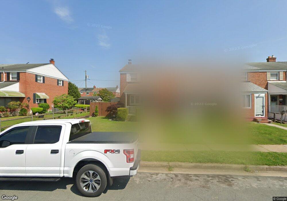
1937 Wareham Rd Dundalk, MD 21222
Estimated Value: $162,330 - $221,000
Studio
1
Bath
1,008
Sq Ft
$199/Sq Ft
Est. Value
About This Home
This home is located at 1937 Wareham Rd, Dundalk, MD 21222 and is currently estimated at $200,583, approximately $198 per square foot. 1937 Wareham Rd is a home located in Baltimore County with nearby schools including Grange Elementary School, General John Stricker Middle School, and Patapsco High & Center for Arts.
Ownership History
Date
Name
Owned For
Owner Type
Purchase Details
Closed on
Dec 29, 2006
Sold by
Slomba Lorri and Slomba Ann M
Bought by
Watkins Lorr
Current Estimated Value
Home Financials for this Owner
Home Financials are based on the most recent Mortgage that was taken out on this home.
Original Mortgage
$80,000
Interest Rate
6.31%
Mortgage Type
Stand Alone Refi Refinance Of Original Loan
Purchase Details
Closed on
Oct 25, 2006
Sold by
Slomba Lorri and Slomba Ann M
Bought by
Watkins Lorr
Home Financials for this Owner
Home Financials are based on the most recent Mortgage that was taken out on this home.
Original Mortgage
$80,000
Interest Rate
6.31%
Mortgage Type
Stand Alone Refi Refinance Of Original Loan
Purchase Details
Closed on
Feb 9, 2004
Sold by
Slomba Richard S
Bought by
Slomba Lorr
Purchase Details
Closed on
Feb 6, 1989
Sold by
Gardner John W
Bought by
Slomba Richard S
Create a Home Valuation Report for This Property
The Home Valuation Report is an in-depth analysis detailing your home's value as well as a comparison with similar homes in the area
Home Values in the Area
Average Home Value in this Area
Purchase History
| Date | Buyer | Sale Price | Title Company |
|---|---|---|---|
| Watkins Lorr | -- | -- | |
| Watkins Lorr | -- | -- | |
| Slomba Lorr | -- | -- | |
| Slomba Lorri | -- | -- | |
| Slomba Richard S | $55,000 | -- |
Source: Public Records
Mortgage History
| Date | Status | Borrower | Loan Amount |
|---|---|---|---|
| Closed | Watkins Lorr | $80,000 | |
| Previous Owner | Watkins Lorr | $80,000 |
Source: Public Records
Tax History
| Year | Tax Paid | Tax Assessment Tax Assessment Total Assessment is a certain percentage of the fair market value that is determined by local assessors to be the total taxable value of land and additions on the property. | Land | Improvement |
|---|---|---|---|---|
| 2025 | $2,504 | $151,900 | -- | -- |
| 2024 | $2,504 | $139,800 | -- | -- |
| 2023 | $1,257 | $127,700 | $38,000 | $89,700 |
| 2022 | $2,496 | $125,533 | $0 | $0 |
| 2021 | $2,732 | $123,367 | $0 | $0 |
| 2020 | $2,732 | $121,200 | $38,000 | $83,200 |
| 2019 | $2,595 | $118,100 | $0 | $0 |
| 2018 | $2,321 | $115,000 | $0 | $0 |
| 2017 | $2,384 | $111,900 | $0 | $0 |
| 2016 | $2,150 | $111,900 | $0 | $0 |
| 2015 | $2,150 | $111,900 | $0 | $0 |
| 2014 | $2,150 | $123,100 | $0 | $0 |
Source: Public Records
Map
Nearby Homes
- 1935 Stanhope Rd
- 1930 Stanhope Rd
- 1954 Stanhope Rd
- 2782 Moorgate Rd
- 2012 Wareham Rd
- 2811 Moorgate Rd
- 1911 Sunberry Rd
- 7252 Meadow Ln
- 7807 Rockbourne Rd
- 1940H Robinwood Rd
- 7832 Rockbourne Rd
- 7111 Sollers Point Rd
- 2924 Sollers Point Rd
- 9 Vista Mobile Dr
- 7849 Harold Rd
- 2953 Yorkway
- 7512 School Ave
- 3145 Baybriar Rd
- 7449 Lawrence Rd Unit D
- 100 Shipway
- 1939 Wareham Rd
- 1941 Wareham Rd
- 1935 Wareham Rd
- 1943 Wareham Rd
- 1933 Wareham Rd
- 1945 Wareham Rd
- 1931 Wareham Rd
- 1947 Wareham Rd
- 1929 Wareham Rd
- 1927 Wareham Rd
- 1949 Wareham Rd
- 1936 Ormand Rd
- 1938 Ormand Rd
- 1934 Ormand Rd
- 1940 Ormand Rd
- 1942 Ormand Rd
- 1932 Ormand Rd
- 1925 Wareham Rd
- 1944 Ormand Rd
- 1930 Ormand Rd
Your Personal Tour Guide
Ask me questions while you tour the home.