Estimated Value: $322,401 - $543,000
3
Beds
2
Baths
2,532
Sq Ft
$173/Sq Ft
Est. Value
About This Home
This home is located at 1937 Watson Rd, Heath, OH 43056 and is currently estimated at $437,600, approximately $172 per square foot. 1937 Watson Rd is a home with nearby schools including Licking Valley Elementary School, Licking Valley Middle School, and Licking Valley High School.
Ownership History
Date
Name
Owned For
Owner Type
Purchase Details
Closed on
May 25, 2021
Sold by
Keener Quentin Brentwood and Keener Jennifer Kath
Bought by
Wohlford Kaley and Wohlford Justin
Current Estimated Value
Purchase Details
Closed on
Mar 15, 2018
Sold by
Bruner Land Company Inc
Bought by
Keener Quentin Brentwood and Keener Jennifer Kathleen
Purchase Details
Closed on
Mar 21, 2017
Sold by
Bruner Land Company Inc
Bought by
Bruner Land Company Inc
Purchase Details
Closed on
Mar 6, 2015
Sold by
Linn Stacey J
Bought by
Linn Stacey J and Linn Clinton J
Purchase Details
Closed on
Jan 4, 2012
Sold by
Park Carolyn L
Bought by
Park Carolyn L and Carolyn L Park Keystone Inheritance Trus
Purchase Details
Closed on
Oct 28, 2009
Sold by
Park Carolyn L
Bought by
Park Edward K and Park Todd T
Purchase Details
Closed on
Sep 9, 2005
Sold by
Morgan Catherine A
Bought by
Linn David F and Park Carolyn L
Create a Home Valuation Report for This Property
The Home Valuation Report is an in-depth analysis detailing your home's value as well as a comparison with similar homes in the area
Home Values in the Area
Average Home Value in this Area
Purchase History
| Date | Buyer | Sale Price | Title Company |
|---|---|---|---|
| Wohlford Kaley | -- | None Listed On Document | |
| Keener Quentin Brentwood | $129,900 | None Available | |
| Bruner Land Company Inc | -- | None Available | |
| Linn Stacey J | -- | None Available | |
| Park Carolyn L | -- | Attorney | |
| Park Edward K | -- | Attorney | |
| Linn David F | $156,000 | -- |
Source: Public Records
Tax History
| Year | Tax Paid | Tax Assessment Tax Assessment Total Assessment is a certain percentage of the fair market value that is determined by local assessors to be the total taxable value of land and additions on the property. | Land | Improvement |
|---|---|---|---|---|
| 2024 | $4,703 | $185,190 | $70,910 | $114,280 |
| 2023 | $4,837 | $185,190 | $70,910 | $114,280 |
| 2022 | $4,659 | $149,490 | $48,900 | $100,590 |
| 2021 | $2,044 | $47,180 | $47,180 | $0 |
| 2020 | $2,043 | $47,180 | $47,180 | $0 |
| 2019 | $1,767 | $42,880 | $42,880 | $0 |
| 2018 | $1,833 | $0 | $0 | $0 |
| 2017 | $1,638 | $0 | $0 | $0 |
| 2016 | $1,005 | $0 | $0 | $0 |
| 2015 | $1,010 | $0 | $0 | $0 |
| 2014 | $1,369 | $0 | $0 | $0 |
| 2013 | $436 | $0 | $0 | $0 |
Source: Public Records
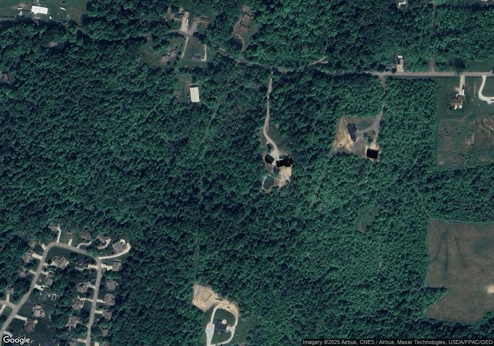
Map
Nearby Homes
- 733 Alpine Cir
- 0 Cumberland Crest
- 1782 Cumberland Crest
- 1933 Blue Jay Rd
- 1871 Blue Jay Rd
- 9246 Summit Rd SE
- 621 S 2nd St
- 611 S 2nd St
- 1306 Kasey Ct
- 748 Francis Dr
- 722 Francis Dr
- 723 Francis Dr
- 733 Francis Dr
- 767 Francis Dr
- 870 Jones St
- 507 Beacon Rd
- 337 Schuler St
- 351 Barclay St
- 20 Bolen Ave
- 62 Mill St
Your Personal Tour Guide
Ask me questions while you tour the home.