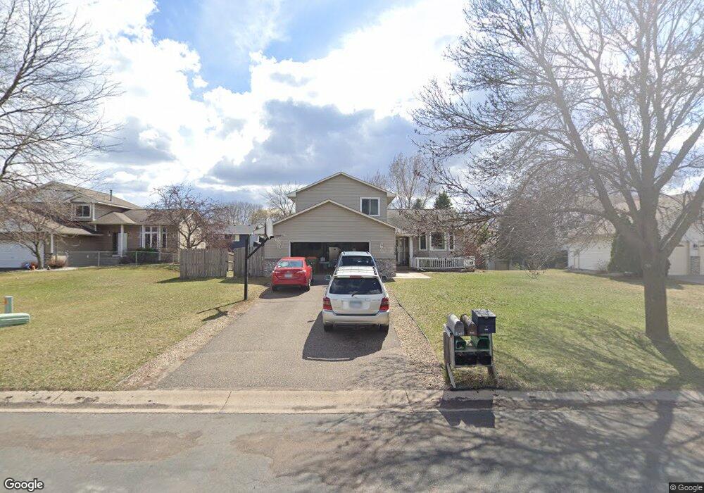
1938 122nd Ave NW Coon Rapids, MN 55448
Estimated Value: $416,000 - $457,000
5
Beds
3
Baths
1,838
Sq Ft
$238/Sq Ft
Est. Value
About This Home
This home is located at 1938 122nd Ave NW, Coon Rapids, MN 55448 and is currently estimated at $436,545, approximately $237 per square foot. 1938 122nd Ave NW is a home located in Anoka County with nearby schools including Lucile Bruner Elementary School, Hoover Elementary School, and Laughlin Junior/Senior High School.
Ownership History
Date
Name
Owned For
Owner Type
Purchase Details
Closed on
Oct 23, 2009
Sold by
Countrywide Home Loans Inc
Bought by
Thor Co and Xiong Casalena M
Current Estimated Value
Home Financials for this Owner
Home Financials are based on the most recent Mortgage that was taken out on this home.
Original Mortgage
$189,450
Outstanding Balance
$126,271
Interest Rate
5.49%
Mortgage Type
FHA
Estimated Equity
$310,274
Purchase Details
Closed on
Feb 21, 2003
Sold by
Hancock George A and Hancock Kimberly J
Bought by
Lee Rocky Angelo
Purchase Details
Closed on
Aug 31, 2001
Sold by
Gabriel Richard J and Gabriel Karen S
Bought by
Hancock George A and Hancock Kimberly J
Purchase Details
Closed on
May 9, 1996
Sold by
Weber Alan J and Weber R
Bought by
Gabriel Richard J
Create a Home Valuation Report for This Property
The Home Valuation Report is an in-depth analysis detailing your home's value as well as a comparison with similar homes in the area
Home Values in the Area
Average Home Value in this Area
Purchase History
| Date | Buyer | Sale Price | Title Company |
|---|---|---|---|
| Thor Co | $193,000 | -- | |
| Lee Rocky Angelo | $249,600 | -- | |
| Hancock George A | $214,900 | -- | |
| Gabriel Richard J | $139,000 | -- |
Source: Public Records
Mortgage History
| Date | Status | Borrower | Loan Amount |
|---|---|---|---|
| Open | Thor Co | $189,450 |
Source: Public Records
Tax History Compared to Growth
Tax History
| Year | Tax Paid | Tax Assessment Tax Assessment Total Assessment is a certain percentage of the fair market value that is determined by local assessors to be the total taxable value of land and additions on the property. | Land | Improvement |
|---|---|---|---|---|
| 2025 | $4,399 | $402,000 | $90,300 | $311,700 |
| 2024 | $4,399 | $413,200 | $99,800 | $313,400 |
| 2023 | $3,983 | $410,400 | $86,100 | $324,300 |
| 2022 | $3,313 | $402,200 | $73,500 | $328,700 |
| 2021 | $3,314 | $301,800 | $62,000 | $239,800 |
| 2020 | $3,449 | $295,000 | $66,200 | $228,800 |
| 2019 | $3,217 | $293,800 | $70,400 | $223,400 |
| 2018 | $3,103 | $267,900 | $0 | $0 |
| 2017 | $2,892 | $251,500 | $0 | $0 |
| 2016 | $2,923 | $229,400 | $0 | $0 |
| 2015 | -- | $229,400 | $53,600 | $175,800 |
| 2014 | -- | $206,300 | $52,800 | $153,500 |
Source: Public Records
Map
Nearby Homes
- 1727 121st Ln NW
- 2068 124th Ln NW
- 12365 Jay St NW
- 2147 125th Ln NW
- 12010 Eagle St NW
- 12463 Drake St NW
- 12554 Grouse St NW
- 1930 127th Cir NW
- 1449 119th Ln NW
- 1593 126th Ln NW
- 12760 Raven St NW
- 1660 Northdale Blvd NW
- 1450 126th Ln NW
- 12759 Ibis St NW
- 12019 Zion St NW
- 12888 Nightingale St NW
- 11444 Hanson Blvd NW
- 11424 Hanson Blvd NW
- 11852 Yellow Pine St NW
- 11350 Jay St NW
- 1924 122nd Ave NW
- 1952 122nd Ave NW
- 12157 Martin St NW
- 12149 Martin St NW
- 1966 122nd Ave NW
- 1910 122nd Ave NW
- 1947 122nd Ave NW
- 12165 Martin St NW
- 12141 Martin St NW
- 1961 122nd Ave NW
- 1933 122nd Ave NW
- 1905 122nd Ave NW
- 1980 122nd Ave NW
- 1919 122nd Ave NW
- 1975 122nd Ave NW
- 12133 Martin St NW
- 1989 122nd Ave NW
- 12128 Martin St NW
- 12168 Martin St NW
- 12160 Martin St NW