1938 Camden Dr Billings, MT 59102
North Central Billings NeighborhoodEstimated Value: $422,000 - $485,000
4
Beds
3
Baths
2,468
Sq Ft
$186/Sq Ft
Est. Value
About This Home
This home is located at 1938 Camden Dr, Billings, MT 59102 and is currently estimated at $458,302, approximately $185 per square foot. 1938 Camden Dr is a home located in Yellowstone County with nearby schools including Poly Drive School, Will James Junior High School, and Billings Senior High School.
Ownership History
Date
Name
Owned For
Owner Type
Purchase Details
Closed on
Jun 14, 2013
Sold by
Brost David P and Brost Kylie L
Bought by
Shannon William Edward and Shannon Judy A
Current Estimated Value
Home Financials for this Owner
Home Financials are based on the most recent Mortgage that was taken out on this home.
Original Mortgage
$151,138
Outstanding Balance
$106,693
Interest Rate
3.32%
Mortgage Type
Future Advance Clause Open End Mortgage
Estimated Equity
$351,609
Purchase Details
Closed on
Jun 30, 2006
Sold by
Mills Hollis A and Mills Linda L
Bought by
Brost David P and Brost Kylie L
Home Financials for this Owner
Home Financials are based on the most recent Mortgage that was taken out on this home.
Original Mortgage
$65,000
Interest Rate
6.57%
Mortgage Type
New Conventional
Create a Home Valuation Report for This Property
The Home Valuation Report is an in-depth analysis detailing your home's value as well as a comparison with similar homes in the area
Home Values in the Area
Average Home Value in this Area
Purchase History
| Date | Buyer | Sale Price | Title Company |
|---|---|---|---|
| Shannon William Edward | -- | None Available | |
| Brost David P | -- | None Available |
Source: Public Records
Mortgage History
| Date | Status | Borrower | Loan Amount |
|---|---|---|---|
| Open | Shannon William Edward | $151,138 | |
| Previous Owner | Brost David P | $65,000 |
Source: Public Records
Tax History Compared to Growth
Tax History
| Year | Tax Paid | Tax Assessment Tax Assessment Total Assessment is a certain percentage of the fair market value that is determined by local assessors to be the total taxable value of land and additions on the property. | Land | Improvement |
|---|---|---|---|---|
| 2025 | $3,931 | $428,500 | $77,910 | $350,590 |
| 2024 | $3,931 | $378,400 | $77,384 | $301,016 |
| 2023 | $3,949 | $378,400 | $77,384 | $301,016 |
| 2022 | $3,508 | $294,100 | $0 | $0 |
| 2021 | $3,316 | $294,100 | $0 | $0 |
| 2020 | $3,222 | $272,000 | $0 | $0 |
| 2019 | $3,085 | $272,000 | $0 | $0 |
| 2018 | $2,924 | $251,100 | $0 | $0 |
| 2017 | $2,849 | $251,100 | $0 | $0 |
| 2016 | $2,656 | $235,100 | $0 | $0 |
| 2015 | $3,062 | $285,200 | $0 | $0 |
| 2014 | $2,554 | $123,437 | $0 | $0 |
Source: Public Records
Map
Nearby Homes
- 2060 Edgewood Dr
- 1803 Forest Park Dr
- 1605 Forest Park Dr
- 1815 28th St W
- 5915 Southridge Dr
- 2624 Southridge Dr
- 2641 Forest Meadow Ln
- 2550 Forest Meadow Ln
- 2820 Boulder Ave
- 1824 Patricia Ln
- 1820 Patricia Ln
- 1716 Patricia Ln
- 2403 Avenue B
- 2422 Brentwood Ln
- 0 Julianne Dr Unit 354976
- 0 Julianne Dr Unit 354975
- 2516 Lyndale Ln
- 2260 Avenue C
- 3078 Colton Blvd
- 2219 Avenue B
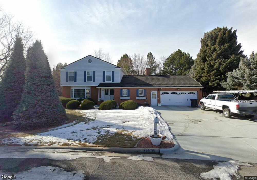
- 1930 Camden Dr
- 1941 Forest Park Dr
- 1841 Arcadia Dr
- 1933 Forest Park Dr
- 1835 Arcadia Dr
- 1923 Forest Park Dr
- 1922 Camden Dr
- 2005 Forest Park Dr
- 1911 Forest Park Dr
- 1903 Forest Park Dr
- 1927 Camden Dr
- 1914 Camden Dr
- 1942 Forest Park Dr
- 1829 Arcadia Dr
- 2004 Forest Park Dr
- 1919 Camden Dr
- 2011 Forest Park Dr
- 1847 Forest Park Dr
- 1838 Arcadia Dr
- 1903 Northridge Cir