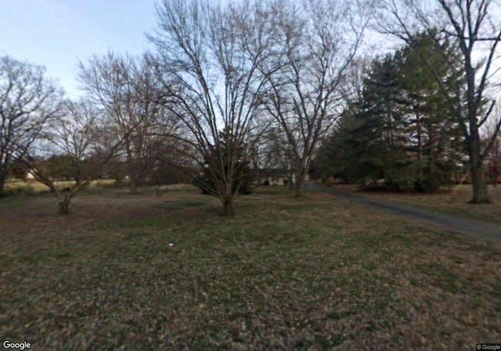
1939 Dilton Mankin Rd Murfreesboro, TN 37127
Estimated Value: $386,138 - $484,000
--
Bed
2
Baths
1,793
Sq Ft
$244/Sq Ft
Est. Value
About This Home
This home is located at 1939 Dilton Mankin Rd, Murfreesboro, TN 37127 and is currently estimated at $437,785, approximately $244 per square foot. 1939 Dilton Mankin Rd is a home located in Rutherford County with nearby schools including Buchanan Elementary School, Whitworth-Buchanan Middle School, and Riverdale High School.
Ownership History
Date
Name
Owned For
Owner Type
Purchase Details
Closed on
Sep 22, 2018
Sold by
Tyalor Paul A and Tyalor Barbara
Bought by
Taylor Paul A
Current Estimated Value
Home Financials for this Owner
Home Financials are based on the most recent Mortgage that was taken out on this home.
Original Mortgage
$185,286
Outstanding Balance
$160,790
Interest Rate
4.37%
Mortgage Type
FHA
Estimated Equity
$276,995
Purchase Details
Closed on
Aug 7, 2002
Sold by
Hamby Joe E and Hamby Kathi E
Bought by
Taylor Paul A
Home Financials for this Owner
Home Financials are based on the most recent Mortgage that was taken out on this home.
Original Mortgage
$150,242
Interest Rate
6.52%
Create a Home Valuation Report for This Property
The Home Valuation Report is an in-depth analysis detailing your home's value as well as a comparison with similar homes in the area
Home Values in the Area
Average Home Value in this Area
Purchase History
| Date | Buyer | Sale Price | Title Company |
|---|---|---|---|
| Taylor Paul A | -- | None Available | |
| Taylor Paul A | $152,600 | -- |
Source: Public Records
Mortgage History
| Date | Status | Borrower | Loan Amount |
|---|---|---|---|
| Open | Taylor Paul A | $185,286 | |
| Closed | Taylor Paul A | $150,242 |
Source: Public Records
Tax History Compared to Growth
Tax History
| Year | Tax Paid | Tax Assessment Tax Assessment Total Assessment is a certain percentage of the fair market value that is determined by local assessors to be the total taxable value of land and additions on the property. | Land | Improvement |
|---|---|---|---|---|
| 2025 | $1,479 | $78,825 | $24,150 | $54,675 |
| 2024 | $1,479 | $78,825 | $24,150 | $54,675 |
| 2023 | $1,479 | $78,825 | $24,150 | $54,675 |
| 2022 | $1,274 | $78,825 | $24,150 | $54,675 |
| 2021 | $1,211 | $54,575 | $15,275 | $39,300 |
| 2020 | $1,211 | $54,575 | $15,275 | $39,300 |
| 2019 | $1,211 | $54,575 | $15,275 | $39,300 |
Source: Public Records
Map
Nearby Homes
- 1805 Dilton Mankin Rd
- 4282 Lytle Creek Dr
- 4316 Singleton Dr
- 0 Wilson Overall Rd
- 110 Inglewood Ct
- 2648 Wilson Overall Rd
- 2627 Galahad Dr
- 223 Homewood Dr
- 3525 Quintana Dr
- 3521 Quintana Dr
- 3513 Quintana Dr
- 3710 Bradyville Pike
- 3463 Quintana Dr
- 3026 Dilton Mankin Rd
- 3401 Howard Rd
- 3451 Quintana Dr
- 3435 Quintana Dr
- 4873 Bradyville Pike
- 1222 Euclid
- 1209 Euclid
- 2003 Dilton Mankin Rd
- 1921 Dilton Mankin Rd
- 2009 Dilton Mankin Rd
- 4406 Meadowland Dr
- 4412 Meadowland Dr
- 4402 Meadowland Dr
- 1932 Dilton Mankin Rd
- 4416 Meadowland Dr
- 2015 Dilton Mankin Rd
- 4422 Meadowland Dr
- 1912 Dilton Mankin Rd
- 1881 Dilton Mankin Rd
- 2021 Dilton Mankin Rd
- 4411 Meadowland Dr
- 4352 Meadowland Dr
- 0 Meadowland Dr
- 4421 Meadowland Dr
- 4432 Meadowland Dr
- 1851 Dilton Mankin Rd
- 4346 Meadowland Dr
