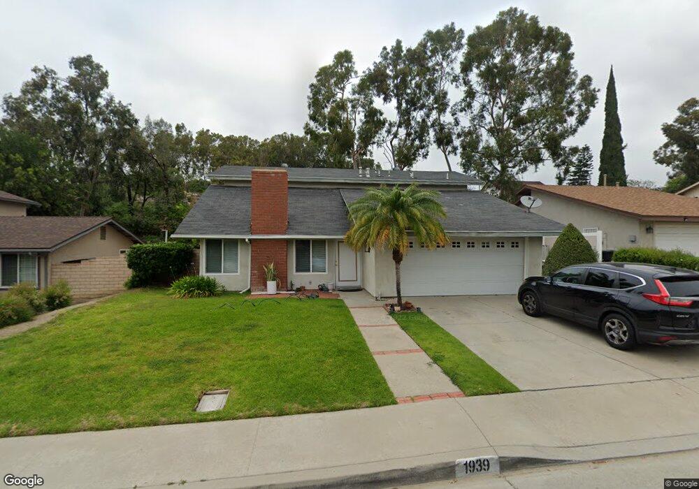
1939 Hendee St West Covina, CA 91792
Woodside NeighborhoodEstimated Value: $923,000 - $999,000
4
Beds
3
Baths
2,001
Sq Ft
$472/Sq Ft
Est. Value
About This Home
This home is located at 1939 Hendee St, West Covina, CA 91792 and is currently estimated at $943,822, approximately $471 per square foot. 1939 Hendee St is a home located in Los Angeles County with nearby schools including Villacorta Elementary School, Giano Intermediate School, and Nogales High School.
Ownership History
Date
Name
Owned For
Owner Type
Purchase Details
Closed on
Aug 14, 2003
Sold by
Melendez Ronald and Melendez Pamela K
Bought by
Flores Javier
Current Estimated Value
Home Financials for this Owner
Home Financials are based on the most recent Mortgage that was taken out on this home.
Original Mortgage
$342,000
Outstanding Balance
$165,481
Interest Rate
6.99%
Mortgage Type
Purchase Money Mortgage
Estimated Equity
$778,341
Create a Home Valuation Report for This Property
The Home Valuation Report is an in-depth analysis detailing your home's value as well as a comparison with similar homes in the area
Home Values in the Area
Average Home Value in this Area
Purchase History
| Date | Buyer | Sale Price | Title Company |
|---|---|---|---|
| Flores Javier | $380,000 | Orange Coast Title Company |
Source: Public Records
Mortgage History
| Date | Status | Borrower | Loan Amount |
|---|---|---|---|
| Open | Flores Javier | $342,000 |
Source: Public Records
Tax History Compared to Growth
Tax History
| Year | Tax Paid | Tax Assessment Tax Assessment Total Assessment is a certain percentage of the fair market value that is determined by local assessors to be the total taxable value of land and additions on the property. | Land | Improvement |
|---|---|---|---|---|
| 2025 | $7,493 | $540,261 | $309,801 | $230,460 |
| 2024 | $7,493 | $529,669 | $303,727 | $225,942 |
| 2023 | $7,249 | $519,284 | $297,772 | $221,512 |
| 2022 | $7,094 | $509,103 | $291,934 | $217,169 |
| 2021 | $6,971 | $499,121 | $286,210 | $212,911 |
| 2019 | $6,755 | $484,319 | $277,722 | $206,597 |
| 2018 | $6,476 | $474,824 | $272,277 | $202,547 |
| 2016 | $6,204 | $456,388 | $261,705 | $194,683 |
| 2015 | $6,113 | $449,533 | $257,774 | $191,759 |
| 2014 | $5,490 | $394,000 | $226,000 | $168,000 |
Source: Public Records
Map
Nearby Homes
- 1902 Viola Ct
- 3724 Colorado St
- 17350 E Temple Ave Unit 52
- 17350 E Temple Ave Unit 270
- 17350 E Temple Ave Unit 84
- 17350 Temple Ave Unit 320
- 17350 Temple Ave Unit 383
- 17350 Temple Ave Unit 128
- 17350 Temple Ave Unit 81
- 232 N Winton Ave
- 830 Francesca Dr
- 18311 Lanaca St
- 332 Palamos Ave
- 3125 Frieda St
- 2600 Paseo Olivas
- 1721 Glenridge Cir
- 261 Zenith Ave
- 1727 E Natalie Ave
- 2426 S Nancy St
- 735 Francesca Dr Unit 202
- 1935 Hendee St
- 1943 Hendee St
- 1931 Hendee St
- 1947 Hendee St
- 1940 Hendee St
- 1936 Hendee St
- 1944 Hendee St
- 2829 Greenleaf Dr
- 1932 Hendee St
- 2826 Greenleaf Dr
- 2825 Greenleaf Dr
- 3000 Greenleaf St
- 1927 Hendee St
- 1928 Hendee St
- 3011 Greenleaf St
- 3004 Greenleaf St
- 3002 Helen Ln
- 2822 Greenleaf Dr
- 3008 Greenleaf St
- 1924 Hendee St