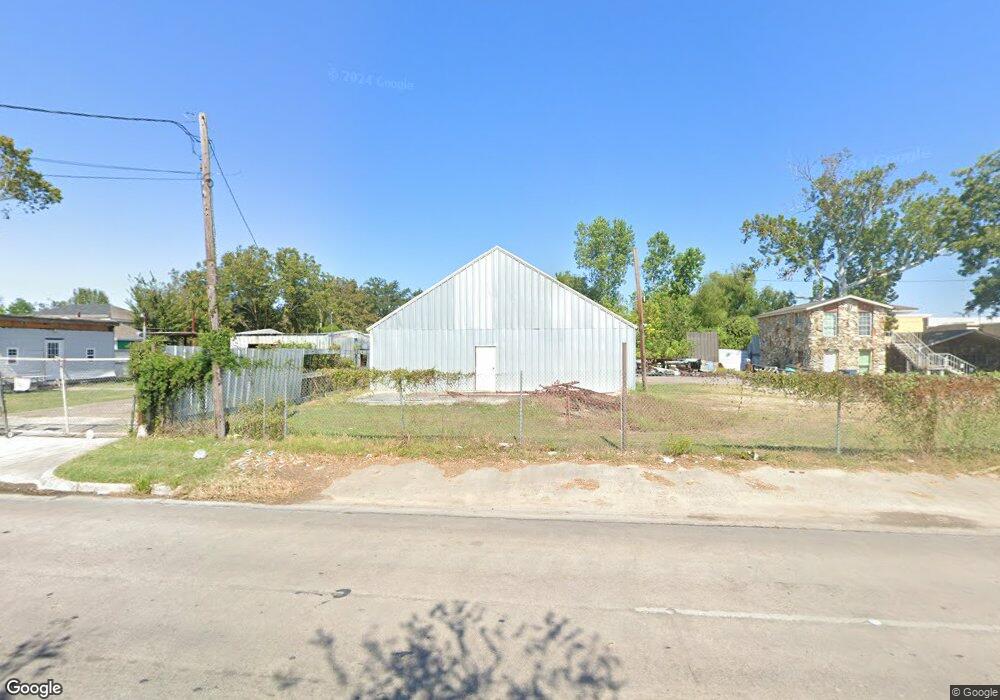
1939 Hopper Rd Houston, TX 77093
Estimated Value: $594,000
--
Bed
2
Baths
5,128
Sq Ft
$116/Sq Ft
Est. Value
About This Home
This home is located at 1939 Hopper Rd, Houston, TX 77093 and is currently priced at $594,000, approximately $115 per square foot. 1939 Hopper Rd is a home located in Harris County with nearby schools including Barrick Elementary School, Patrick Henry Middle School, and Sam Houston Math, Science & Technology Center.
Ownership History
Date
Name
Owned For
Owner Type
Purchase Details
Closed on
May 11, 2018
Sold by
Thomas Edward Koehl
Bought by
Martinez Adrian and Martinez Hermila
Current Estimated Value
Home Financials for this Owner
Home Financials are based on the most recent Mortgage that was taken out on this home.
Original Mortgage
$187,900
Outstanding Balance
$162,344
Interest Rate
4.55%
Purchase Details
Closed on
Mar 5, 2018
Sold by
Stewart Deborah Kay
Bought by
Salazar Martinez Adrian R and Salazar Martinez Hermila
Purchase Details
Closed on
Jan 21, 1994
Sold by
Ladd Deborah Kay Koehl
Bought by
Koehl Thomas Edward
Create a Home Valuation Report for This Property
The Home Valuation Report is an in-depth analysis detailing your home's value as well as a comparison with similar homes in the area
Home Values in the Area
Average Home Value in this Area
Purchase History
| Date | Buyer | Sale Price | Title Company |
|---|---|---|---|
| Martinez Adrian | -- | -- | |
| Salazar Martinez Adrian R | -- | Patriot Title | |
| Koehl Thomas Edward | -- | -- |
Source: Public Records
Mortgage History
| Date | Status | Borrower | Loan Amount |
|---|---|---|---|
| Open | Martinez Adrian | $187,900 | |
| Closed | Martinez Adrian | -- |
Source: Public Records
Tax History Compared to Growth
Tax History
| Year | Tax Paid | Tax Assessment Tax Assessment Total Assessment is a certain percentage of the fair market value that is determined by local assessors to be the total taxable value of land and additions on the property. | Land | Improvement |
|---|---|---|---|---|
| 2022 | $3,968 | $213,388 | $75,376 | $138,012 |
| 2021 | $3,210 | $162,592 | $75,376 | $87,216 |
| 2020 | $3,678 | $180,769 | $75,364 | $105,405 |
| 2019 | $3,646 | $177,553 | $75,364 | $102,189 |
| 2018 | $3,710 | $173,178 | $56,523 | $116,655 |
| 2017 | $3,006 | $140,330 | $56,523 | $83,807 |
| 2016 | $3,036 | $135,406 | $51,813 | $83,593 |
| 2015 | -- | $130,000 | $51,813 | $78,187 |
| 2014 | -- | $128,372 | $51,813 | $76,559 |
Source: Public Records
Map
Nearby Homes
- 2131 Warwick Rd
- 2123 Warwick Rd
- 1925 Sunny Dr
- 2131 Cromwell St Unit D
- 1930 Cromwell St
- 1703 & 0 Sunny Dr
- 2306 Wardmont St
- 2326 Sunny Dr
- 2237 Cromwell St
- 2152 William Tell St
- 2122 Kowis St
- 1802 Kowis St
- 2311 Warwick Rd
- 1508 Hopper Rd Unit 1
- 11746 Somerset Ln
- 11716 Innsbury Dr
- 11110 E Hardy Rd
- 1908 Little York Rd
- 2410 Mierianne St
- 10022 E Hardy Rd
- 11210 Rusty St
- 1921 Hopper Rd
- 11216 Rusty St
- 11216 Rusty St Unit 1
- 1934 Hopper Rd
- 1928 Hopper Rd
- 2002 Hopper Rd
- 11218 Rusty St
- 1924 Hopper Rd
- 2006 Hopper Rd
- 1917 Hopper Rd
- 11222 Rusty St
- 1930 Norlinda St
- 1920 Hopper Rd
- 2001 Warwick Rd
- 1929 Warwick Rd
- 1913 Hopper Rd
- 1933 Norlinda St
- 1916 Hopper Rd
- 1926 Norlinda St