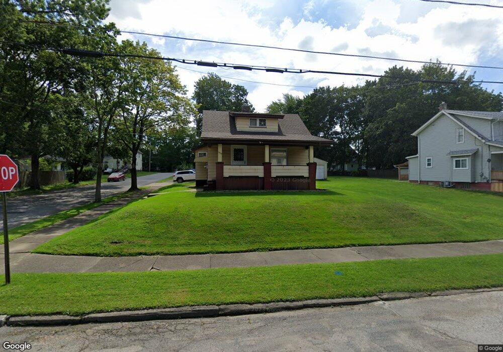
1939 Pointview Ave Youngstown, OH 44502
Buckeye Plat NeighborhoodEstimated Value: $64,000 - $85,000
2
Beds
2
Baths
1,328
Sq Ft
$53/Sq Ft
Est. Value
About This Home
This home is located at 1939 Pointview Ave, Youngstown, OH 44502 and is currently estimated at $70,001, approximately $52 per square foot. 1939 Pointview Ave is a home located in Mahoning County with nearby schools including Paul C. Bunn Elementary School, Chaney High School, and Summit Academy Secondary School - Youngstown.
Ownership History
Date
Name
Owned For
Owner Type
Purchase Details
Closed on
Mar 6, 2017
Sold by
Mahoning County Land Reutilization Corpo and Yemma Daniel R
Bought by
Fabian James J
Current Estimated Value
Purchase Details
Closed on
Jul 27, 1999
Sold by
Greprich Mary H
Bought by
Fabian James J
Purchase Details
Closed on
Nov 4, 1993
Sold by
Higgins Stephen J and C M
Bought by
Higgins Stephen J and C M
Create a Home Valuation Report for This Property
The Home Valuation Report is an in-depth analysis detailing your home's value as well as a comparison with similar homes in the area
Home Values in the Area
Average Home Value in this Area
Purchase History
| Date | Buyer | Sale Price | Title Company |
|---|---|---|---|
| Fabian James J | -- | None Available | |
| Fabian James J | $36,000 | -- | |
| Higgins Stephen J | $36,000 | -- |
Source: Public Records
Tax History Compared to Growth
Tax History
| Year | Tax Paid | Tax Assessment Tax Assessment Total Assessment is a certain percentage of the fair market value that is determined by local assessors to be the total taxable value of land and additions on the property. | Land | Improvement |
|---|---|---|---|---|
| 2024 | $578 | $11,800 | $1,070 | $10,730 |
| 2023 | $574 | $11,800 | $1,070 | $10,730 |
| 2022 | $415 | $6,550 | $1,070 | $5,480 |
| 2021 | $415 | $6,550 | $1,070 | $5,480 |
| 2020 | $417 | $6,550 | $1,070 | $5,480 |
| 2019 | $424 | $5,950 | $970 | $4,980 |
| 2018 | $429 | $5,950 | $970 | $4,980 |
| 2017 | $426 | $5,950 | $970 | $4,980 |
| 2016 | $589 | $8,870 | $970 | $7,900 |
| 2015 | $577 | $8,870 | $970 | $7,900 |
| 2014 | $557 | $8,870 | $970 | $7,900 |
| 2013 | $550 | $8,870 | $970 | $7,900 |
Source: Public Records
Map
Nearby Homes
- 2016 Pointview Ave
- 2007 E Midlothian Blvd
- 1954 Everett Ave
- 3509 Lenox Ave
- 0 Crescent Dr Unit 5124984
- 0 Weston Ave
- 1928 Medford Ave
- 3448 Neilson Ave
- 2001 Brownlee Ave
- 2510 E Midlothian Blvd
- 3337 Powers Way
- 1653 Brownlee Ave
- 1654 Wakefield Ave
- 2562 Mount Vernon Ave
- 1633 Wakefield Ave
- 3551 Shirley Rd
- 2577 E Midlothian Blvd
- 4528 Sheridan Rd
- 3222 Sheridan Rd
- 1560 Wakefield Ave
- 1937 Pointview Ave
- 1931 Pointview Ave
- 2005 Pointview Ave
- 1927 Pointview Ave
- 3701 Irma St
- 2009 Pointview Ave
- 1950 S Heights Ave
- 1946 S Heights Ave
- 1921 Pointview Ave
- 1940 S Heights Ave
- 2002 S Heights Ave
- 2015 Pointview Ave
- 2004 Pointview Ave
- 1917 Pointview Ave
- 1936 Pointview Ave
- 1934 S Heights Ave
- 2004 S Heights Ave
- 1932 Pointview Ave
- 2019 Pointview Ave
- 1924 Pointview Ave