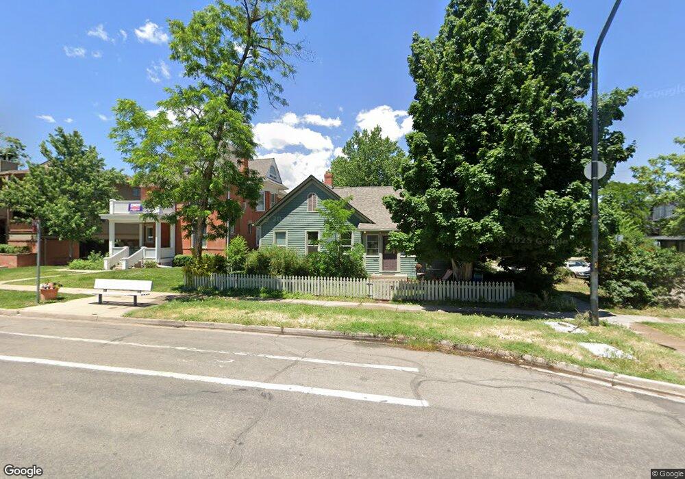
1939 Walnut St Boulder, CO 80302
Whittier NeighborhoodEstimated Value: $916,000 - $1,106,000
2
Beds
1
Bath
1,194
Sq Ft
$842/Sq Ft
Est. Value
About This Home
This home is located at 1939 Walnut St, Boulder, CO 80302 and is currently estimated at $1,005,413, approximately $842 per square foot. 1939 Walnut St is a home located in Boulder County with nearby schools including Whittier Elementary School, Casey Middle School, and Boulder High School.
Ownership History
Date
Name
Owned For
Owner Type
Purchase Details
Closed on
Jun 6, 2002
Sold by
Wolff John Kendall and Lyon John Thomas
Bought by
Building Blocks A Llc
Current Estimated Value
Purchase Details
Closed on
May 28, 1991
Bought by
Building Block A Llc
Purchase Details
Closed on
Feb 26, 1991
Bought by
Building Block A Llc
Purchase Details
Closed on
Apr 5, 1977
Bought by
Building Block A Llc
Purchase Details
Closed on
Feb 13, 1975
Bought by
Building Block A Llc
Create a Home Valuation Report for This Property
The Home Valuation Report is an in-depth analysis detailing your home's value as well as a comparison with similar homes in the area
Home Values in the Area
Average Home Value in this Area
Purchase History
| Date | Buyer | Sale Price | Title Company |
|---|---|---|---|
| Building Blocks A Llc | -- | -- | |
| Building Block A Llc | -- | -- | |
| Building Block A Llc | $103,500 | -- | |
| Building Block A Llc | $55,000 | -- | |
| Building Block A Llc | $35,000 | -- |
Source: Public Records
Tax History
| Year | Tax Paid | Tax Assessment Tax Assessment Total Assessment is a certain percentage of the fair market value that is determined by local assessors to be the total taxable value of land and additions on the property. | Land | Improvement |
|---|---|---|---|---|
| 2025 | $6,055 | $62,219 | $41,313 | $20,906 |
| 2024 | $6,055 | $62,219 | $41,313 | $20,906 |
| 2023 | $5,947 | $67,998 | $48,850 | $22,834 |
| 2022 | $5,079 | $53,890 | $36,557 | $17,333 |
| 2021 | $4,847 | $55,441 | $37,609 | $17,832 |
| 2020 | $4,414 | $50,715 | $35,321 | $15,394 |
| 2019 | $4,347 | $50,715 | $35,321 | $15,394 |
| 2018 | $3,340 | $38,520 | $25,920 | $12,600 |
| 2017 | $3,235 | $51,604 | $28,576 | $23,028 |
| 2016 | $3,528 | $40,755 | $26,029 | $14,726 |
| 2015 | $3,341 | $36,051 | $18,388 | $17,663 |
| 2014 | $3,031 | $36,051 | $18,388 | $17,663 |
Source: Public Records
Map
Nearby Homes
- 1843 Walnut St Unit B
- 1837 Walnut St Unit E
- 1945 Canyon Blvd
- 1842 Canyon Blvd Unit 105
- 1842 Canyon Blvd Unit 202
- 1707 Walnut St Unit 203
- 1707 Walnut St Unit 307
- 1707 Walnut St Unit 208
- 1707 Walnut St Unit 308
- 1707 Walnut St Unit 209
- 1707 Walnut St Unit 101
- 1707 Walnut St Unit 103
- 1707 Walnut St Unit 207
- 1707 Walnut St Unit 206
- 1707 Walnut St Unit 202
- 1938 Spruce St
- 1815 17th St
- 2155 Walnut St
- 1629 17th St Unit A
- 1902 Grove St
- 1943 20th St
- 1929 Walnut St
- 1957 20th St
- 1921 Walnut St
- 2003 Walnut St
- 1932 Pearl St Unit A
- 1932 Pearl St Unit B
- 1922 20th St
- 1920 19th St
- 2013 Walnut St
- 1938 Pearl St Unit 204
- 1938 Pearl St Unit 203
- 1938 Pearl St Unit 202
- 1938 Pearl St Unit 201
- 2021 Walnut St Unit 1
- 1918 Pearl St Unit A7
- 1918 Pearl St
- 1918 Pearl St Unit A-200
- 1918 Pearl St Unit 202
- 1918 Pearl St Unit 201
Your Personal Tour Guide
Ask me questions while you tour the home.