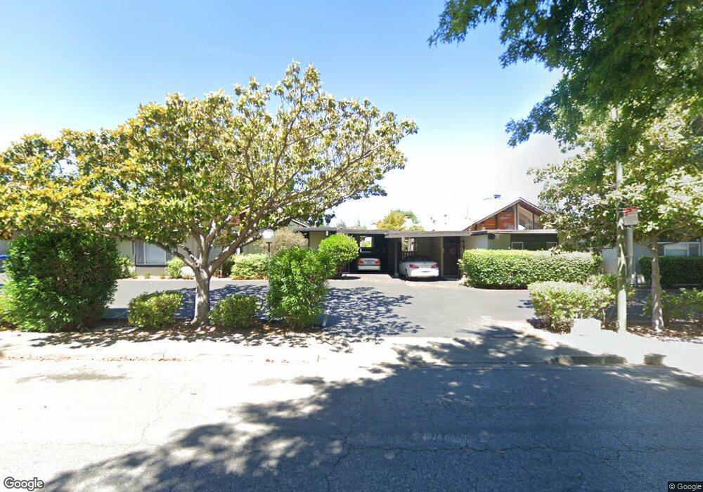
194 Ada Ave Mountain View, CA 94043
Whisman NeighborhoodEstimated Value: $799,578 - $1,249,000
2
Beds
2
Baths
992
Sq Ft
$1,055/Sq Ft
Est. Value
About This Home
This home is located at 194 Ada Ave, Mountain View, CA 94043 and is currently estimated at $1,046,395, approximately $1,054 per square foot. 194 Ada Ave is a home located in Santa Clara County with nearby schools including Edith Landels Elementary School, Crittenden Middle School, and Mountain View High School.
Ownership History
Date
Name
Owned For
Owner Type
Purchase Details
Closed on
Mar 23, 2009
Sold by
Warren Karen E and Warren Robert
Bought by
Vallejos Flora
Current Estimated Value
Purchase Details
Closed on
May 3, 1995
Sold by
Roberts Carl P and Roberts Cherryl D
Bought by
Warren Robert and Warren Karen E
Home Financials for this Owner
Home Financials are based on the most recent Mortgage that was taken out on this home.
Original Mortgage
$155,503
Interest Rate
8.51%
Mortgage Type
FHA
Create a Home Valuation Report for This Property
The Home Valuation Report is an in-depth analysis detailing your home's value as well as a comparison with similar homes in the area
Home Values in the Area
Average Home Value in this Area
Purchase History
| Date | Buyer | Sale Price | Title Company |
|---|---|---|---|
| Vallejos Flora | $392,000 | Chicago Title Company | |
| Warren Robert | $162,000 | First American Title Guarant |
Source: Public Records
Mortgage History
| Date | Status | Borrower | Loan Amount |
|---|---|---|---|
| Previous Owner | Warren Robert | $155,503 |
Source: Public Records
Tax History
| Year | Tax Paid | Tax Assessment Tax Assessment Total Assessment is a certain percentage of the fair market value that is determined by local assessors to be the total taxable value of land and additions on the property. | Land | Improvement |
|---|---|---|---|---|
| 2025 | $5,927 | $504,788 | $403,835 | $100,953 |
| 2024 | $5,927 | $494,891 | $395,917 | $98,974 |
| 2023 | $5,866 | $485,188 | $388,154 | $97,034 |
| 2022 | $5,848 | $475,676 | $380,544 | $95,132 |
| 2021 | $5,707 | $466,350 | $373,083 | $93,267 |
| 2020 | $5,714 | $461,569 | $369,258 | $92,311 |
| 2019 | $5,478 | $452,519 | $362,018 | $90,501 |
| 2018 | $5,428 | $443,647 | $354,920 | $88,727 |
| 2017 | $5,209 | $434,949 | $347,961 | $86,988 |
| 2016 | $5,017 | $426,422 | $341,139 | $85,283 |
| 2015 | $4,875 | $420,017 | $336,015 | $84,002 |
| 2014 | $4,831 | $411,790 | $329,433 | $82,357 |
Source: Public Records
Map
Nearby Homes
- 227 Ada Ave Unit B
- 201 Ada Ave Unit 25
- 119 Easy St Unit 7
- 181 Ada Ave Unit 50
- 136 Avellino Way
- 201 Flynn Ave Unit 16
- 201 Flynn Ave Unit 13
- 120 Orchard Ave
- 217 Athena Ct
- 159 Irene Ct
- 500 W Middlefield Rd Unit 121
- 500 W Middlefield Rd Unit 41
- 500 W Middlefield Rd Unit 122
- 500 W Middlefield Rd Unit 20
- 365 Shelby Dr
- 205 Houghton St
- 171 Bel Air Ct
- 189 Bedford Loop Unit 82
- 440 Moffett Blvd Unit 86
- 38 Devonshire Ave Unit 6
Your Personal Tour Guide
Ask me questions while you tour the home.