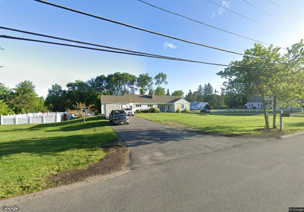
194 Marsh Hill Rd Dracut, MA 01826
Estimated Value: $662,128 - $764,000
3
Beds
2
Baths
1,837
Sq Ft
$385/Sq Ft
Est. Value
About This Home
This home is located at 194 Marsh Hill Rd, Dracut, MA 01826 and is currently estimated at $707,532, approximately $385 per square foot. 194 Marsh Hill Rd is a home located in Middlesex County with nearby schools including Greenmont Avenue School, Richardson Middle School, and Dracut Senior High School.
Ownership History
Date
Name
Owned For
Owner Type
Purchase Details
Closed on
Nov 4, 1994
Sold by
Mcnamara James F and Mcnamara Mary L
Bought by
Burgess David M and Burgess Andrea
Current Estimated Value
Home Financials for this Owner
Home Financials are based on the most recent Mortgage that was taken out on this home.
Original Mortgage
$15,000
Interest Rate
8.71%
Mortgage Type
Purchase Money Mortgage
Create a Home Valuation Report for This Property
The Home Valuation Report is an in-depth analysis detailing your home's value as well as a comparison with similar homes in the area
Home Values in the Area
Average Home Value in this Area
Purchase History
| Date | Buyer | Sale Price | Title Company |
|---|---|---|---|
| Burgess David M | $160,000 | -- |
Source: Public Records
Mortgage History
| Date | Status | Borrower | Loan Amount |
|---|---|---|---|
| Open | Burgess David M | $199,500 | |
| Closed | Burgess David M | $34,000 | |
| Closed | Burgess David M | $168,000 | |
| Closed | Burgess David M | $15,000 |
Source: Public Records
Tax History Compared to Growth
Tax History
| Year | Tax Paid | Tax Assessment Tax Assessment Total Assessment is a certain percentage of the fair market value that is determined by local assessors to be the total taxable value of land and additions on the property. | Land | Improvement |
|---|---|---|---|---|
| 2025 | $6,803 | $672,200 | $232,500 | $439,700 |
| 2024 | $7,027 | $672,400 | $221,600 | $450,800 |
| 2023 | $6,743 | $582,300 | $192,800 | $389,500 |
| 2022 | $6,756 | $549,700 | $175,400 | $374,300 |
| 2021 | $6,535 | $502,300 | $159,300 | $343,000 |
| 2020 | $6,253 | $468,400 | $154,500 | $313,900 |
| 2019 | $6,095 | $443,300 | $147,100 | $296,200 |
| 2018 | $5,621 | $397,500 | $147,100 | $250,400 |
| 2017 | $5,401 | $397,500 | $147,100 | $250,400 |
| 2016 | $5,166 | $348,100 | $141,400 | $206,700 |
| 2015 | $4,979 | $333,500 | $141,400 | $192,100 |
| 2014 | $4,714 | $325,300 | $141,400 | $183,900 |
Source: Public Records
Map
Nearby Homes
- 67 Lincoln Ln
- 321 Old Marsh Hill Rd
- 19 Esther Way Unit Lot 10
- 20 Esther Way Unit 11
- 109 Meadow Creek Dr
- 167 Betty Ann Ln
- 121 Old Marsh Hill Rd
- 26 Frank St
- 2 Iris Ave
- 67 Foxhill Ln Unit 67
- 315 Broadway Rd Unit 7
- 241 Broadway Rd Unit 50
- 4 Melody Ln
- 1572 Bridge St
- 50 Stephen Ave
- 999 Hildreth St
- 190 Old Rd
- 174 Old Rd
- 81 Spring Park Ave
- 157 Old Rd
- 180 Marsh Hill Rd
- 5 Surrey Ln
- 193 Marsh Hill Rd
- 183 Marsh Hill Rd
- 31 Butternut Rd
- 205 Marsh Hill Rd
- 29 Butternut Rd
- 215 Marsh Hill Rd
- 21 Butternut Rd
- 0 Marsh Hill Rd Lot 170
- 11 Lincoln Ln
- 18 Lincoln Ln
- 230 Marsh Hill Rd
- 15 Surrey Ln
- 22 Butternut Rd
- 19 Lincoln Ln
- 160 Marsh Hill Rd
- 13 Butternut Rd
- 15 Butternut Rd
- 26 Lincoln Ln