194 Middlesex Ave Thorofare, NJ 08086
West Deptford Township NeighborhoodEstimated Value: $278,011 - $324,000
--
Bed
--
Bath
1,274
Sq Ft
$241/Sq Ft
Est. Value
About This Home
This home is located at 194 Middlesex Ave, Thorofare, NJ 08086 and is currently estimated at $307,253, approximately $241 per square foot. 194 Middlesex Ave is a home located in Gloucester County with nearby schools including Red Bank Elementary School, Oakview Elementary School, and Green-Fields Elementary School.
Ownership History
Date
Name
Owned For
Owner Type
Purchase Details
Closed on
Nov 8, 2019
Sold by
Mills Jessica R and Estate Of Gwendolyn A Mills
Bought by
Mills Jessica R
Current Estimated Value
Purchase Details
Closed on
Mar 1, 1978
Bought by
Mills Gwendolyn
Create a Home Valuation Report for This Property
The Home Valuation Report is an in-depth analysis detailing your home's value as well as a comparison with similar homes in the area
Home Values in the Area
Average Home Value in this Area
Purchase History
| Date | Buyer | Sale Price | Title Company |
|---|---|---|---|
| Mills Jessica R | -- | None Available | |
| Mills Gwendolyn | -- | -- |
Source: Public Records
Tax History Compared to Growth
Tax History
| Year | Tax Paid | Tax Assessment Tax Assessment Total Assessment is a certain percentage of the fair market value that is determined by local assessors to be the total taxable value of land and additions on the property. | Land | Improvement |
|---|---|---|---|---|
| 2025 | $6,251 | $179,000 | $58,200 | $120,800 |
| 2024 | $6,170 | $179,000 | $58,200 | $120,800 |
| 2023 | $6,170 | $179,000 | $58,200 | $120,800 |
| 2022 | $6,141 | $179,000 | $58,200 | $120,800 |
| 2021 | $5,936 | $179,000 | $58,200 | $120,800 |
| 2020 | $6,106 | $179,000 | $58,200 | $120,800 |
| 2019 | $5,936 | $179,000 | $58,200 | $120,800 |
| 2018 | $5,775 | $179,000 | $58,200 | $120,800 |
| 2017 | $5,640 | $179,000 | $58,200 | $120,800 |
| 2016 | $5,483 | $179,000 | $58,200 | $120,800 |
| 2015 | $5,223 | $179,000 | $58,200 | $120,800 |
| 2014 | $4,964 | $179,000 | $58,200 | $120,800 |
Source: Public Records
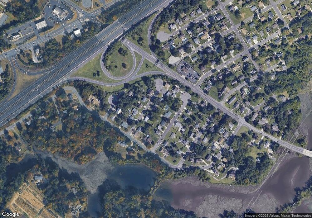
Map
Nearby Homes
- 266 Passaic Ave
- 121 Cape May Ave
- 107 Audubon Ave
- 10 Kennedy Ct
- 64 Tilden Rd
- 439 Crown Point Rd
- 433 Crown Point Rd
- 400 Audubon Ave
- 124 Brent Ct
- 67 Pelican Place
- 47 Pelican Place Unit 47
- 1810 Fernwood Dr
- 112 N Drexel St
- 1311 Barnesdale Rd
- 4 Saint Emilion Ct
- 558 Prince St
- 97 Church St
- 344 S Girard St
- 740 Carter Hill Dr
- 21 S Columbia St
- 196 Middlesex Ave
- 193 Roosevelt Blvd
- 191 Roosevelt Blvd
- 193 Middlesex Ave
- 195 Roosevelt Ct
- 195 Middlesex Ave
- 195 Roosevelt Blvd
- 191 Middlesex Ave
- 189 Roosevelt Blvd
- 198 Middlesex Ave
- 197 Roosevelt Blvd
- 190 Middlesex Ave
- 197 Roosevelt Ct
- 187 Roosevelt Blvd
- 198 Middlesex Ave
- 189 Middlesex Ave
- 188 Middlesex Ave
- 187 Middlesex Ave
- 192 Monmouth Ave
- 192 Monmouth Ave