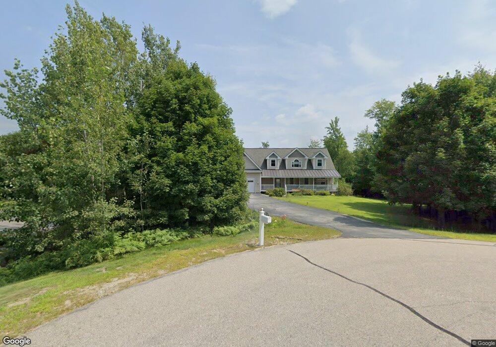
194 Sargent Rd Center Conway, NH 03813
Estimated Value: $726,908 - $913,000
4
Beds
4
Baths
3,860
Sq Ft
$209/Sq Ft
Est. Value
About This Home
This home is located at 194 Sargent Rd, Center Conway, NH 03813 and is currently estimated at $807,727, approximately $209 per square foot. 194 Sargent Rd is a home located in Carroll County with nearby schools including A. Crosby Kennett Middle School, Kennett High School, and Robert Frost Charter School.
Ownership History
Date
Name
Owned For
Owner Type
Purchase Details
Closed on
Jul 27, 2015
Sold by
Kimball Dwight and Kimball Christine E
Bought by
Patel Sejal A and Patel Smeeta S
Current Estimated Value
Home Financials for this Owner
Home Financials are based on the most recent Mortgage that was taken out on this home.
Original Mortgage
$264,000
Outstanding Balance
$104,480
Interest Rate
4.01%
Mortgage Type
New Conventional
Estimated Equity
$703,247
Create a Home Valuation Report for This Property
The Home Valuation Report is an in-depth analysis detailing your home's value as well as a comparison with similar homes in the area
Home Values in the Area
Average Home Value in this Area
Purchase History
| Date | Buyer | Sale Price | Title Company |
|---|---|---|---|
| Patel Sejal A | $330,000 | -- |
Source: Public Records
Mortgage History
| Date | Status | Borrower | Loan Amount |
|---|---|---|---|
| Open | Patel Sejal A | $264,000 |
Source: Public Records
Tax History Compared to Growth
Tax History
| Year | Tax Paid | Tax Assessment Tax Assessment Total Assessment is a certain percentage of the fair market value that is determined by local assessors to be the total taxable value of land and additions on the property. | Land | Improvement |
|---|---|---|---|---|
| 2024 | $8,912 | $736,500 | $72,200 | $664,300 |
| 2023 | $8,035 | $736,500 | $72,200 | $664,300 |
| 2022 | $7,603 | $421,000 | $72,200 | $348,800 |
| 2021 | $6,879 | $421,000 | $72,200 | $348,800 |
| 2020 | $7,300 | $421,000 | $72,200 | $348,800 |
| 2019 | $7,292 | $421,000 | $72,200 | $348,800 |
| 2018 | $7,307 | $350,100 | $62,200 | $287,900 |
| 2017 | $6,791 | $339,900 | $62,200 | $277,700 |
| 2016 | $6,563 | $339,900 | $62,200 | $277,700 |
| 2015 | $6,489 | $339,900 | $62,200 | $277,700 |
| 2014 | $6,411 | $339,900 | $62,200 | $277,700 |
| 2013 | -- | $350,600 | $67,200 | $283,400 |
Source: Public Records
Map
Nearby Homes
- 00 Stritch Rd Unit 58
- 101 Odell Hill Rd
- 66 Woodland Grove
- 18 Woodland Grove Rd
- 258 Odell Hill Rd
- 19 Saco St Unit 92
- 19 Saco St Unit 59
- 19 Saco St Unit 58
- 48 Maple Manor Rd
- 108 Maple Manor Rd
- 357 Lamplighters Park
- 00 Tamarack Overlook
- 33 Longbow Dr
- 42 Buckingham Dr
- 196 E Main St Unit 5 (old 103)
- 41 Castle Dr
- 60 Lamplighters Park
- 592 Eaton Rd
- 26 Campfire St
- 237 Eaton Rd
- 190 Sargent Rd
- 179 Sargent Rd
- 174 Sargent Rd
- 10 Nickelback Rd
- 191 Sargent Rd
- 11 Nickelback Rd
- 20 Nickelback Rd
- 155 Sargent Rd
- 154 Sargent Rd Unit 18
- 154 Sargent Rd
- 26 Nickelback Rd
- 145 Sargent Rd
- 146 Sargent Rd
- 47 Nickelback Rd
- Lot #17 Nickleback Rd
- 114 Sargent Rd
- 113 Sargent Rd Unit 6
- 113 Sargent Rd Unit 5
- 113 Sargent Rd Unit 6 & 5
- 106 Sargent Rd