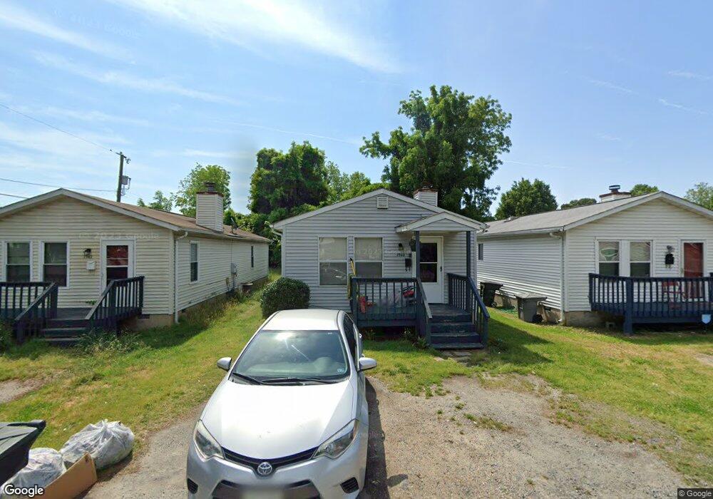
1940 Box St Hampton, VA 23661
Wythe NeighborhoodEstimated Value: $192,000 - $265,000
3
Beds
2
Baths
1,084
Sq Ft
$207/Sq Ft
Est. Value
About This Home
This home is located at 1940 Box St, Hampton, VA 23661 and is currently estimated at $224,773, approximately $207 per square foot. 1940 Box St is a home located in Hampton City with nearby schools including Hunter B. Andrews PK-8 School, C. Alton Lindsay Middle School, and Hampton High School.
Ownership History
Date
Name
Owned For
Owner Type
Purchase Details
Closed on
Jul 28, 2020
Sold by
Saylor Leslie W and Saylor Mary S
Bought by
Saylor Leslie W and Saylor Mary S
Current Estimated Value
Purchase Details
Closed on
Apr 30, 2007
Sold by
Young James F
Bought by
Saylor Leslie W
Home Financials for this Owner
Home Financials are based on the most recent Mortgage that was taken out on this home.
Original Mortgage
$72,000
Outstanding Balance
$43,939
Interest Rate
6.23%
Mortgage Type
New Conventional
Estimated Equity
$180,834
Create a Home Valuation Report for This Property
The Home Valuation Report is an in-depth analysis detailing your home's value as well as a comparison with similar homes in the area
Home Values in the Area
Average Home Value in this Area
Purchase History
| Date | Buyer | Sale Price | Title Company |
|---|---|---|---|
| Saylor Leslie W | -- | None Available | |
| Saylor Leslie W | $90,000 | -- |
Source: Public Records
Mortgage History
| Date | Status | Borrower | Loan Amount |
|---|---|---|---|
| Open | Saylor Leslie W | $72,000 |
Source: Public Records
Tax History
| Year | Tax Paid | Tax Assessment Tax Assessment Total Assessment is a certain percentage of the fair market value that is determined by local assessors to be the total taxable value of land and additions on the property. | Land | Improvement |
|---|---|---|---|---|
| 2025 | $2,205 | $186,800 | $40,500 | $146,300 |
| 2024 | $1,984 | $172,500 | $40,500 | $132,000 |
| 2023 | $1,759 | $151,600 | $40,500 | $111,100 |
| 2022 | $1,461 | $123,800 | $30,000 | $93,800 |
| 2021 | $1,552 | $114,700 | $25,500 | $89,200 |
| 2020 | $1,345 | $108,500 | $24,000 | $84,500 |
| 2019 | $1,131 | $91,200 | $12,100 | $79,100 |
| 2018 | $1,225 | $91,200 | $12,100 | $79,100 |
| 2017 | $1,225 | $0 | $0 | $0 |
| 2016 | $1,225 | $91,200 | $0 | $0 |
| 2015 | $1,225 | $0 | $0 | $0 |
| 2014 | $1,282 | $96,600 | $12,500 | $84,100 |
Source: Public Records
Map
Nearby Homes
- 237 Piedmont Ave
- 142 Clifton St
- 606 Delaware Ave
- 222 Wythe Pkwy
- 1705 Shell Rd
- 138 Robinson Rd
- 332 Catalpa Ave
- 611 Delaware Ave
- 200 Claremont Ave
- 624 Pennsylvania Ave
- 254 Pocahontas Place
- 317 Cottonwood Ave
- 515 Pocahontas Place
- 709 New York Ave
- 119 Wythe Pkwy
- 240 Hollywood Ave
- 390 Cottonwood Ave
- 512 Pocahontas Place
- 614 Rolfe St
- 227 Hollywood Ave
Your Personal Tour Guide
Ask me questions while you tour the home.