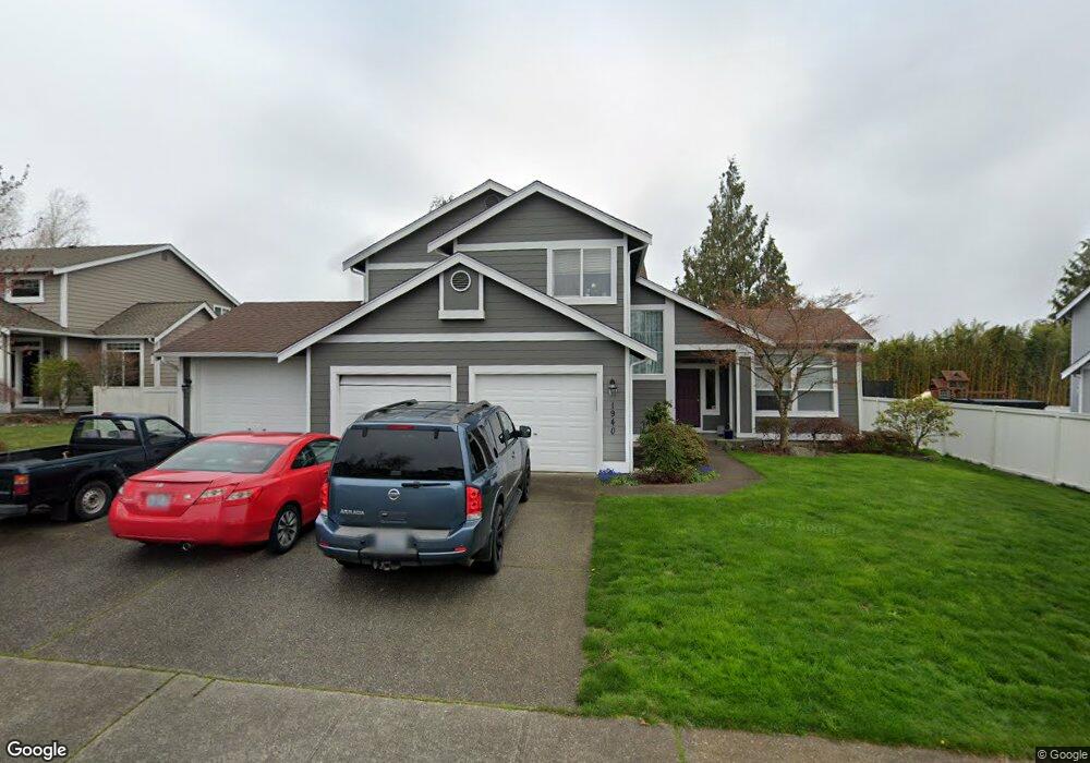
1940 Carbon Ridge St Enumclaw, WA 98022
Estimated Value: $673,000 - $696,000
4
Beds
3
Baths
2,230
Sq Ft
$307/Sq Ft
Est. Value
About This Home
This home is located at 1940 Carbon Ridge St, Enumclaw, WA 98022 and is currently estimated at $684,517, approximately $306 per square foot. 1940 Carbon Ridge St is a home located in King County with nearby schools including Byron Kibler Elementary School, Enumclaw Middle School, and Enumclaw Senior High School.
Ownership History
Date
Name
Owned For
Owner Type
Purchase Details
Closed on
Mar 19, 2003
Sold by
Christenson Brian D and Christenson Marion E
Bought by
Myers Kevin L and Myers Tara K B
Current Estimated Value
Home Financials for this Owner
Home Financials are based on the most recent Mortgage that was taken out on this home.
Original Mortgage
$145,000
Interest Rate
5.79%
Purchase Details
Closed on
Sep 14, 1995
Sold by
The Quadrant Corp
Bought by
Christenson Brian D and Christenson Marion E
Home Financials for this Owner
Home Financials are based on the most recent Mortgage that was taken out on this home.
Original Mortgage
$168,600
Interest Rate
7.88%
Create a Home Valuation Report for This Property
The Home Valuation Report is an in-depth analysis detailing your home's value as well as a comparison with similar homes in the area
Home Values in the Area
Average Home Value in this Area
Purchase History
| Date | Buyer | Sale Price | Title Company |
|---|---|---|---|
| Myers Kevin L | $225,000 | Stewart Title | |
| Christenson Brian D | $177,500 | Stewart Title |
Source: Public Records
Mortgage History
| Date | Status | Borrower | Loan Amount |
|---|---|---|---|
| Closed | Myers Kevin L | $145,000 | |
| Previous Owner | Christenson Brian D | $168,600 |
Source: Public Records
Tax History Compared to Growth
Tax History
| Year | Tax Paid | Tax Assessment Tax Assessment Total Assessment is a certain percentage of the fair market value that is determined by local assessors to be the total taxable value of land and additions on the property. | Land | Improvement |
|---|---|---|---|---|
| 2024 | $5,653 | $589,000 | $212,000 | $377,000 |
| 2023 | $5,237 | $505,000 | $182,000 | $323,000 |
| 2022 | $4,687 | $576,000 | $208,000 | $368,000 |
| 2021 | $4,340 | $467,000 | $180,000 | $287,000 |
| 2020 | $3,959 | $394,000 | $123,000 | $271,000 |
| 2018 | $4,180 | $362,000 | $113,000 | $249,000 |
| 2017 | $3,705 | $341,000 | $103,000 | $238,000 |
| 2016 | $3,643 | $312,000 | $95,000 | $217,000 |
| 2015 | $3,452 | $302,000 | $90,000 | $212,000 |
| 2014 | -- | $274,000 | $91,000 | $183,000 |
| 2013 | -- | $211,000 | $73,000 | $138,000 |
Source: Public Records
Map
Nearby Homes
- 3035 Carbon Ridge St
- 1919 Clovercrest St
- 1903 Clovercrest St
- 1802 Clovercrest St
- 2632 Cascade Ave
- 1720 Garfield St Unit 4
- 2942 Sun Mountain Dr
- 1722 Harding St
- 3005 Edel Ave
- 3195 Roosevelt Ave
- 3189 Roosevelt Ave
- 1486 Division St
- 1165 Harding St
- 1854 Hillcrest Ave
- 2921 Frederickson St
- 3053 Porter St
- 2040 Roosevelt Ave
- 535 Blanchat Ct
- 537 Burger Place
- 2054 Roosevelt Ave
- 1950 Carbon Ridge St
- 1930 Carbon Ridge St
- 1941 Hawk Ct
- 1931 Hawk Ct
- 1951 Hawk Ct
- 1915 Hawk Ct
- 1941 Carbon Ridge St
- 1920 Carbon Ridge St
- 1960 Carbon Ridge St
- 1931 Carbon Ridge St
- 1951 Carbon Ridge St
- 1957 Hawk Ct
- 1921 Carbon Ridge St
- 1961 Carbon Ridge St
- 1910 Carbon Ridge St
- 1940 Hawk Ct
- 1950 Hawk Ct
- 1930 Hawk Ct
- 1847 Carbon Ridge St
- 2910 Carbon Ridge St