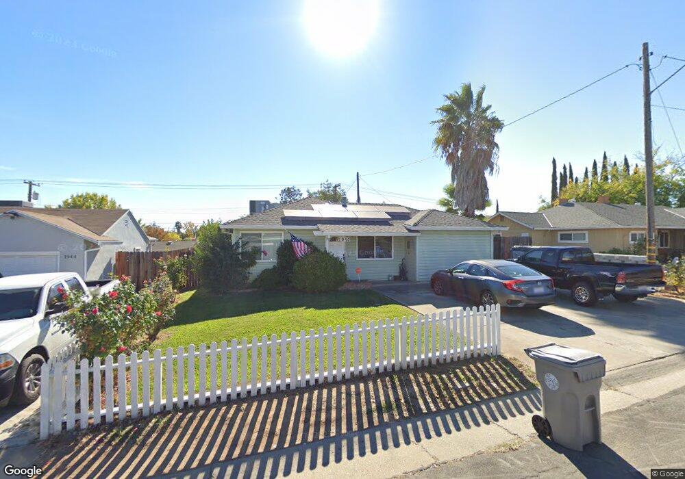
1940 Joan Way Sacramento, CA 95815
Swanston Estates NeighborhoodEstimated Value: $292,000 - $390,000
3
Beds
1
Bath
918
Sq Ft
$384/Sq Ft
Est. Value
About This Home
This home is located at 1940 Joan Way, Sacramento, CA 95815 and is currently estimated at $352,423, approximately $383 per square foot. 1940 Joan Way is a home located in Sacramento County with nearby schools including D. W. Babcock Elementary, Martin Luther King Jr. Technology Academy, and Grant Union High School.
Ownership History
Date
Name
Owned For
Owner Type
Purchase Details
Closed on
Aug 26, 2014
Sold by
Olvera Ruth and Olvera Dorothy
Bought by
Olvera Dorothy and Arnett Ronald J
Current Estimated Value
Home Financials for this Owner
Home Financials are based on the most recent Mortgage that was taken out on this home.
Original Mortgage
$126,666
Interest Rate
4.1%
Mortgage Type
VA
Purchase Details
Closed on
Nov 17, 2001
Sold by
Olvera Ruth and Olvera Dorothy
Bought by
Olvera Ruth and Olvera Dorothy
Home Financials for this Owner
Home Financials are based on the most recent Mortgage that was taken out on this home.
Original Mortgage
$60,000
Interest Rate
6.63%
Create a Home Valuation Report for This Property
The Home Valuation Report is an in-depth analysis detailing your home's value as well as a comparison with similar homes in the area
Home Values in the Area
Average Home Value in this Area
Purchase History
| Date | Buyer | Sale Price | Title Company |
|---|---|---|---|
| Olvera Dorothy | -- | None Available | |
| Olvera Ruth | -- | -- |
Source: Public Records
Mortgage History
| Date | Status | Borrower | Loan Amount |
|---|---|---|---|
| Closed | Olvera Dorothy | $126,666 | |
| Closed | Olvera Ruth | $60,000 |
Source: Public Records
Tax History Compared to Growth
Tax History
| Year | Tax Paid | Tax Assessment Tax Assessment Total Assessment is a certain percentage of the fair market value that is determined by local assessors to be the total taxable value of land and additions on the property. | Land | Improvement |
|---|---|---|---|---|
| 2025 | $782 | $53,360 | $15,562 | $37,798 |
| 2024 | $782 | $52,314 | $15,257 | $37,057 |
| 2023 | $778 | $51,289 | $14,958 | $36,331 |
| 2022 | $741 | $50,284 | $14,665 | $35,619 |
| 2021 | $733 | $49,299 | $14,378 | $34,921 |
| 2020 | $722 | $48,794 | $14,231 | $34,563 |
| 2019 | $711 | $47,838 | $13,952 | $33,886 |
| 2018 | $676 | $46,901 | $13,679 | $33,222 |
| 2017 | $687 | $45,982 | $13,411 | $32,571 |
| 2016 | $674 | $45,082 | $13,149 | $31,933 |
| 2015 | $641 | $44,406 | $12,952 | $31,454 |
| 2014 | $647 | $43,551 | $12,703 | $30,848 |
Source: Public Records
Map
Nearby Homes
- 2001 Bowling Green Dr
- 2008 Bowling Green Dr
- 2405 Ethan Way
- 2436 Connie Dr
- 2046 Edwin Way
- 2100 Bowling Green Dr
- 2104 Rockbridge Rd
- 2106 Keith Way
- 2513 Anna Way
- 1851 Glenrose Ave
- 2713 Plover St
- 2736 Connie Dr
- 2410 Post Oak Ln
- 2248 Shaw St
- 1679 Glenrose Ave
- 2653 Princeton St
- 2818 Plover St
- 2155 Whippoorwill Ln
- 2001 Woodstock Way
- 2314 Wyda Way
- 1944 Joan Way
- 2304 Laramie Ln
- 1948 Joan Way
- 1929 Bowling Green Dr
- 1933 Bowling Green Dr
- 1925 Bowling Green Dr
- 2312 Laramie Ln
- 1952 Joan Way
- 2317 Laramie Ln
- 1937 Bowling Green Dr
- 1921 Bowling Green Dr
- 2313 Connie Dr
- 2321 Laramie Ln
- 2316 Laramie Ln
- 1941 Bowling Green Dr
- 1956 Joan Way
- 1917 Bowling Green Dr
- 2317 Connie Dr
- 2311 Laramie Ln
- 1945 Bowling Green Dr