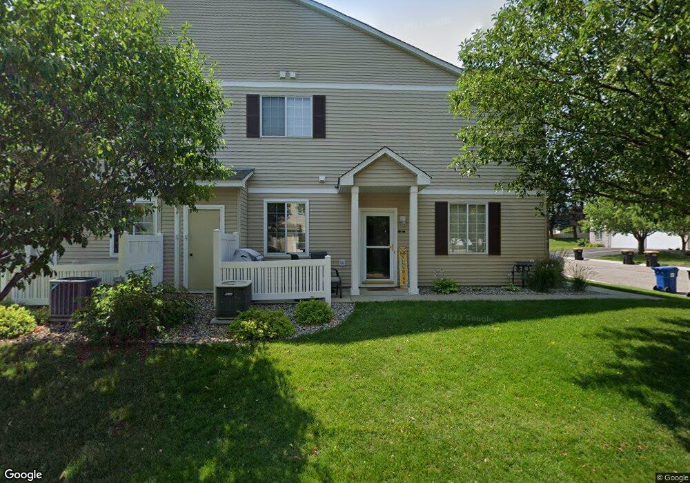
1940 Mockingbird Ave Shakopee, MN 55379
Estimated Value: $264,000 - $270,000
2
Beds
2
Baths
1,562
Sq Ft
$171/Sq Ft
Est. Value
About This Home
This home is located at 1940 Mockingbird Ave, Shakopee, MN 55379 and is currently estimated at $267,542, approximately $171 per square foot. 1940 Mockingbird Ave is a home located in Scott County with nearby schools including Sun Path Elementary School, Shakopee West Middle School, and Shakopee Senior High School.
Ownership History
Date
Name
Owned For
Owner Type
Purchase Details
Closed on
Apr 20, 2007
Sold by
Wm Specialty Mortgage
Bought by
Mercil Nicole
Current Estimated Value
Purchase Details
Closed on
Oct 20, 2000
Sold by
Centex Homes Minnesota Division
Bought by
Schmidt Jennifer
Create a Home Valuation Report for This Property
The Home Valuation Report is an in-depth analysis detailing your home's value as well as a comparison with similar homes in the area
Home Values in the Area
Average Home Value in this Area
Purchase History
| Date | Buyer | Sale Price | Title Company |
|---|---|---|---|
| Mercil Nicole | $164,000 | -- | |
| Schmidt Jennifer | $131,800 | -- |
Source: Public Records
Tax History
| Year | Tax Paid | Tax Assessment Tax Assessment Total Assessment is a certain percentage of the fair market value that is determined by local assessors to be the total taxable value of land and additions on the property. | Land | Improvement |
|---|---|---|---|---|
| 2025 | $2,358 | $254,500 | $76,100 | $178,400 |
| 2024 | $2,440 | $242,800 | $72,400 | $170,400 |
| 2023 | $2,500 | $239,400 | $71,000 | $168,400 |
| 2022 | $2,438 | $241,100 | $72,700 | $168,400 |
| 2021 | $2,098 | $205,500 | $57,000 | $148,500 |
| 2020 | $2,256 | $196,600 | $47,300 | $149,300 |
| 2019 | $2,184 | $187,400 | $45,000 | $142,400 |
| 2018 | $1,870 | $0 | $0 | $0 |
| 2016 | $1,842 | $0 | $0 | $0 |
| 2014 | -- | $0 | $0 | $0 |
Source: Public Records
Map
Nearby Homes
- 2066 Mockingbird Ave
- 2350 Downing Ave
- 1596 Chartreux Ave
- 1928 Vierling Dr E
- 2423 Tyrone Dr
- 2399 Tyrone Dr
- 2351 Tyrone Dr
- 1227 Elmwood Ave Unit 85
- 2655 King Ave
- 2542 Mathias Rd
- 2006 Tyrone Dr
- 2574 Vierling Dr E
- 2795 Downing Ave
- 1624 Philipp Way
- 2817 Downing Ave
- 1667 Countryside Dr
- 1777 Countryside Dr
- 1542 Philipp Way
- 1035 Providence Dr
- 2868 Trinity Dr
- 1652 Brittany Dr Unit 805
- 1944 Mockingbird Ave
- 1656 Brittany Dr
- 1948 Mockingbird Ave Unit 802
- 1660 Brittany Dr
- 1952 Mockingbird Ave
- 1664 Brittany Dr Unit 880
- 1924 Mockingbird Ave
- 1928 Mockingbird Ave
- 1949 Mockingbird Ave
- 1646 Brittany Dr
- 1932 Mockingbird Ave Unit 907
- 1908 Mockingbird Ave Unit 904
- 1912 Mockingbird Ave Unit 903
- 1955 Mockingbird Ave
- 1936 Mockingbird Ave Unit 908
- 1642 Brittany Dr Unit 1607
- 1916 Mockingbird Ave
- 1920 Mockingbird Ave Unit 901
- 1917 Mockingbird Ave Unit 1508
Your Personal Tour Guide
Ask me questions while you tour the home.