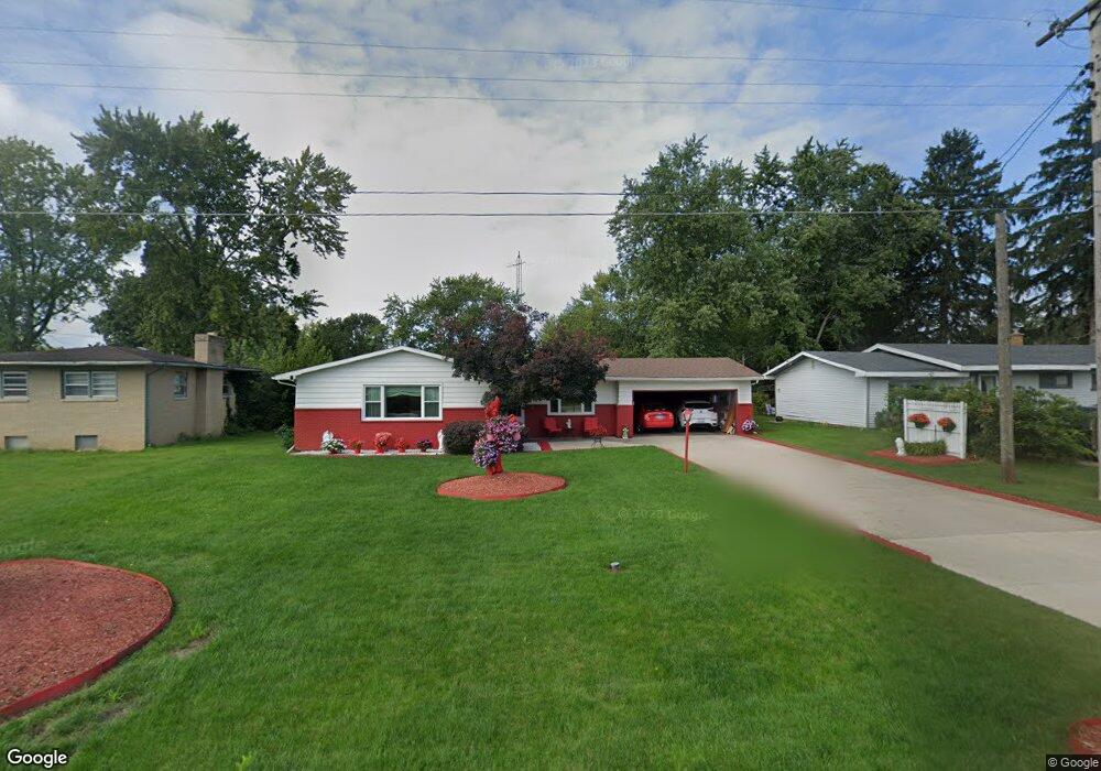
1940 Union Ave Benton Harbor, MI 49022
Fair Plain NeighborhoodEstimated Value: $183,140 - $228,000
--
Bed
1
Bath
1,274
Sq Ft
$162/Sq Ft
Est. Value
About This Home
This home is located at 1940 Union Ave, Benton Harbor, MI 49022 and is currently estimated at $205,785, approximately $161 per square foot. 1940 Union Ave is a home located in Berrien County with nearby schools including Fair Plain Middle School, Benton Harbor High School, and Brookview Montessori School.
Ownership History
Date
Name
Owned For
Owner Type
Purchase Details
Closed on
Nov 14, 2024
Sold by
Pinkney Dorothy Jean
Bought by
Pinkney Eddie and Pinkney Dorothy Inn
Current Estimated Value
Purchase Details
Closed on
Jul 25, 2012
Sold by
Pinkney Eddie and Pinkney Dorothy J
Bought by
Pinkney Dorothy S
Purchase Details
Closed on
Jun 28, 2001
Purchase Details
Closed on
Jan 25, 2001
Purchase Details
Closed on
Jun 21, 2000
Purchase Details
Closed on
Feb 17, 2000
Purchase Details
Closed on
Sep 12, 1996
Purchase Details
Closed on
Feb 25, 1987
Create a Home Valuation Report for This Property
The Home Valuation Report is an in-depth analysis detailing your home's value as well as a comparison with similar homes in the area
Home Values in the Area
Average Home Value in this Area
Purchase History
| Date | Buyer | Sale Price | Title Company |
|---|---|---|---|
| Pinkney Eddie | -- | None Listed On Document | |
| Pinkney Eddie | -- | None Listed On Document | |
| Pinkney Dorothy S | -- | None Available | |
| -- | $51,600 | -- | |
| -- | $48,500 | -- | |
| -- | -- | -- | |
| -- | $43,800 | -- | |
| -- | $100 | -- | |
| -- | $40,700 | -- |
Source: Public Records
Tax History Compared to Growth
Tax History
| Year | Tax Paid | Tax Assessment Tax Assessment Total Assessment is a certain percentage of the fair market value that is determined by local assessors to be the total taxable value of land and additions on the property. | Land | Improvement |
|---|---|---|---|---|
| 2025 | $1,666 | $78,900 | $0 | $0 |
| 2024 | $898 | $76,600 | $0 | $0 |
| 2023 | $855 | $72,100 | $0 | $0 |
| 2022 | $815 | $67,000 | $0 | $0 |
| 2021 | $1,452 | $62,800 | $900 | $61,900 |
| 2020 | $1,434 | $61,500 | $0 | $0 |
| 2019 | $1,420 | $49,100 | $800 | $48,300 |
| 2018 | $1,363 | $49,100 | $0 | $0 |
| 2017 | $1,347 | $50,300 | $0 | $0 |
| 2016 | $1,658 | $50,300 | $0 | $0 |
| 2015 | $1,666 | $47,800 | $0 | $0 |
| 2014 | $691 | $45,800 | $0 | $0 |
Source: Public Records
Map
Nearby Homes
- 682 Waverly Dr
- 1913 E Ogden Ave
- 449 E Napier Ave
- 1762 Smyers Dr
- 1591 Union Ave
- 1606 Stanley Dr
- 1613 Norton Ave
- 00 Michigan 139 Unit B
- 00 Michigan 139 Unit A
- 287 Nickerson Ave
- 0 Fairplain Dr Unit 24044760
- 1608 Reeder Ave
- 1504 Michigan 139
- 00 Alanar Court Lot 32 Rd
- 2402 Virginia Rd
- 719 Manorwood Cir Unit 27
- 1549 Reeder Ave
- 2445 Stratton Rd
- integrity 1800 Plan at Manorwood
- Integrity 2060 Plan at Manorwood