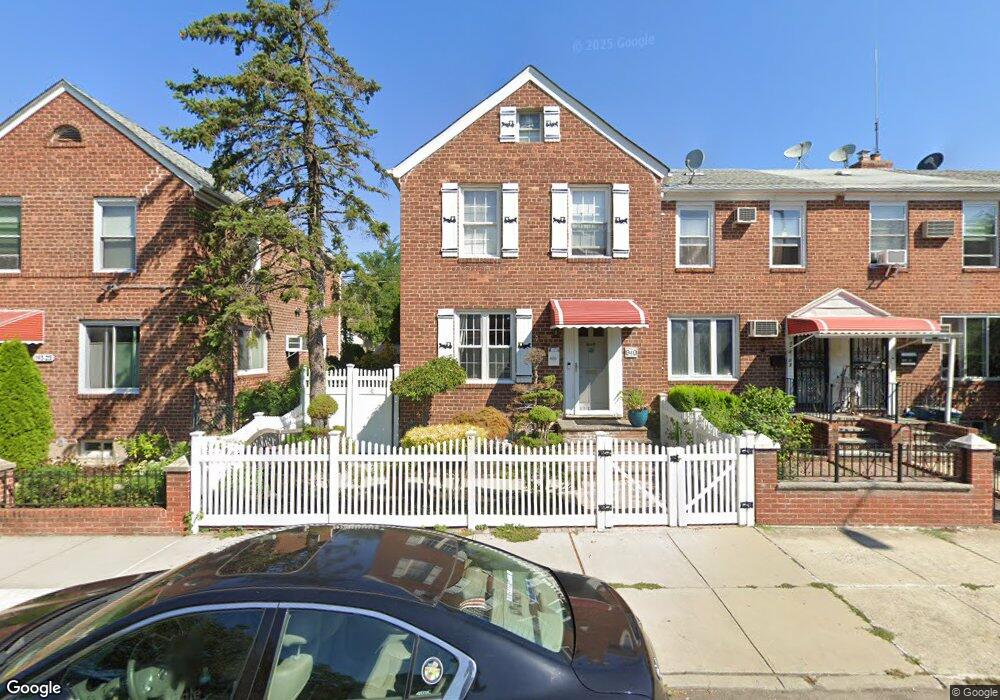
19403 Station Rd Flushing, NY 11358
Auburndale NeighborhoodEstimated Value: $761,194 - $800,000
Studio
--
Bath
960
Sq Ft
$819/Sq Ft
Est. Value
About This Home
This home is located at 19403 Station Rd, Flushing, NY 11358 and is currently estimated at $786,549, approximately $819 per square foot. 19403 Station Rd is a home located in Queens County with nearby schools including P.S. 31 - Bayside, I.S. 25 Adrien Block, and Francis Lewis High School.
Ownership History
Date
Name
Owned For
Owner Type
Purchase Details
Closed on
Apr 7, 2023
Sold by
Chu Kwan Shek and Gee Yan Pik
Bought by
Chu Kwan Shek and Gee Yan Pik
Current Estimated Value
Purchase Details
Closed on
May 2, 2003
Sold by
Shan Xue Lian and Wong Chi Chung
Bought by
Chu Kwan Shek and Gee Lock Yee
Purchase Details
Closed on
Feb 15, 1999
Sold by
Lysohir Christine and Lysohir Peter
Bought by
Wong Chi Chung and Shan Xue Lian
Home Financials for this Owner
Home Financials are based on the most recent Mortgage that was taken out on this home.
Original Mortgage
$155,200
Interest Rate
7.02%
Mortgage Type
Purchase Money Mortgage
Create a Home Valuation Report for This Property
The Home Valuation Report is an in-depth analysis detailing your home's value as well as a comparison with similar homes in the area
Home Values in the Area
Average Home Value in this Area
Purchase History
| Date | Buyer | Sale Price | Title Company |
|---|---|---|---|
| Chu Kwan Shek | -- | -- | |
| Chu Kwan Shek | $325,000 | -- | |
| Wong Chi Chung | $172,500 | Summit Associates Title Svcs |
Source: Public Records
Mortgage History
| Date | Status | Borrower | Loan Amount |
|---|---|---|---|
| Previous Owner | Wong Chi Chung | $155,200 | |
| Closed | Chu Kwan Shek | $0 |
Source: Public Records
Tax History
| Year | Tax Paid | Tax Assessment Tax Assessment Total Assessment is a certain percentage of the fair market value that is determined by local assessors to be the total taxable value of land and additions on the property. | Land | Improvement |
|---|---|---|---|---|
| 2025 | $6,100 | $31,769 | $8,229 | $23,540 |
| 2024 | $6,112 | $31,769 | $9,144 | $22,625 |
| 2023 | $6,051 | $31,529 | $7,903 | $23,626 |
| 2022 | $5,357 | $42,480 | $11,640 | $30,840 |
| 2021 | $5,610 | $40,020 | $11,640 | $28,380 |
| 2020 | $5,308 | $39,480 | $11,640 | $27,840 |
| 2019 | $5,245 | $42,000 | $11,640 | $30,360 |
| 2018 | $5,058 | $26,274 | $8,275 | $17,999 |
| 2017 | $4,753 | $24,787 | $8,541 | $16,246 |
| 2016 | $1,716 | $24,787 | $8,541 | $16,246 |
| 2015 | $971 | $22,062 | $12,776 | $9,286 |
| 2014 | $971 | $22,062 | $11,400 | $10,662 |
Source: Public Records
Map
Nearby Homes
- 4032 195th St
- 194-23 Station Rd
- 40-38 194th St Unit 1A
- 4038 194th St Unit 3B
- 4048 194th St Unit A3
- 193-02 39th Ave Unit 1
- 195-33 39th Ave
- 19112 Station Rd
- 195-31 39th Ave
- 37-6 Francis Lewis Blvd
- 37-08 Francis Lewis Blvd
- 37-02 Francis Lewis Blvd
- 191-9 39th Ave Unit 164
- 191-02 39th Ave
- 190-17 42nd Ave
- 3617 194th St
- 36-20 194th St Unit 3r
- 190-05 39th Ave Unit 142
- 36- 40 201st St Unit A, B, C
- 189-23 39th Ave Unit 122
- 19405 Station Rd
- 19401 Station Rd
- 194-09 Station Rd
- 19407 Station Rd
- 19323 Station Rd
- 19409 Station Rd
- 194-07 Station Rd
- 19411 Station Rd
- 19321 Station Rd
- 3917 192nd St
- 193-17 Station Rd
- 19413 Station Rd
- 19319 Station Rd
- 19317 Station Rd
- 19415 Station Rd
- 19315 Station Rd
- 19417 Station Rd
- 19415 Station Rd
- 194-20 Station Rd Unit 2
- 194-12 Station Rd
Your Personal Tour Guide
Ask me questions while you tour the home.