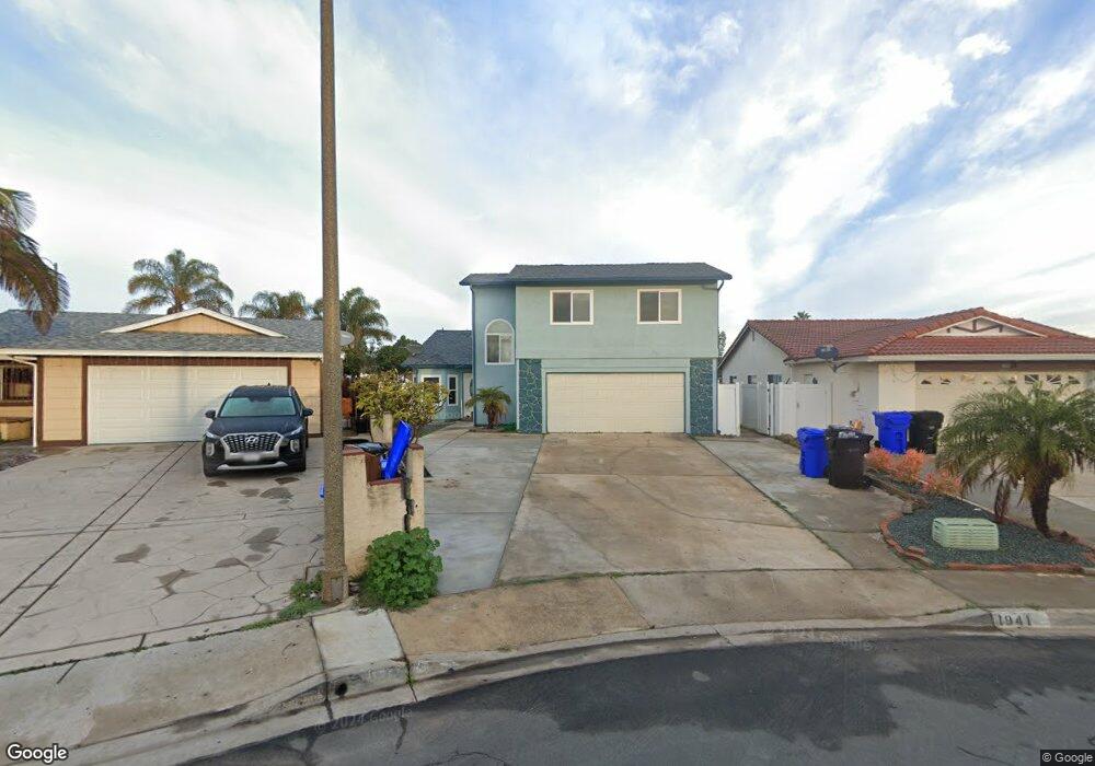
1941 Dunning Cir Unit 1 San Diego, CA 92154
Nestor NeighborhoodEstimated Value: $697,000 - $911,164
2
Beds
1
Bath
953
Sq Ft
$866/Sq Ft
Est. Value
About This Home
This home is located at 1941 Dunning Cir Unit 1, San Diego, CA 92154 and is currently estimated at $825,541, approximately $866 per square foot. 1941 Dunning Cir Unit 1 is a home located in San Diego County with nearby schools including Teofilo Mendoza School, Mar Vista Academy, and Southwest Senior High School.
Ownership History
Date
Name
Owned For
Owner Type
Purchase Details
Closed on
Jun 29, 2022
Sold by
Pansoy Jeri A
Bought by
2402Group Llc
Current Estimated Value
Home Financials for this Owner
Home Financials are based on the most recent Mortgage that was taken out on this home.
Original Mortgage
$615,000
Interest Rate
5.23%
Mortgage Type
Construction
Create a Home Valuation Report for This Property
The Home Valuation Report is an in-depth analysis detailing your home's value as well as a comparison with similar homes in the area
Home Values in the Area
Average Home Value in this Area
Purchase History
| Date | Buyer | Sale Price | Title Company |
|---|---|---|---|
| 2402Group Llc | $600,000 | Usa National Title |
Source: Public Records
Mortgage History
| Date | Status | Borrower | Loan Amount |
|---|---|---|---|
| Closed | 2402Group Llc | $615,000 |
Source: Public Records
Tax History Compared to Growth
Tax History
| Year | Tax Paid | Tax Assessment Tax Assessment Total Assessment is a certain percentage of the fair market value that is determined by local assessors to be the total taxable value of land and additions on the property. | Land | Improvement |
|---|---|---|---|---|
| 2025 | $7,150 | $624,240 | $416,160 | $208,080 |
| 2024 | $7,150 | $612,000 | $408,000 | $204,000 |
| 2023 | $7,098 | $600,000 | $400,000 | $200,000 |
| 2022 | $1,799 | $156,923 | $26,097 | $130,826 |
| 2021 | $1,742 | $153,847 | $25,586 | $128,261 |
| 2020 | $1,701 | $152,270 | $25,324 | $126,946 |
| 2019 | $1,699 | $149,285 | $24,828 | $124,457 |
| 2018 | $1,668 | $146,359 | $24,342 | $122,017 |
| 2017 | $1,632 | $143,490 | $23,865 | $119,625 |
| 2016 | $1,574 | $140,678 | $23,398 | $117,280 |
| 2015 | $1,571 | $138,566 | $23,047 | $115,519 |
| 2014 | $1,544 | $135,853 | $22,596 | $113,257 |
Source: Public Records
Map
Nearby Homes
- 1920 Dunning Cir
- 1035 Sea Glass Way
- 1767 Gentle Current Way
- 1877 Donax Ave
- 1975 Avenida Del Mexico Unit 216
- 1975 Avenida Del Mexico Unit 217
- 1910 Avenida Del Mexico Unit 102
- 1979 Avenida Del Mexico Unit 128
- 1749-51 Dahlia Ave
- 2180 Hofer Dr
- 1175 Atwater St
- 830 Harwood St
- 1813 Cheri St Unit A
- 1829 Carol St Unit 1829
- 1384 Frauline Dr
- 1640 Halley St
- 1165 Hollister St Unit Space 26
- 2223 Imogene Ave
- 1600 Palm Ave Unit 45
- 1600 Palm Ave Unit 55
- 1941 Dunning Cir Unit 2
- 1941 Dunning Cir
- 1941 Dunning Cir
- 1941 Dunning Cr
- 1945 Dunning Cir
- 1937 Dunning Cir
- 1949 Dunning Cir
- 1933 Dunning Cir
- 1953 Raedel Ct
- 1013 Saturn Blvd Unit 23
- 1945 Raedel Ct
- 1953 Dunning Cir
- 1927 Dunning Cir
- 1940 Dunning Cir
- 1961 Raedel Ct
- 1957 Dunning Cir
- 1921 Dunning Cir
- 1950 Dunning Cir
- 1005 Saturn Blvd Unit 1
- 1948 Raedel Ct