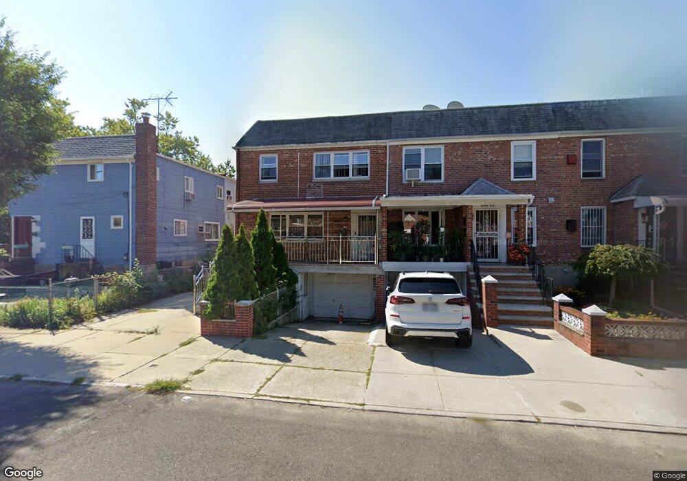
19414 Station Rd Flushing, NY 11358
Auburndale NeighborhoodEstimated Value: $1,377,000 - $1,610,000
--
Bed
--
Bath
3,300
Sq Ft
$449/Sq Ft
Est. Value
About This Home
This home is located at 19414 Station Rd, Flushing, NY 11358 and is currently estimated at $1,481,756, approximately $449 per square foot. 19414 Station Rd is a home located in Queens County with nearby schools including P.S. 31 - Bayside, I.S. 25 Adrien Block, and Francis Lewis High School.
Ownership History
Date
Name
Owned For
Owner Type
Purchase Details
Closed on
Jul 28, 2000
Sold by
Koutsourakis Theodoros and Koutsourakis Evangelia
Bought by
Li Sheng Guang and Huang Jin Chai
Current Estimated Value
Home Financials for this Owner
Home Financials are based on the most recent Mortgage that was taken out on this home.
Original Mortgage
$230,000
Interest Rate
8.1%
Create a Home Valuation Report for This Property
The Home Valuation Report is an in-depth analysis detailing your home's value as well as a comparison with similar homes in the area
Home Values in the Area
Average Home Value in this Area
Purchase History
| Date | Buyer | Sale Price | Title Company |
|---|---|---|---|
| Li Sheng Guang | $398,000 | Commonwealth Land Title Ins |
Source: Public Records
Mortgage History
| Date | Status | Borrower | Loan Amount |
|---|---|---|---|
| Closed | Li Sheng Guang | $230,000 |
Source: Public Records
Tax History Compared to Growth
Tax History
| Year | Tax Paid | Tax Assessment Tax Assessment Total Assessment is a certain percentage of the fair market value that is determined by local assessors to be the total taxable value of land and additions on the property. | Land | Improvement |
|---|---|---|---|---|
| 2025 | $11,442 | $60,386 | $14,265 | $46,121 |
| 2024 | $11,442 | $56,970 | $15,770 | $41,200 |
| 2023 | $10,795 | $53,746 | $12,920 | $40,826 |
| 2022 | $10,570 | $76,740 | $22,140 | $54,600 |
| 2021 | $11,143 | $82,080 | $22,140 | $59,940 |
| 2020 | $10,652 | $78,360 | $22,140 | $56,220 |
| 2019 | $9,931 | $67,080 | $22,140 | $44,940 |
| 2018 | $9,130 | $44,788 | $16,250 | $28,538 |
| 2017 | $6,790 | $44,125 | $16,089 | $28,036 |
| 2016 | $8,821 | $44,125 | $16,089 | $28,036 |
| 2015 | $4,801 | $41,935 | $18,648 | $23,287 |
| 2014 | $4,801 | $39,563 | $21,121 | $18,442 |
Source: Public Records
Map
Nearby Homes
- 194-23 Station Rd
- 195-31 39th Ave
- 40-38 194th St Unit A-1
- 37-6 Francis Lewis Blvd
- 37-02 Francis Lewis Blvd
- 37-08 Francis Lewis Blvd
- 4048 194th St Unit A3
- 200-06 39th Ave
- 191-22 39th Ave
- 3617 194th St
- 19112 Station Rd
- 191-08 Station Rd
- 36- 40 201st St Unit A, B, C
- 191-9 39th Ave Unit 164
- 36-20 194th St Unit 3r
- 191-09 39th Ave Unit Lower
- 42-32 196th St
- 196-19 42nd Rd
- 4014 191st St
- 190-05 39th Ave Unit 140
- 194-14 Station Rd Unit 2nd Fl
- 19412 Station Rd
- 41-16 195th St
- 4004 195th St
- 4008 195th St
- 19410 Station Rd Unit 2
- 19410 Station Rd
- 40-08 195th St
- 19406 Station Rd
- 4014 195th St
- 19406 Station Rd
- 40-14 195th St
- 41-26 195th St
- 19404 Station Rd
- 4009 194th St
- 194-20 Station Rd Unit 2
- 195-08 Station Rd Unit 4
- 4015 194th St
- 19402 Station Rd
- 4020 195th St