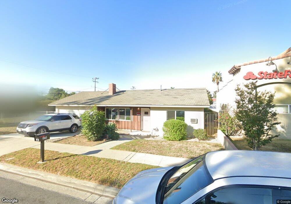
1943 Galt St Simi Valley, CA 93065
West Simi Valley NeighborhoodEstimated Value: $705,000 - $743,000
3
Beds
1
Bath
1,104
Sq Ft
$663/Sq Ft
Est. Value
About This Home
This home is located at 1943 Galt St, Simi Valley, CA 93065 and is currently estimated at $731,743, approximately $662 per square foot. 1943 Galt St is a home located in Ventura County with nearby schools including Berylwood Elementary School, Sinaloa Middle School, and Royal High School.
Ownership History
Date
Name
Owned For
Owner Type
Purchase Details
Closed on
Feb 24, 2011
Sold by
Rovner Michael L and Rovner Janet L
Bought by
Mosland
Current Estimated Value
Purchase Details
Closed on
Dec 28, 2010
Sold by
Holliday William
Bought by
Rovner Michael L and Rovner Janet L
Create a Home Valuation Report for This Property
The Home Valuation Report is an in-depth analysis detailing your home's value as well as a comparison with similar homes in the area
Home Values in the Area
Average Home Value in this Area
Purchase History
| Date | Buyer | Sale Price | Title Company |
|---|---|---|---|
| Mosland | $320,000 | Lawyers Title Vn | |
| Rovner Michael L | $290,000 | Multiple |
Source: Public Records
Tax History Compared to Growth
Tax History
| Year | Tax Paid | Tax Assessment Tax Assessment Total Assessment is a certain percentage of the fair market value that is determined by local assessors to be the total taxable value of land and additions on the property. | Land | Improvement |
|---|---|---|---|---|
| 2025 | $5,213 | $409,958 | $307,472 | $102,486 |
| 2024 | $5,213 | $401,920 | $301,443 | $100,477 |
| 2023 | $4,902 | $394,040 | $295,533 | $98,507 |
| 2022 | $4,875 | $386,314 | $289,738 | $96,576 |
| 2021 | $4,834 | $378,740 | $284,057 | $94,683 |
| 2020 | $4,729 | $374,859 | $281,146 | $93,713 |
| 2019 | $4,514 | $367,510 | $275,634 | $91,876 |
| 2018 | $4,473 | $360,305 | $270,230 | $90,075 |
| 2017 | $4,371 | $353,241 | $264,932 | $88,309 |
| 2016 | $4,174 | $346,316 | $259,738 | $86,578 |
| 2015 | $4,084 | $341,117 | $255,838 | $85,279 |
| 2014 | $4,023 | $334,437 | $250,828 | $83,609 |
Source: Public Records
Map
Nearby Homes
- 1876 Duncan St
- 1755 Heywood St Unit 203
- 1529 Patricia Ave Unit 6
- 1740 Heywood St
- 1663 Anderson St
- 1448 Patricia Ave Unit 204
- 1391 Patricia Ave
- 1886 Cloud Ct
- 1620 Spence St
- 2234 Callahan Ave
- 1882 Larch St
- 1932 Heywood St Unit B
- 2091 Marter Ave
- 1948 Heywood St Unit L
- 1280 Patricia Ave
- 1256 Patricia Ave Unit 10
- 1748 Sutter Ave
- 1951 Galt St
- 1887 Galt St
- 1658 E Los Angeles Ave
- 1859 Galt St
- 1850 Duncan St
- 1616 E Los Angeles Ave
- 1671 Patricia Ave
- 1621 Patricia Ave
- 1611 Patricia Ave
- 1881 Duncan St
- 1701 Patricia Ave
- 1701 Patricia Ave Unit 3
- 1701 Patricia Ave Unit 2
- 1701 Patricia Ave Unit 1
- 1867 Duncan St
- 1731 Patricia Ave
- 1731 Patricia Ave Unit 3
- 1731 Patricia Ave Unit 2
- 1731 Patricia Ave Unit 1
- 1855 Duncan St