1944 Pearman Dairy Rd Anderson, SC 29625
--
Bed
--
Bath
10,069
Sq Ft
2.35
Acres
About This Home
This home is located at 1944 Pearman Dairy Rd, Anderson, SC 29625. 1944 Pearman Dairy Rd is a home located in Anderson County with nearby schools including Whitehall Elementary School, Westside High School, and Anderson Institute of Technology.
Ownership History
Date
Name
Owned For
Owner Type
Purchase Details
Closed on
Dec 15, 2016
Sold by
Chamblee David L and Chamblee Emily C
Bought by
Gautam Myrtle Beach Llc
Home Financials for this Owner
Home Financials are based on the most recent Mortgage that was taken out on this home.
Original Mortgage
$1,185,200
Outstanding Balance
$971,786
Interest Rate
4.03%
Mortgage Type
Construction
Purchase Details
Closed on
Dec 10, 2007
Sold by
Sease Steve A and Sease Clarence F
Bought by
Chamblee David L and Chamblee Emily C
Home Financials for this Owner
Home Financials are based on the most recent Mortgage that was taken out on this home.
Original Mortgage
$600,000
Interest Rate
6.21%
Mortgage Type
Commercial
Purchase Details
Closed on
Mar 13, 2007
Sold by
Commerce Center Associates Inc
Bought by
Sease Steve A and Sease Clarence F
Create a Home Valuation Report for This Property
The Home Valuation Report is an in-depth analysis detailing your home's value as well as a comparison with similar homes in the area
Home Values in the Area
Average Home Value in this Area
Purchase History
| Date | Buyer | Sale Price | Title Company |
|---|---|---|---|
| Gautam Myrtle Beach Llc | $670,000 | None Available | |
| Chamblee David L | $630,000 | Attorney | |
| Sease Steve A | $1,200,000 | None Available |
Source: Public Records
Mortgage History
| Date | Status | Borrower | Loan Amount |
|---|---|---|---|
| Open | Gautam Myrtle Beach Llc | $1,185,200 | |
| Previous Owner | Chamblee David L | $600,000 |
Source: Public Records
Tax History Compared to Growth
Tax History
| Year | Tax Paid | Tax Assessment Tax Assessment Total Assessment is a certain percentage of the fair market value that is determined by local assessors to be the total taxable value of land and additions on the property. | Land | Improvement |
|---|---|---|---|---|
| 2024 | $18,625 | $60,760 | $28,200 | $32,560 |
| 2023 | $18,625 | $60,760 | $28,200 | $32,560 |
| 2022 | $18,153 | $60,760 | $28,200 | $32,560 |
| 2021 | $17,639 | $54,230 | $28,200 | $26,030 |
| 2020 | $17,381 | $54,230 | $28,200 | $26,030 |
| 2019 | $17,381 | $54,230 | $28,200 | $26,030 |
| 2018 | $17,142 | $54,230 | $28,200 | $26,030 |
| 2017 | -- | $39,990 | $28,200 | $11,790 |
| 2016 | $10,762 | $35,100 | $24,680 | $10,420 |
| 2015 | $10,874 | $35,100 | $24,680 | $10,420 |
| 2014 | -- | $37,940 | $24,680 | $13,260 |
Source: Public Records
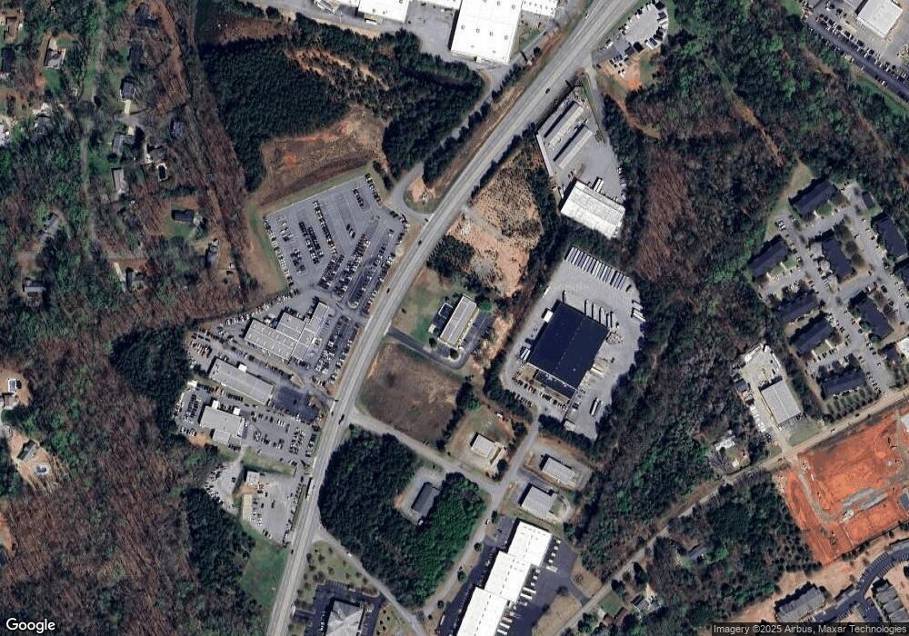
Map
Nearby Homes
- 505 Brookgreen Ct
- 401 Phil Watson Rd
- 211 Phil Watson Rd
- 4115 Liberty Hwy
- 216 Maplewood Rd
- 105-107 Independence Path
- 408 Greenbriar Ln
- 301 Woodlake Rd
- 4214 Hembree Creek Rd
- 212 Middleton Shores Dr
- 210 Giles St
- 212 Giles St
- 214 Giles St
- 216 Giles St
- 802 Yates Cir
- 706 Woodlake Rd
- 103 Northlake Dr
- 203 Northlake Dr Unit 2C
- 302 Northlake Dr Unit 3B
- 403 Brown Rd
- 2000 Pearman Dairy Rd
- 203 Commerce Blvd
- Tract D Commerce Blvd
- 507 Brookgreen Ct
- 509 Brookgreen Ct
- 215 Commerce Blvd Tract B
- 1220 Salem Church Rd
- 0 Salem Church Rd Unit Hembree Road 1288528
- 500 Brookgreen Ct
- 1924 Pearman Dairy Rd
- 307 Brookgreen Cir
- 305 Brookgreen Cir
- 1231 Salem Church Rd
- 1229 Salem Church Rd
- 2010 Pearman Dairy Rd Unit Pearman Dairy Road
- 2010 Pearman Dairy Rd
- 501 Brookgreen Ct
- 501 Brookgreen Ct Unit $8,000 TAX CREDIT
- 1233 Salem Church Rd
- 1225 Salem Church Rd