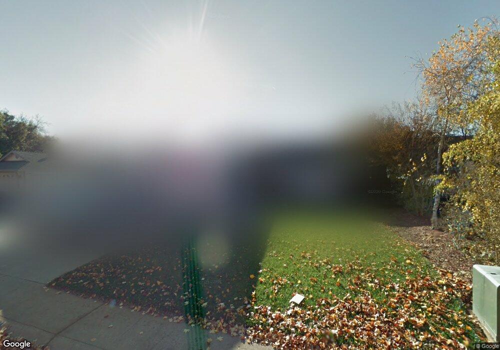
1944 Shelby Rd Redding, CA 96002
Alta Mesa NeighborhoodEstimated Value: $352,000 - $422,000
3
Beds
2
Baths
1,674
Sq Ft
$237/Sq Ft
Est. Value
About This Home
This home is located at 1944 Shelby Rd, Redding, CA 96002 and is currently estimated at $397,346, approximately $237 per square foot. 1944 Shelby Rd is a home located in Shasta County with nearby schools including Alta Mesa Elementary School, Parsons Junior High School, and Enterprise High School.
Ownership History
Date
Name
Owned For
Owner Type
Purchase Details
Closed on
Apr 24, 2020
Sold by
Stroud Valerie Jean and Sawyers Valerie
Bought by
Stroud Valerie Jean and Stroud David William
Current Estimated Value
Home Financials for this Owner
Home Financials are based on the most recent Mortgage that was taken out on this home.
Original Mortgage
$210,040
Outstanding Balance
$186,766
Interest Rate
3.6%
Mortgage Type
New Conventional
Estimated Equity
$210,580
Purchase Details
Closed on
Oct 8, 2008
Sold by
Fdic
Bought by
Sawyers Valerie
Home Financials for this Owner
Home Financials are based on the most recent Mortgage that was taken out on this home.
Original Mortgage
$183,150
Interest Rate
6.07%
Mortgage Type
FHA
Purchase Details
Closed on
Aug 15, 2008
Sold by
Watson Gerald
Bought by
Indymac Bank Fsb
Home Financials for this Owner
Home Financials are based on the most recent Mortgage that was taken out on this home.
Original Mortgage
$183,150
Interest Rate
6.07%
Mortgage Type
FHA
Purchase Details
Closed on
Aug 4, 2006
Sold by
Watson Gerald
Bought by
Watson Gerald and Watson Tammy
Purchase Details
Closed on
Apr 20, 2006
Sold by
Watson Tammy
Bought by
Watson Gerald
Purchase Details
Closed on
Jan 21, 2006
Sold by
Murphy Rob D and Murphy Joni D
Bought by
Watson Gerald
Home Financials for this Owner
Home Financials are based on the most recent Mortgage that was taken out on this home.
Original Mortgage
$313,400
Interest Rate
2%
Mortgage Type
Fannie Mae Freddie Mac
Purchase Details
Closed on
Jun 22, 2000
Sold by
Darcy Donald W and Darcy Trudie W
Bought by
Murphy Rob D and Murphy Joni D
Home Financials for this Owner
Home Financials are based on the most recent Mortgage that was taken out on this home.
Original Mortgage
$111,500
Interest Rate
7.62%
Purchase Details
Closed on
Sep 2, 1997
Sold by
Kaufman And Broad Of No Calif
Bought by
Darcy Donald W and Darcy Trudie W
Home Financials for this Owner
Home Financials are based on the most recent Mortgage that was taken out on this home.
Original Mortgage
$95,391
Interest Rate
9.87%
Create a Home Valuation Report for This Property
The Home Valuation Report is an in-depth analysis detailing your home's value as well as a comparison with similar homes in the area
Home Values in the Area
Average Home Value in this Area
Purchase History
| Date | Buyer | Sale Price | Title Company |
|---|---|---|---|
| Stroud Valerie Jean | -- | Placer Title Company | |
| Sawyers Valerie | $230,000 | Lsi Title Company | |
| Indymac Bank Fsb | $250,000 | None Available | |
| Watson Gerald | -- | None Available | |
| Watson Gerald | -- | Multiple | |
| Watson Gerald | $329,909 | Multiple | |
| Murphy Rob D | $123,500 | Placer Title Company | |
| Darcy Donald W | $106,000 | First American Title Co |
Source: Public Records
Mortgage History
| Date | Status | Borrower | Loan Amount |
|---|---|---|---|
| Open | Stroud Valerie Jean | $210,040 | |
| Closed | Sawyers Valerie | $183,150 | |
| Previous Owner | Watson Gerald | $313,400 | |
| Previous Owner | Murphy Rob D | $111,500 | |
| Previous Owner | Darcy Donald W | $95,391 |
Source: Public Records
Tax History
| Year | Tax Paid | Tax Assessment Tax Assessment Total Assessment is a certain percentage of the fair market value that is determined by local assessors to be the total taxable value of land and additions on the property. | Land | Improvement |
|---|---|---|---|---|
| 2025 | $3,187 | $300,475 | $103,012 | $197,463 |
| 2024 | $3,142 | $294,585 | $100,993 | $193,592 |
| 2023 | $3,142 | $288,810 | $99,013 | $189,797 |
| 2022 | $3,052 | $283,148 | $97,072 | $186,076 |
| 2021 | $2,946 | $277,597 | $95,169 | $182,428 |
| 2020 | $2,933 | $274,752 | $94,194 | $180,558 |
| 2019 | $2,908 | $269,366 | $92,348 | $177,018 |
| 2018 | $2,873 | $264,086 | $90,538 | $173,548 |
| 2017 | $2,952 | $258,909 | $88,763 | $170,146 |
| 2016 | $2,501 | $230,000 | $45,000 | $185,000 |
| 2015 | $2,386 | $218,000 | $40,000 | $178,000 |
| 2014 | $2,393 | $216,000 | $35,000 | $181,000 |
Source: Public Records
Map
Nearby Homes
- 2068 Solar Way
- 2332 Venus Way
- 4624 Columbine Dr
- 2427 Castlewood Dr
- 1513 Harpole Rd
- 2366 Templeton Dr
- 3466 Silverwood St
- 4302 Paulson Ln
- 3425 Silverwood St
- 4646 Alta Camino Dr
- 3688 Polaris Way
- 2364 La Madre Ct
- 4733 Fiddleneck Dr
- 3341 Timbercreek Dr
- 3733 Capricorn Way
- 3703 Harrow Ct
- 2704 Western Oak Dr
- 2498 Saturn Skyway
- 3361 Alta Mesa Dr
- 2354 Suzette Ave
- 1930 Shelby Rd
- 1958 Shelby Rd
- 1955 Chiella Ln Unit ONE
- 1955 Chiella Ln
- 1965 Chiella Ln
- 1941 Chiella Ln
- 1916 Shelby Rd
- 1965 Chiella Ln#2
- 1972 Shelby Rd
- 1951 Shelby Rd
- 1927 Chiella Ln Unit 1
- 1927 Chiella Ln
- 1983 Chiella Ln
- 1965 Shelby Rd
- 1937 Shelby Rd
- 1983 Chiella Ln
- 1923 Shelby Rd
- 4113 Bowyer Blvd
- 1979 Shelby Rd
- 4127 Bowyer Blvd
Your Personal Tour Guide
Ask me questions while you tour the home.