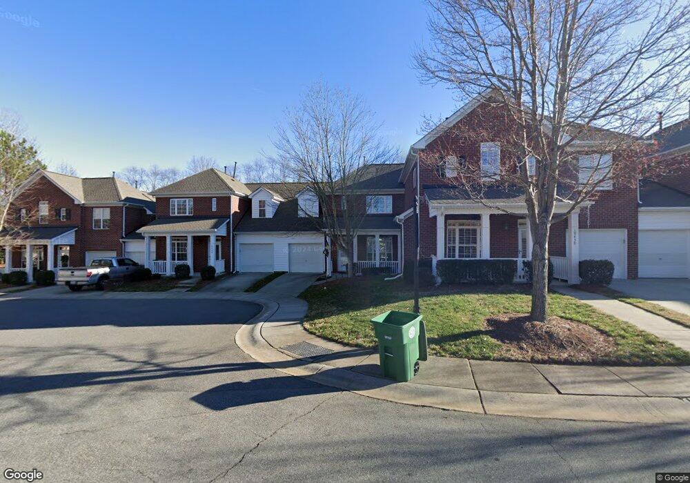
19440 E Battery St Unit 73 Cornelius, NC 28031
Estimated Value: $390,000 - $519,000
3
Beds
3
Baths
1,334
Sq Ft
$323/Sq Ft
Est. Value
About This Home
This home is located at 19440 E Battery St Unit 73, Cornelius, NC 28031 and is currently estimated at $430,604, approximately $322 per square foot. 19440 E Battery St Unit 73 is a home located in Mecklenburg County with nearby schools including Cornelius Elementary School, Bailey Middle School, and William Amos Hough High School.
Ownership History
Date
Name
Owned For
Owner Type
Purchase Details
Closed on
Jun 17, 2013
Sold by
Philips Malcolm H and Philips Kitty C
Bought by
Philips Malcolm H and Philips Kitty C
Current Estimated Value
Purchase Details
Closed on
Sep 15, 2008
Sold by
Cobblestone Builders Llc
Bought by
Philips Malcolm H and Philips Kitty C
Home Financials for this Owner
Home Financials are based on the most recent Mortgage that was taken out on this home.
Original Mortgage
$260,000
Outstanding Balance
$172,605
Interest Rate
6.48%
Mortgage Type
Purchase Money Mortgage
Estimated Equity
$257,999
Purchase Details
Closed on
Jun 3, 2008
Sold by
Cobblestone Builders Llc
Bought by
Binaco Damon B
Home Financials for this Owner
Home Financials are based on the most recent Mortgage that was taken out on this home.
Original Mortgage
$184,000
Interest Rate
5.86%
Mortgage Type
Purchase Money Mortgage
Create a Home Valuation Report for This Property
The Home Valuation Report is an in-depth analysis detailing your home's value as well as a comparison with similar homes in the area
Home Values in the Area
Average Home Value in this Area
Purchase History
| Date | Buyer | Sale Price | Title Company |
|---|---|---|---|
| Philips Malcolm H | -- | None Available | |
| Philips Malcolm H | $325,000 | Barristers Title Services Of | |
| Binaco Damon B | $224,000 | Barristers Title Services Of | |
| Cobblestone Builders Llc | $201,500 | Barristers Title Services Of |
Source: Public Records
Mortgage History
| Date | Status | Borrower | Loan Amount |
|---|---|---|---|
| Open | Philips Malcolm H | $260,000 | |
| Previous Owner | Binaco Damon B | $184,000 |
Source: Public Records
Tax History
| Year | Tax Paid | Tax Assessment Tax Assessment Total Assessment is a certain percentage of the fair market value that is determined by local assessors to be the total taxable value of land and additions on the property. | Land | Improvement |
|---|---|---|---|---|
| 2025 | $2,230 | $332,236 | -- | $332,236 |
| 2024 | $2,230 | $332,236 | -- | $332,236 |
| 2023 | $2,191 | $332,236 | $0 | $332,236 |
| 2022 | $2,024 | $233,800 | $0 | $233,800 |
| 2021 | $2,001 | $233,800 | $0 | $233,800 |
| 2020 | $2,001 | $233,800 | $0 | $233,800 |
| 2019 | $1,995 | $233,800 | $0 | $233,800 |
| 2018 | $2,132 | $195,200 | $45,000 | $150,200 |
| 2017 | $2,114 | $195,200 | $45,000 | $150,200 |
| 2016 | $2,111 | $195,200 | $45,000 | $150,200 |
| 2015 | $2,078 | $195,200 | $45,000 | $150,200 |
| 2014 | $2,076 | $196,300 | $45,000 | $151,300 |
Source: Public Records
Map
Nearby Homes
- 19139 Berkley Commons Dr
- 20400 Marblehead Ct
- 19711 Bethel Church Rd
- 20332 Colony Point Ln
- 20314 Colony Point Ln
- 20517 Queensdale Dr
- 20105 Chapel Point Ln
- 19329 Watermark Dr Unit 551
- 20115 Henderson Rd Unit D
- 20115 Henderson Rd Unit H
- 20114 Norman Colony Rd
- 20441 Harbor View Dr
- 19716 Outermark Ln
- 20711 Bethel Church Rd
- 16215 Lakeside Loop Ln
- 19603 Galleon View
- 18800 Nantz Rd
- 15012 Courtside Cove Ln
- 19002 Meta Rd
- 21311 Baltic Dr
- 19442 E Battery St Unit 72
- 19438 E Battery St Unit 74
- 19444 E Battery St Unit 71
- 19436 E Battery St Unit 19436
- 19434 E Battery St Unit 76
- 19434 E Battery St Unit 19434
- 19432 E Battery St Unit 77
- 19432 E Battery St Unit 19432
- 20213 Middletown Rd Unit 81
- 20208 Middletown Rd
- 19430 E Battery St
- 20218 Middletown Rd
- 20218 Middletown Rd Unit 66
- 20220 Middletown Rd Unit 65
- 20222 Middletown Rd Unit 64
- 20216 Middletown Rd
- 20206 Middletown Rd Unit 70
- 20216 Middletown Rd Unit 67
- 20210 Middletown Rd
- 19433 E Battery St Unit 80