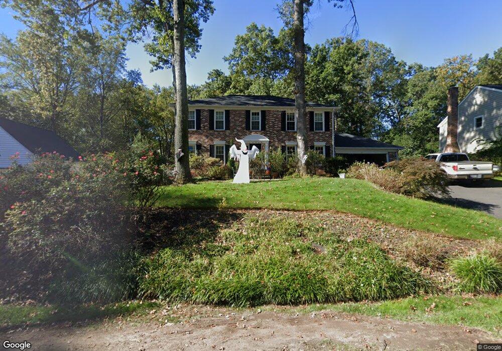
1946 Barton Hill Rd Reston, VA 20191
Estimated Value: $990,000 - $1,134,000
4
Beds
4
Baths
2,352
Sq Ft
$451/Sq Ft
Est. Value
About This Home
This home is located at 1946 Barton Hill Rd, Reston, VA 20191 and is currently estimated at $1,060,342, approximately $450 per square foot. 1946 Barton Hill Rd is a home located in Fairfax County with nearby schools including Sunrise Valley Elementary, Langston Hughes Middle School, and South Lakes High School.
Ownership History
Date
Name
Owned For
Owner Type
Purchase Details
Closed on
Feb 22, 2007
Sold by
White William R
Bought by
Maas Jason T and White,Carey C
Current Estimated Value
Home Financials for this Owner
Home Financials are based on the most recent Mortgage that was taken out on this home.
Original Mortgage
$516,000
Outstanding Balance
$310,263
Interest Rate
6.23%
Mortgage Type
New Conventional
Estimated Equity
$750,079
Purchase Details
Closed on
Jan 26, 1996
Sold by
Drake Susan R
Bought by
White William R
Home Financials for this Owner
Home Financials are based on the most recent Mortgage that was taken out on this home.
Original Mortgage
$220,800
Interest Rate
7.13%
Create a Home Valuation Report for This Property
The Home Valuation Report is an in-depth analysis detailing your home's value as well as a comparison with similar homes in the area
Home Values in the Area
Average Home Value in this Area
Purchase History
We collect this data history from publicly available records. To have your information removed, we recommend requesting removal directly through your county’s website.
| Date | Buyer | Sale Price | Title Company |
|---|---|---|---|
| Maas Jason T | $645,000 | -- | |
| White William R | $475,000 | -- |
Source: Public Records
Mortgage History
We collect this data history from publicly available records. To have your information removed, we recommend requesting removal directly through your county’s website.
| Date | Status | Borrower | Loan Amount |
|---|---|---|---|
| Open | Maas Jason T | $516,000 | |
| Previous Owner | White William R | $220,800 |
Source: Public Records
Tax History
| Year | Tax Paid | Tax Assessment Tax Assessment Total Assessment is a certain percentage of the fair market value that is determined by local assessors to be the total taxable value of land and additions on the property. | Land | Improvement |
|---|---|---|---|---|
| 2025 | $11,217 | $1,005,720 | $363,000 | $642,720 |
| 2024 | $11,217 | $930,520 | $338,000 | $592,520 |
| 2023 | $9,849 | $837,860 | $318,000 | $519,860 |
| 2022 | $9,607 | $806,980 | $318,000 | $488,980 |
| 2021 | $9,605 | $786,980 | $298,000 | $488,980 |
| 2020 | $9,253 | $751,980 | $263,000 | $488,980 |
| 2019 | $9,506 | $772,510 | $263,000 | $509,510 |
| 2018 | $8,322 | $723,670 | $243,000 | $480,670 |
| 2017 | $8,254 | $683,310 | $224,000 | $459,310 |
| 2016 | $8,961 | $743,340 | $233,000 | $510,340 |
Source: Public Records
Map
Nearby Homes
- 11938 Sentinel Point Ct
- 11045B Villaridge Ct
- 1907B Villaridge Dr
- 1917B Villaridge Dr
- 10741 Midsummer Dr
- 1957A Villaridge Dr
- 11124 Boathouse Ct Unit 89
- 1958B Villaridge Dr
- 11024 Thrush Ridge Rd
- 1968B Villaridge Dr
- 11163 Lake Chapel Ln
- 11142 Beaver Trail Ct
- 11144 Beaver Trail Ct Unit 11144
- 1951 Sagewood Ln Unit 2
- 11116 Beaver Trail Ct Unit 11116
- 10802 Dayflower Ct
- 10714 Midsummer Dr
- 11240 Harbor Ct Unit 11240
- 2013 Lakewinds Dr
- 1944 Lakeport Way
- 1944 Barton Hill Rd
- 1948 Barton Hill Rd
- 1942 Barton Hill Rd
- 1950 Barton Hill Rd
- 1945 Barton Hill Rd
- 1947 Barton Hill Rd
- 1943 Barton Hill Rd
- 1940 Barton Hill Rd
- 11968 Sentinel Point Ct
- 11966 Sentinel Point Ct
- 11964 Sentinel Point Ct
- 11962 Sentinel Point Ct
- 11970 Sentinel Point Ct
- 11960 Sentinel Point Ct
- 1949 Barton Hill Rd
- 11972 Sentinel Point Ct
- 11958 Sentinel Point Ct
- 1941 Barton Hill Rd
- 11974 Sentinel Point Ct
- 11956 Sentinel Point Ct
Your Personal Tour Guide
Ask me questions while you tour the home.