1946 Foster Rd Hatfield, PA 19440
Estimated Value: $572,000 - $625,000
4
Beds
3
Baths
2,289
Sq Ft
$262/Sq Ft
Est. Value
About This Home
This home is located at 1946 Foster Rd, Hatfield, PA 19440 and is currently estimated at $598,587, approximately $261 per square foot. 1946 Foster Rd is a home located in Montgomery County with nearby schools including A. M. Kulp Elementary School, Pennfield Middle School, and North Penn Senior High School.
Ownership History
Date
Name
Owned For
Owner Type
Purchase Details
Closed on
Jun 15, 2020
Sold by
Jane I Angelo Estate
Bought by
Wright Robert and Wright Lisa
Current Estimated Value
Home Financials for this Owner
Home Financials are based on the most recent Mortgage that was taken out on this home.
Original Mortgage
$262,400
Outstanding Balance
$232,598
Interest Rate
3.2%
Mortgage Type
New Conventional
Estimated Equity
$365,989
Purchase Details
Closed on
Jun 6, 1974
Bought by
Angelo Charles A and Angelo Jane I
Create a Home Valuation Report for This Property
The Home Valuation Report is an in-depth analysis detailing your home's value as well as a comparison with similar homes in the area
Home Values in the Area
Average Home Value in this Area
Purchase History
| Date | Buyer | Sale Price | Title Company |
|---|---|---|---|
| Wright Robert | $365,400 | None Available | |
| Angelo Charles A | $49,700 | -- |
Source: Public Records
Mortgage History
| Date | Status | Borrower | Loan Amount |
|---|---|---|---|
| Open | Wright Robert | $262,400 |
Source: Public Records
Tax History Compared to Growth
Tax History
| Year | Tax Paid | Tax Assessment Tax Assessment Total Assessment is a certain percentage of the fair market value that is determined by local assessors to be the total taxable value of land and additions on the property. | Land | Improvement |
|---|---|---|---|---|
| 2025 | $6,786 | $169,490 | $49,480 | $120,010 |
| 2024 | $6,786 | $169,490 | $49,480 | $120,010 |
| 2023 | $6,495 | $169,490 | $49,480 | $120,010 |
| 2022 | $6,283 | $169,490 | $49,480 | $120,010 |
| 2021 | $6,105 | $169,490 | $49,480 | $120,010 |
| 2020 | $5,960 | $169,490 | $49,480 | $120,010 |
| 2019 | $5,861 | $169,490 | $49,480 | $120,010 |
| 2018 | $5,861 | $169,490 | $49,480 | $120,010 |
| 2017 | $5,637 | $169,490 | $49,480 | $120,010 |
| 2016 | $5,571 | $169,490 | $49,480 | $120,010 |
| 2015 | $5,348 | $169,490 | $49,480 | $120,010 |
| 2014 | $5,348 | $169,490 | $49,480 | $120,010 |
Source: Public Records
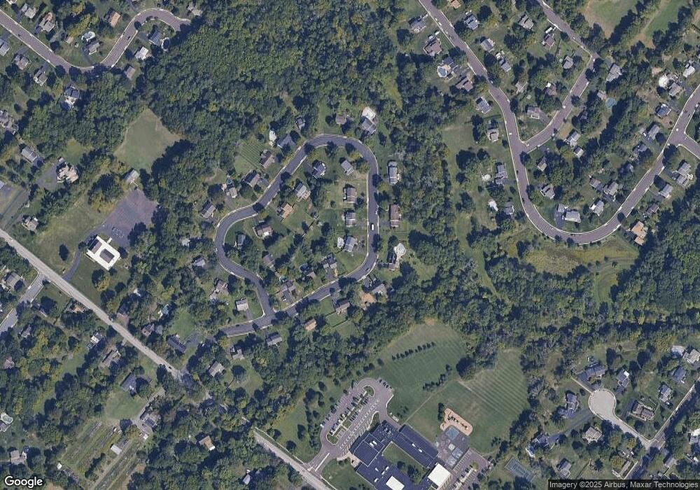
Map
Nearby Homes
- 732 Cowpath Rd
- 2317 E Orvilla Rd
- 1226 Cabin Rd
- 1306 W Orvilla Rd
- 1315 Deer Run Rd
- 9 Fortuna Dr
- 8 Fortuna Dr
- 5 Fortuna Dr
- 6 Fortuna Dr
- 2674 Anthony Dr
- 1744 Lydia Dr
- 401 Sadie Ave
- 381 Sydney Ave
- 373 Sydney Ln
- 375 Sydney Ln
- 480 Bentwood Dr
- 2111 Hidden Meadow Dr
- 0 Fairmount St
- 105 S Main St
- 109 Hickory Dr