1947 County Road 795 Ashland, OH 44805
Estimated Value: $250,000 - $369,000
3
Beds
2
Baths
1,452
Sq Ft
$203/Sq Ft
Est. Value
About This Home
This home is located at 1947 County Road 795, Ashland, OH 44805 and is currently estimated at $295,012, approximately $203 per square foot. 1947 County Road 795 is a home located in Ashland County with nearby schools including Hillsdale Elementary School, Hillsdale Middle School, and Hillsdale High School.
Ownership History
Date
Name
Owned For
Owner Type
Purchase Details
Closed on
Feb 22, 2011
Sold by
Sloan Daniel E and Sloan Carol L
Bought by
Ault Steven D and Brown Kathie D
Current Estimated Value
Purchase Details
Closed on
Mar 10, 1988
Bought by
Sloan Daniel E
Create a Home Valuation Report for This Property
The Home Valuation Report is an in-depth analysis detailing your home's value as well as a comparison with similar homes in the area
Home Values in the Area
Average Home Value in this Area
Purchase History
| Date | Buyer | Sale Price | Title Company |
|---|---|---|---|
| Ault Steven D | $118,500 | -- | |
| Sloan Daniel E | $46,500 | -- |
Source: Public Records
Tax History Compared to Growth
Tax History
| Year | Tax Paid | Tax Assessment Tax Assessment Total Assessment is a certain percentage of the fair market value that is determined by local assessors to be the total taxable value of land and additions on the property. | Land | Improvement |
|---|---|---|---|---|
| 2024 | $2,203 | $67,410 | $15,600 | $51,810 |
| 2023 | $2,203 | $67,410 | $15,600 | $51,810 |
| 2022 | $1,986 | $48,150 | $11,140 | $37,010 |
| 2021 | $1,989 | $48,150 | $11,140 | $37,010 |
| 2020 | $1,863 | $48,150 | $11,140 | $37,010 |
| 2019 | $1,727 | $43,760 | $10,600 | $33,160 |
| 2018 | $1,717 | $43,760 | $10,600 | $33,160 |
| 2017 | $1,719 | $43,760 | $10,600 | $33,160 |
| 2016 | $1,137 | $28,950 | $9,220 | $19,730 |
| 2015 | $1,123 | $28,950 | $9,220 | $19,730 |
| 2013 | $1,152 | $29,030 | $9,540 | $19,490 |
Source: Public Records
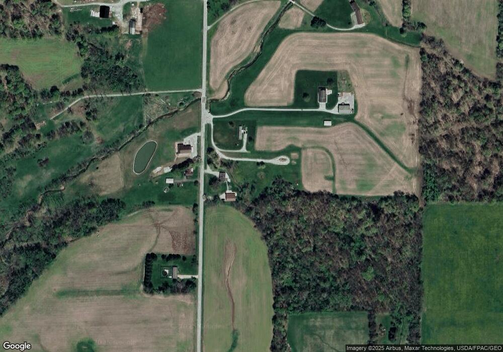
Map
Nearby Homes
- 820 County Road 30a
- 150 E Main St
- 0 Twp Rd 1806 Unit 11591470
- 1845 County Road 655
- 0 Ashland County Road 2175
- 0 Ashland County Road 2175
- 1653 Ohio 60
- 1653 State Route 60
- 1106 County Road 30a
- 1048 Township Road 2156
- 1690 County Road 995
- 1015 Township Road 1696
- 0 Township Road 925
- 1183 County Road 30a
- 1581 County Road 995
- 19 Maine St
- 14 E South St
- 1457 Township Road 853
- 2057 State Route 89
- 1946 County Road 795
- 1941 County Road 795
- 1938 County Road 795
- 1966 County Road 795
- 1956 County Road 795
- 1962 County Road 795
- 0 County Road 795
- 1958 County Road 795
- 1939 County Road 795
- 1970 County Road 795
- 1925 County Road 795
- 1931 County Road 795
- 1977 County Road 795
- 808 County Road 30a
- 782 County Road 30a
- 1915 County Road 795
- 810 County Road 30a
- 783 County Road 30a
- 801 County Road 30a
- 776 County Road 30a