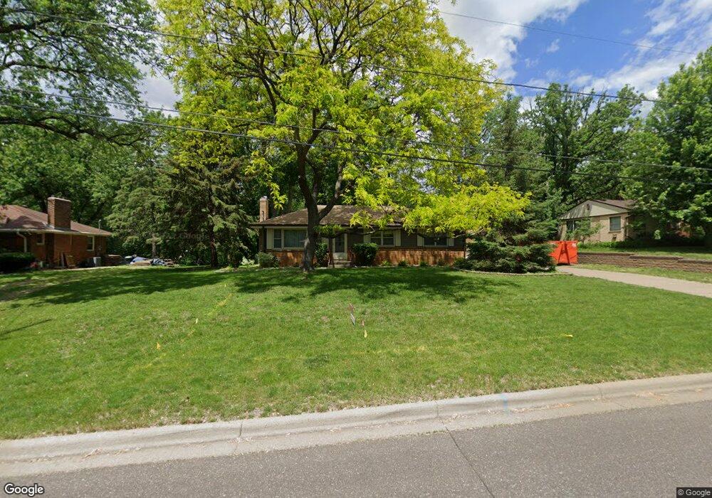
1947 Flandrau St Saint Paul, MN 55109
Gladstone NeighborhoodEstimated Value: $325,000 - $346,549
3
Beds
2
Baths
2,375
Sq Ft
$142/Sq Ft
Est. Value
About This Home
This home is located at 1947 Flandrau St, Saint Paul, MN 55109 and is currently estimated at $337,387, approximately $142 per square foot. 1947 Flandrau St is a home located in Ramsey County with nearby schools including Weaver Elementary School, John Glenn Middle School, and Mounds Park Academy.
Ownership History
Date
Name
Owned For
Owner Type
Purchase Details
Closed on
Jul 28, 2022
Sold by
Petroski John J
Bought by
Aung Saw Nigh and Htoo Shwe
Current Estimated Value
Home Financials for this Owner
Home Financials are based on the most recent Mortgage that was taken out on this home.
Original Mortgage
$300,700
Interest Rate
5.78%
Mortgage Type
New Conventional
Create a Home Valuation Report for This Property
The Home Valuation Report is an in-depth analysis detailing your home's value as well as a comparison with similar homes in the area
Home Values in the Area
Average Home Value in this Area
Purchase History
| Date | Buyer | Sale Price | Title Company |
|---|---|---|---|
| Aung Saw Nigh | $310,000 | -- | |
| Aung Saw | $310,000 | -- |
Source: Public Records
Mortgage History
| Date | Status | Borrower | Loan Amount |
|---|---|---|---|
| Previous Owner | Aung Saw | $300,700 |
Source: Public Records
Tax History Compared to Growth
Tax History
| Year | Tax Paid | Tax Assessment Tax Assessment Total Assessment is a certain percentage of the fair market value that is determined by local assessors to be the total taxable value of land and additions on the property. | Land | Improvement |
|---|---|---|---|---|
| 2025 | $4,084 | $315,100 | $60,900 | $254,200 |
| 2023 | $4,084 | $295,500 | $60,900 | $234,600 |
| 2022 | $3,536 | $283,400 | $60,900 | $222,500 |
| 2021 | $3,210 | $248,300 | $60,900 | $187,400 |
| 2020 | $3,120 | $232,500 | $60,900 | $171,600 |
| 2019 | $2,648 | $213,200 | $60,900 | $152,300 |
| 2018 | $2,580 | $187,800 | $60,900 | $126,900 |
| 2017 | $2,668 | $179,300 | $60,900 | $118,400 |
| 2016 | $2,518 | $0 | $0 | $0 |
| 2015 | $2,430 | $169,300 | $55,900 | $113,400 |
| 2014 | $1,874 | $0 | $0 | $0 |
Source: Public Records
Map
Nearby Homes
- 1937 Flandrau St
- 1856 Flandrau St
- 1984 Prosperity Rd
- 1849 Kennard St
- 1743 White Bear Ave N
- 2182 Van Dyke St
- 1694 Laurie Rd E
- 1666 Laurie Rd E
- 1940 Barclay St
- 1854 Barclay St
- 2175 German St
- 1279 Ripley Ave
- 2054 Shryer Ct E
- 1627 Christie Place
- 1509 Sandhurst Ave E
- 1740 California Ave E
- 1467 County Road B E
- 1869 Birmingham St
- 2193 Jennifer Ct
- 1637 Iowa Ave E
- 1949 Flandrau St
- 1941 Flandrau St
- 1955 Flandrau St
- 1939 Flandrau St
- 1944 Flandrau St
- 1950 Flandrau St
- 1940 Flandrau St
- 1959 Flandrau St
- 1720 Rosewood Ave S
- 1938 Flandrau St
- 1975 White Bear Ave N
- 1959 White Bear Ave N
- 1726 Rosewood Ave S
- 1934 Flandrau St
- 1712 Rosewood Ave S
- 1953 White Bear Ave N
- 1989 White Bear Ave N
- 1935 Flandrau St
- 1947 White Bear Ave N
- 1732 Rosewood Ave S