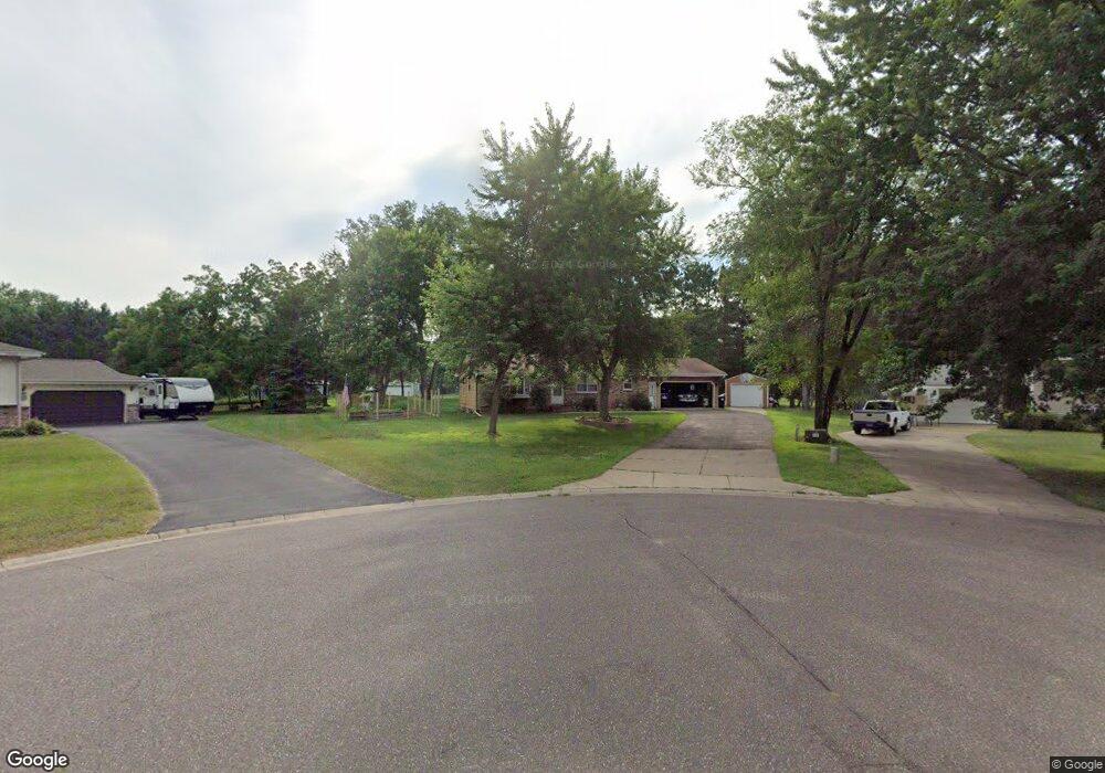
1947 Mankato Cir NE Andover, MN 55304
Estimated Value: $326,000 - $376,000
4
Beds
2
Baths
1,163
Sq Ft
$299/Sq Ft
Est. Value
About This Home
This home is located at 1947 Mankato Cir NE, Andover, MN 55304 and is currently estimated at $347,815, approximately $299 per square foot. 1947 Mankato Cir NE is a home located in Anoka County with nearby schools including McKinley Elementary School, Roosevelt Middle School, and Green Valley High School.
Ownership History
Date
Name
Owned For
Owner Type
Purchase Details
Closed on
Aug 26, 2016
Sold by
Erickson Darlys E
Bought by
Olson Joshua K
Current Estimated Value
Home Financials for this Owner
Home Financials are based on the most recent Mortgage that was taken out on this home.
Original Mortgage
$191,468
Outstanding Balance
$152,642
Interest Rate
3.37%
Mortgage Type
FHA
Estimated Equity
$195,173
Create a Home Valuation Report for This Property
The Home Valuation Report is an in-depth analysis detailing your home's value as well as a comparison with similar homes in the area
Home Values in the Area
Average Home Value in this Area
Purchase History
| Date | Buyer | Sale Price | Title Company |
|---|---|---|---|
| Olson Joshua K | $195,000 | Liberty Title Inc |
Source: Public Records
Mortgage History
| Date | Status | Borrower | Loan Amount |
|---|---|---|---|
| Open | Olson Joshua K | $191,468 |
Source: Public Records
Tax History Compared to Growth
Tax History
| Year | Tax Paid | Tax Assessment Tax Assessment Total Assessment is a certain percentage of the fair market value that is determined by local assessors to be the total taxable value of land and additions on the property. | Land | Improvement |
|---|---|---|---|---|
| 2025 | $2,517 | $320,100 | $104,400 | $215,700 |
| 2024 | $2,517 | $300,300 | $87,400 | $212,900 |
| 2023 | $2,439 | $302,500 | $87,400 | $215,100 |
| 2022 | $2,228 | $300,200 | $71,300 | $228,900 |
| 2021 | $2,084 | $245,000 | $62,400 | $182,600 |
| 2020 | $1,997 | $224,000 | $56,400 | $167,600 |
| 2019 | $1,922 | $208,500 | $52,200 | $156,300 |
| 2018 | $1,792 | $195,200 | $0 | $0 |
| 2017 | $1,628 | $177,000 | $0 | $0 |
| 2016 | $1,585 | $154,300 | $0 | $0 |
| 2015 | $1,539 | $154,300 | $44,500 | $109,800 |
| 2014 | -- | $131,300 | $34,800 | $96,500 |
Source: Public Records
Map
Nearby Homes
- 1854 168th Ave NE
- 16832 Hastings St NE
- 2304 169th Ave NE
- 17220 Nassau St NE
- XXX Staples St NE
- 16329 Kenyon St NE
- 825 174th Ave NE
- TBD 169th Ave NE
- 17984 Taconite St NE
- 15218 Quince St NW
- 17205 Lincoln St NE
- 2708 171st Ln NE
- 17655 London St NE
- 16140 Central Ave NE
- 869 150th Ln NW
- 2374 Swedish Dr NE
- XXX 166th Ln NE
- 17821 Urbank St NE
- 2622 159th Ave NE
- 2747 160th Ln NE
- 1951 Mankato Cir NE
- 1950 Mankato Cir NE
- 1961 Mankato Cir NE
- 1920 169th Ave NE
- 2011 Mankato Cir NE
- 2010 Mankato Cir NE
- 1940 169th Ave NE
- 1939 168th Ave NE
- 1925 168th Ave NE
- 1960 169th Ave NE
- 1957 168th Ave NE
- 2010 169th Ave NE
- 16712 Mankato St NE
- 1911 168th Ave NE
- 16825 Jenkins Cir NE
- 1914 169th Ave NE
- 16831 Mankato St NE
- 16821 Mankato St NE
- 16811 Mankato St NE
- 16801 Mankato St NE