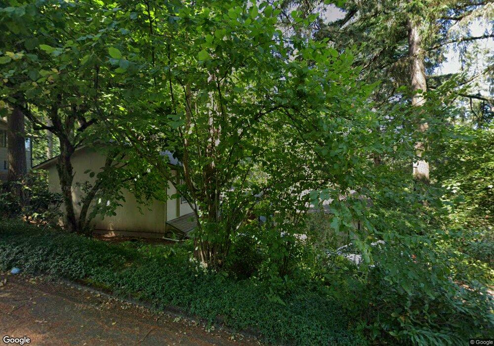
1948 Kimberly Dr Eugene, OR 97405
Southeast Eugene NeighborhoodEstimated Value: $735,669 - $865,000
4
Beds
3
Baths
3,022
Sq Ft
$269/Sq Ft
Est. Value
About This Home
This home is located at 1948 Kimberly Dr, Eugene, OR 97405 and is currently estimated at $812,667, approximately $268 per square foot. 1948 Kimberly Dr is a home located in Lane County with nearby schools including Camas Ridge Community Elementary School, Roosevelt Middle School, and South Eugene High School.
Ownership History
Date
Name
Owned For
Owner Type
Purchase Details
Closed on
May 11, 2010
Sold by
Kantor Phyllis W
Bought by
Gombart Adrian F and Gombart Kayoko
Current Estimated Value
Home Financials for this Owner
Home Financials are based on the most recent Mortgage that was taken out on this home.
Original Mortgage
$200,000
Outstanding Balance
$125,009
Interest Rate
3.87%
Mortgage Type
New Conventional
Estimated Equity
$687,658
Create a Home Valuation Report for This Property
The Home Valuation Report is an in-depth analysis detailing your home's value as well as a comparison with similar homes in the area
Home Values in the Area
Average Home Value in this Area
Purchase History
| Date | Buyer | Sale Price | Title Company |
|---|---|---|---|
| Gombart Adrian F | $365,000 | Western Title & Escrow |
Source: Public Records
Mortgage History
| Date | Status | Borrower | Loan Amount |
|---|---|---|---|
| Open | Gombart Adrian F | $200,000 |
Source: Public Records
Tax History
| Year | Tax Paid | Tax Assessment Tax Assessment Total Assessment is a certain percentage of the fair market value that is determined by local assessors to be the total taxable value of land and additions on the property. | Land | Improvement |
|---|---|---|---|---|
| 2025 | $8,614 | $442,090 | -- | -- |
| 2024 | $8,506 | $429,214 | -- | -- |
| 2023 | $8,506 | $416,713 | $0 | $0 |
| 2022 | $7,969 | $404,576 | $0 | $0 |
| 2021 | $7,485 | $392,793 | $0 | $0 |
| 2020 | $7,511 | $381,353 | $0 | $0 |
| 2019 | $7,254 | $370,246 | $0 | $0 |
| 2018 | $6,829 | $348,993 | $0 | $0 |
| 2017 | $6,461 | $348,993 | $0 | $0 |
| 2016 | $6,200 | $338,828 | $0 | $0 |
| 2015 | $5,749 | $328,959 | $0 | $0 |
| 2014 | $5,687 | $319,378 | $0 | $0 |
Source: Public Records
Map
Nearby Homes
- 3574 Spring Blvd
- 1996 Kimberly Dr
- 3810 Spring Blvd
- 3605 Emerald St
- 3392 Onyx Place
- 3758 Pine Canyon Dr
- 2082 Golfview Ct
- 3905 Spring Blvd
- 3945 Spring Blvd
- 3790 Onyx St
- 1210 E 38th Ave
- 3970 N Shasta Loop
- 4015 Spring Knoll Dr
- 1731 Estate Dr
- 2693 Cupola Dr
- 0 Agate St
- 2694 Cupola Dr Unit 21
- 0 Capital Dr
- 2825 2819 Capital Dr Unit 18, 19
- 4080 Spring Blvd
- 1942 Kimberly Dr
- 1954 Kimberly Dr
- 1910 Kimberly Dr
- 1945 Kimberly Dr
- 1951 Kimberly Dr
- 1936 Kimberly Dr
- 1960 Kimberly Dr
- 1963 Kimberly Dr
- 1931 Kimberly Dr
- 1924 Kimberly Dr
- 1950 Dogwood Dr
- 1966 Kimberly Dr
- 1970 Dogwood Dr
- 1975 Kimberly Dr
- 1972 Kimberly Dr
- 0 Kimberly Dr
- 1981 Kimberly Dr
- 1925 Dogwood Dr
- 1990 Dogwood Dr
- 1710 Stoney Ridge Rd
Your Personal Tour Guide
Ask me questions while you tour the home.