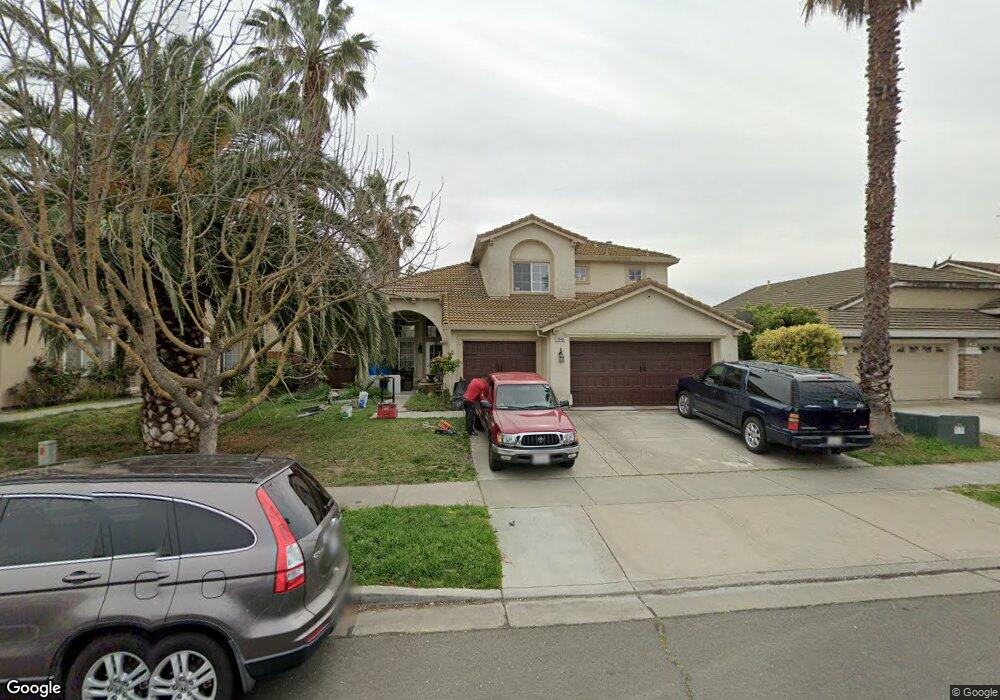
1948 Maxwell Ave Woodland, CA 95776
Estimated Value: $565,000 - $646,000
4
Beds
3
Baths
2,161
Sq Ft
$284/Sq Ft
Est. Value
About This Home
This home is located at 1948 Maxwell Ave, Woodland, CA 95776 and is currently estimated at $614,423, approximately $284 per square foot. 1948 Maxwell Ave is a home located in Yolo County with nearby schools including Ramon S. Tafoya Elementary School, Douglass Middle School, and Pioneer High School.
Ownership History
Date
Name
Owned For
Owner Type
Purchase Details
Closed on
Dec 31, 2002
Sold by
Romero Ignacio and Romero Veronica
Bought by
Romero Ignacio and Romero Veronica
Current Estimated Value
Home Financials for this Owner
Home Financials are based on the most recent Mortgage that was taken out on this home.
Original Mortgage
$215,000
Outstanding Balance
$91,989
Interest Rate
6.06%
Estimated Equity
$522,434
Purchase Details
Closed on
Feb 19, 1999
Sold by
Lennar Sacramento Inc
Bought by
Ledesma Romero Ignacio and Ledesma Romero Veronica
Home Financials for this Owner
Home Financials are based on the most recent Mortgage that was taken out on this home.
Original Mortgage
$175,300
Interest Rate
6.77%
Create a Home Valuation Report for This Property
The Home Valuation Report is an in-depth analysis detailing your home's value as well as a comparison with similar homes in the area
Home Values in the Area
Average Home Value in this Area
Purchase History
| Date | Buyer | Sale Price | Title Company |
|---|---|---|---|
| Romero Ignacio | -- | -- | |
| Ledesma Romero Ignacio | $181,000 | First American Title Ins Co |
Source: Public Records
Mortgage History
| Date | Status | Borrower | Loan Amount |
|---|---|---|---|
| Open | Romero Ignacio | $215,000 | |
| Closed | Ledesma Romero Ignacio | $175,300 |
Source: Public Records
Tax History Compared to Growth
Tax History
| Year | Tax Paid | Tax Assessment Tax Assessment Total Assessment is a certain percentage of the fair market value that is determined by local assessors to be the total taxable value of land and additions on the property. | Land | Improvement |
|---|---|---|---|---|
| 2025 | $3,775 | $310,689 | $93,748 | $216,941 |
| 2023 | $3,775 | $298,626 | $90,108 | $208,518 |
| 2022 | $4,052 | $292,772 | $88,342 | $204,430 |
| 2021 | $4,004 | $287,032 | $86,610 | $200,422 |
| 2020 | $3,959 | $284,089 | $85,722 | $198,367 |
| 2019 | $3,891 | $278,520 | $84,042 | $194,478 |
| 2018 | $3,854 | $273,060 | $82,395 | $190,665 |
| 2017 | $3,782 | $267,707 | $80,780 | $186,927 |
| 2016 | $3,721 | $262,459 | $79,197 | $183,262 |
| 2015 | $3,622 | $258,518 | $78,008 | $180,510 |
| 2014 | $3,622 | $253,455 | $76,480 | $176,975 |
Source: Public Records
Map
Nearby Homes
- 1988 Hackett Dr
- 1840 E Gum Ave
- 1967 Hawkins Ct
- 976 Huston Cir
- 737 Farnham Ave
- 1808 Farnham Ave
- 2120 Freeway Dr
- 1729 Lee Dr
- 1060 Powers Cir
- 2712 Farmers Central Rd
- Residence 1709 Plan at Ruby Cottages
- Residence 2117 Plan at Ruby Cottages
- Residence 1943 Plan at Ruby Cottages
- 2001 Baker Place
- 1607 Motta St
- 2021 Santos St
- 1414 St Louis Way
- 1422 St Louis Way
- 2205 Armus St
- 2222 Armus St
- 1952 Maxwell Ave
- 1944 Maxwell Ave
- 1956 Maxwell Ave
- 1940 Maxwell Ave
- 14 Arellano Ct
- 10 Arellano Ct
- 1936 Maxwell Ave
- 1947 Maxwell Ave
- 904 Burns Way
- 1943 Maxwell Ave
- 908 Burns Way
- 1951 Maxwell Ave
- 18 Arellano Ct
- 1939 Maxwell Ave
- 900 Burns Way
- 912 Burns Way
- 6 Arellano Ct
- 1935 Maxwell Ave
- 1932 Maxwell Ave
- 916 Burns Way