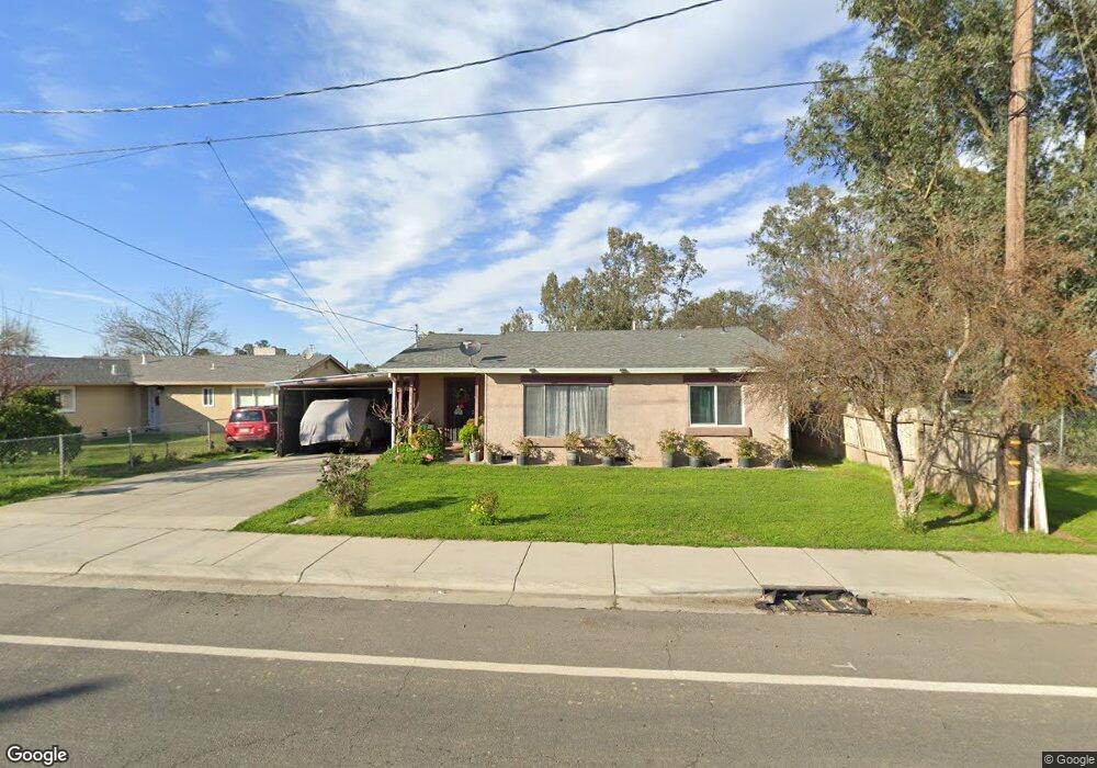
1949 7th Ave Olivehurst, CA 95961
Estimated Value: $280,829 - $337,000
About This Home
This home is located at 1949 7th Ave, Olivehurst, CA 95961 and is currently estimated at $308,707, approximately $231 per square foot. 1949 7th Ave is a home located in Yuba County with nearby schools including Ella Elementary School, Yuba Gardens Intermediate School, and Lindhurst High School.
Ownership History
We collect this data history from publicly available records. To have your information removed, we recommend requesting removal directly through your county’s website.
Purchase Details
Purchase Details
Home Financials for this Owner
Home Financials are based on the most recent Mortgage that was taken out on this home.Purchase Details
Home Financials for this Owner
Home Financials are based on the most recent Mortgage that was taken out on this home.Home Values in the Area
Average Home Value in this Area
Purchase History
We collect this data history from publicly available records. To have your information removed, we recommend requesting removal directly through your county’s website.
| Date | Buyer | Sale Price | Title Company |
|---|---|---|---|
| $43,875 | None Available | ||
| $225,000 | First American Title Company | ||
| $40,000 | First American Title Ins Co |
Mortgage History
We collect this data history from publicly available records. To have your information removed, we recommend requesting removal directly through your county’s website.
| Date | Status | Borrower | Loan Amount |
|---|---|---|---|
| Previous Owner | $202,400 | ||
| Previous Owner | $25,000 |
Tax History
We collect this data history from publicly available records. To have your information removed, we recommend requesting removal directly through your county’s website.
| Year | Tax Paid | Tax Assessment Tax Assessment Total Assessment is a certain percentage of the fair market value that is determined by local assessors to be the total taxable value of land and additions on the property. | Land | Improvement |
|---|---|---|---|---|
| 2025 | $1,110 | $96,795 | $25,809 | $70,986 |
| 2023 | $1,110 | $93,038 | $24,807 | $68,231 |
| 2022 | $1,079 | $91,215 | $24,321 | $66,894 |
| 2021 | $1,066 | $89,428 | $23,845 | $65,583 |
| 2020 | $1,058 | $88,512 | $23,601 | $64,911 |
| 2019 | $1,424 | $86,778 | $23,139 | $63,639 |
| 2018 | $1,387 | $85,078 | $22,686 | $62,392 |
| 2017 | $1,353 | $83,411 | $22,242 | $61,169 |
| 2016 | $1,341 | $81,776 | $21,806 | $59,970 |
| 2015 | -- | $80,549 | $21,479 | $59,070 |
| 2014 | $1,298 | $78,972 | $21,059 | $57,913 |
Map
- 1872 6th Ave
- 757 Pacific Grove Way
- 5010 Powerline Rd Unit D
- 4654 Powerline Rd
- 4693 Ardmore Ave
- 4738 Fleming Way
- 1727 5th Ave
- 4581 Meadow Way
- 4600 Olivehurst Ave
- 1613 9th Ave
- 4518 Meadow Way
- 4791 Olivehurst Ave
- 1651 3rd Ave
- 4641 Pacific Ave
- 5057 Canal St
- 1632 11th Ave
- 1729 Hicks Ave
- 1885 15th St
- 1984 15th St
- 4470 College Way
- 1943 7th Ave
- 1937 7th Ave
- 4866 Powerline Rd
- 1931 7th Ave
- 1946 7th Ave
- 1925 7th Ave
- 4912 Powerline Rd
- 4834 Powerline Rd
- 1926 7th Ave
- 4900 Powerline Rd
- 1927 Chapman Ave
- 1908 7th Ave
- 1944 Chapman Ave
- 1952 Chapman Ave
- 4816 Powerline Rd
- 1940 Chapman Ave
- 1902 7th Ave
- 1934 Chapman Ave
- 1901 Chapman Ave
- 1926 Chapman Ave
Ask me questions while you tour the home.