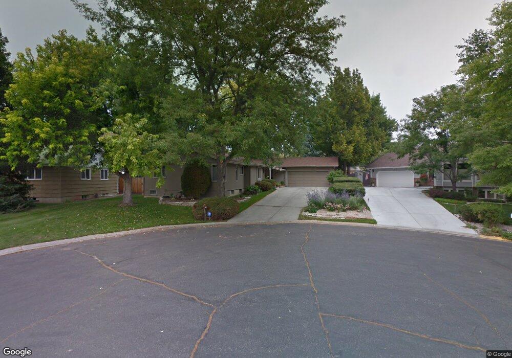
1949 Iris Ln Billings, MT 59102
North Central Billings NeighborhoodEstimated Value: $449,428 - $536,000
5
Beds
3
Baths
3,708
Sq Ft
$133/Sq Ft
Est. Value
About This Home
This home is located at 1949 Iris Ln, Billings, MT 59102 and is currently estimated at $494,607, approximately $133 per square foot. 1949 Iris Ln is a home located in Yellowstone County with nearby schools including Rose Park School, Lewis & Clark Junior High School, and Billings Senior High School.
Ownership History
Date
Name
Owned For
Owner Type
Purchase Details
Closed on
Jan 31, 2018
Sold by
Darnielle Deanna M
Bought by
Costello Chad T and Costello Cassidi M
Current Estimated Value
Purchase Details
Closed on
Apr 20, 2016
Sold by
Gabel Construction Inc
Bought by
Darnielle Deanna M
Create a Home Valuation Report for This Property
The Home Valuation Report is an in-depth analysis detailing your home's value as well as a comparison with similar homes in the area
Home Values in the Area
Average Home Value in this Area
Purchase History
| Date | Buyer | Sale Price | Title Company |
|---|---|---|---|
| Costello Chad T | -- | -- | |
| Darnielle Deanna M | -- | First Montana Title |
Source: Public Records
Tax History
| Year | Tax Paid | Tax Assessment Tax Assessment Total Assessment is a certain percentage of the fair market value that is determined by local assessors to be the total taxable value of land and additions on the property. | Land | Improvement |
|---|---|---|---|---|
| 2025 | $3,735 | $490,800 | $61,241 | $429,559 |
| 2024 | $3,735 | $386,000 | $58,071 | $327,929 |
| 2023 | $3,740 | $386,000 | $58,071 | $327,929 |
| 2022 | $3,740 | $341,500 | $0 | $0 |
| 2021 | $3,552 | $341,500 | $0 | $0 |
| 2020 | $3,587 | $330,900 | $0 | $0 |
| 2019 | $3,422 | $330,900 | $0 | $0 |
| 2018 | $3,075 | $289,900 | $0 | $0 |
| 2017 | $2,580 | $278,700 | $0 | $0 |
| 2016 | $2,677 | $261,600 | $0 | $0 |
| 2015 | $2,617 | $261,600 | $0 | $0 |
| 2014 | $2,720 | $145,750 | $0 | $0 |
Source: Public Records
Map
Nearby Homes
- 2124 Dahlia Ln
- 1944 Colton Blvd
- 2042 Green Terrace Dr
- 13 Stanford Ct
- 2406 Woody Dr
- 1745 Parkhill Dr
- 1725 Avenue F
- 9 Shadow Place
- 3226 Country Club Cir
- 56 Shadow Place
- 2422 Brentwood Ln
- 2504 Rancho Rd
- 1444 Colton Blvd
- 2060 Edgewood Dr
- 1746 Avenue B
- 1436 Parkhill Dr
- 2911 E Macdonald Dr
- 41 Heatherwood Ln
- 1823 Alderson Ave
- 1400 Poly Dr Unit 4D
Your Personal Tour Guide
Ask me questions while you tour the home.