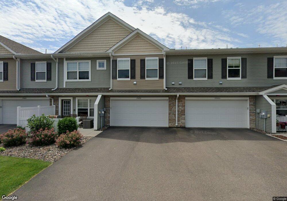
19490 Butternut Ct Maple Grove, MN 55311
Estimated Value: $316,694 - $334,000
3
Beds
3
Baths
1,775
Sq Ft
$182/Sq Ft
Est. Value
About This Home
This home is located at 19490 Butternut Ct, Maple Grove, MN 55311 and is currently estimated at $323,674, approximately $182 per square foot. 19490 Butternut Ct is a home located in Hennepin County with nearby schools including Hanover Elementary School, Buffalo Community Middle School, and Buffalo Senior High School.
Ownership History
Date
Name
Owned For
Owner Type
Purchase Details
Closed on
Mar 28, 2019
Sold by
U S Home Corporation
Bought by
Li Helai
Current Estimated Value
Home Financials for this Owner
Home Financials are based on the most recent Mortgage that was taken out on this home.
Original Mortgage
$162,000
Outstanding Balance
$105,164
Interest Rate
4.3%
Mortgage Type
New Conventional
Estimated Equity
$218,511
Purchase Details
Closed on
Mar 12, 2019
Sold by
Us Home Corporation
Bought by
Li Helai
Home Financials for this Owner
Home Financials are based on the most recent Mortgage that was taken out on this home.
Original Mortgage
$162,000
Outstanding Balance
$105,164
Interest Rate
4.3%
Mortgage Type
New Conventional
Estimated Equity
$218,511
Create a Home Valuation Report for This Property
The Home Valuation Report is an in-depth analysis detailing your home's value as well as a comparison with similar homes in the area
Home Values in the Area
Average Home Value in this Area
Purchase History
| Date | Buyer | Sale Price | Title Company |
|---|---|---|---|
| Li Helai | $270,000 | Calatlantic Title Inc | |
| Li Helai | $270,000 | Calatlantic Title |
Source: Public Records
Mortgage History
| Date | Status | Borrower | Loan Amount |
|---|---|---|---|
| Open | Li Helai | $162,000 | |
| Closed | Li Helai | $162,000 |
Source: Public Records
Tax History
| Year | Tax Paid | Tax Assessment Tax Assessment Total Assessment is a certain percentage of the fair market value that is determined by local assessors to be the total taxable value of land and additions on the property. | Land | Improvement |
|---|---|---|---|---|
| 2024 | $3,714 | $323,000 | $20,000 | $303,000 |
| 2023 | $3,774 | $336,500 | $33,000 | $303,500 |
| 2022 | $3,314 | $301,000 | $10,000 | $291,000 |
| 2021 | $3,436 | $261,000 | $10,000 | $251,000 |
| 2020 | $1,204 | $267,000 | $10,000 | $257,000 |
| 2019 | $104 | $87,600 | $10,000 | $77,600 |
| 2018 | -- | $6,500 | $6,500 | $0 |
Source: Public Records
Map
Nearby Homes
- 19549 Meadow Trail
- 19351 Meadow View Ln
- 19280 Blue Stem Ct
- XXX Brockton Ln N
- 21310 Poate Ct
- 12800 Weber Ct
- 22911 Hazel Ln
- 21412 Poate Ct
- 19650 105th Ave
- 19638 105th Ave
- 19614 105th Ave
- 19590 105th Ave
- 19578 105th Ave
- 19566 105th Ave
- 19554 105th Ave
- 19506 105th Ave
- 12565 Marion Ct
- 10419 Northwood Ln
- 19503 105th Ave
- 19626 104th Place
- 19485 Tamarack Point
- 19517 Tamarack Point N
- 19486 Butternut Ct
- 19503 Tamarack Point
- 19485 Tamarack Point N
- 19510 Butternut Ct
- 19505 Tamarack Point
- 19516 Butternut Ct
- 19468 Tamarack Point
- 19482 Tamarack Point
- 19454 Tamarack Point
- 11578 Laurel Springs Path
- 19518 Tamarack Point
- 19524 Tamarack Point
- 11576 Laurel Springs Path
- 11572 Laurel Springs Path
- 19508 Tamarack Point
- 19558 115th Ave N
- 19532 Tamarack Point
- 19568 115th Ave N
Your Personal Tour Guide
Ask me questions while you tour the home.