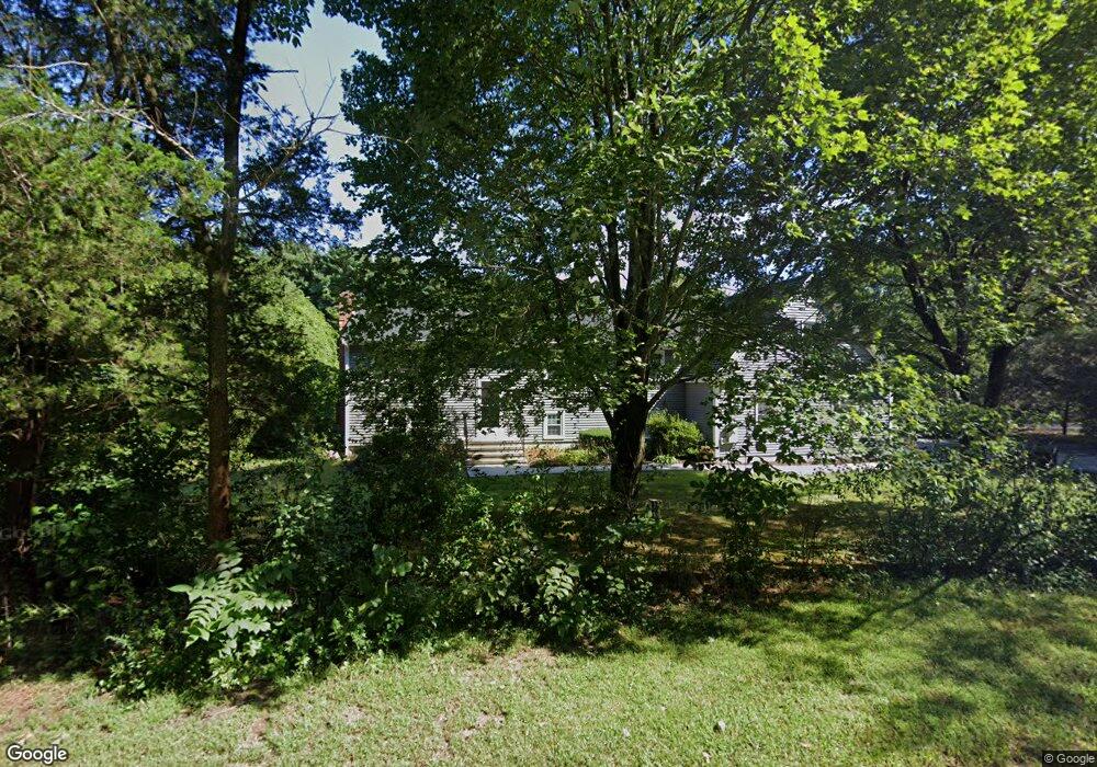
195 Beach St Wrentham, MA 02093
Estimated Value: $704,000 - $1,013,000
4
Beds
3
Baths
3,378
Sq Ft
$247/Sq Ft
Est. Value
About This Home
This home is located at 195 Beach St, Wrentham, MA 02093 and is currently estimated at $835,769, approximately $247 per square foot. 195 Beach St is a home located in Norfolk County with nearby schools including Delaney Elementary School, Charles E Roderick, and Cadence Academy Preschool - North Attleborough.
Ownership History
Date
Name
Owned For
Owner Type
Purchase Details
Closed on
Aug 25, 2017
Sold by
Bethoney Matthew T and Bethoney Nancy M
Bought by
Bethoney Nancy and Fricker David S
Current Estimated Value
Purchase Details
Closed on
Aug 10, 1992
Sold by
Bethoney Thomas M and Bethoney Rose M
Bought by
Bethoney Matthew T and Bethoney Nancy
Home Financials for this Owner
Home Financials are based on the most recent Mortgage that was taken out on this home.
Original Mortgage
$100,000
Interest Rate
8.4%
Mortgage Type
Purchase Money Mortgage
Create a Home Valuation Report for This Property
The Home Valuation Report is an in-depth analysis detailing your home's value as well as a comparison with similar homes in the area
Home Values in the Area
Average Home Value in this Area
Purchase History
| Date | Buyer | Sale Price | Title Company |
|---|---|---|---|
| Bethoney Nancy | -- | -- | |
| Bethoney Matthew T | $138,000 | -- |
Source: Public Records
Mortgage History
| Date | Status | Borrower | Loan Amount |
|---|---|---|---|
| Previous Owner | Bethoney Matthew T | $170,000 | |
| Previous Owner | Bethoney Matthew T | $100,000 |
Source: Public Records
Tax History Compared to Growth
Tax History
| Year | Tax Paid | Tax Assessment Tax Assessment Total Assessment is a certain percentage of the fair market value that is determined by local assessors to be the total taxable value of land and additions on the property. | Land | Improvement |
|---|---|---|---|---|
| 2025 | $7,926 | $683,900 | $263,300 | $420,600 |
| 2024 | $7,417 | $618,100 | $263,300 | $354,800 |
| 2023 | $7,299 | $578,400 | $239,300 | $339,100 |
| 2022 | $7,205 | $527,100 | $232,700 | $294,400 |
| 2021 | $4,660 | $331,200 | $217,500 | $113,700 |
| 2020 | $4,750 | $333,300 | $166,100 | $167,200 |
| 2019 | $4,792 | $339,400 | $182,700 | $156,700 |
| 2018 | $4,723 | $331,700 | $182,800 | $148,900 |
| 2017 | $4,456 | $312,700 | $179,300 | $133,400 |
| 2016 | $4,378 | $306,600 | $174,100 | $132,500 |
| 2015 | $4,253 | $283,900 | $167,400 | $116,500 |
| 2014 | $4,183 | $273,200 | $161,000 | $112,200 |
Source: Public Records
Map
Nearby Homes
- 791 South St Unit 5
- 319 Taunton St
- Lot 1 - Blueberry 2 Car Plan at King Philip Estates
- Lot 8 - Blueberry 2 Car Plan at King Philip Estates
- Lot 5 - Hughes 2 car Plan at King Philip Estates
- Lot 6 - Blueberry 3 Car Plan at King Philip Estates
- Lot 2 - Camden 2 Car Plan at King Philip Estates
- Lot 7 - Cedar Plan at King Philip Estates
- Lot 4 - Hemingway 2 Car Plan at King Philip Estates
- Lot 3 - Blueberry 2 Car Plan at King Philip Estates
- 11 Earle Stewart Ln
- Lot 3 - 14 Earle Stewart Ln
- 131 Creek St Unit 7
- 10 Nature View Dr
- 15 Nature View Dr
- 155 Clark Rd Unit 155
- 1204 South St
- 1222 South St
- 120 Hawes St
- 362 East St