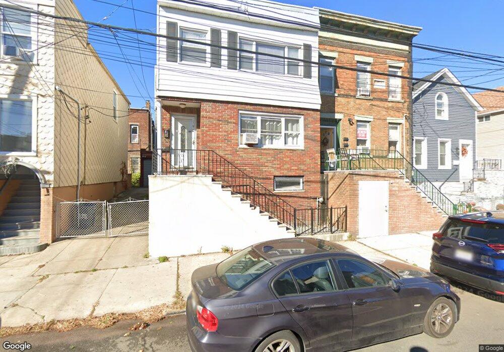
195 Cambridge Ave Unit 2 Jersey City, NJ 07307
The Heights NeighborhoodEstimated Value: $721,522 - $963,000
1
Bed
1
Bath
1,661
Sq Ft
$503/Sq Ft
Est. Value
About This Home
This home is located at 195 Cambridge Ave Unit 2, Jersey City, NJ 07307 and is currently estimated at $835,381, approximately $502 per square foot. 195 Cambridge Ave Unit 2 is a home located in Hudson County with nearby schools including Christa McAuliffe School, William L. Dickinson High School, and Dr Ronald McNair High School.
Ownership History
Date
Name
Owned For
Owner Type
Purchase Details
Closed on
Nov 10, 2005
Sold by
Hemmings Melvin P
Bought by
Anekwo Ifaoma A
Current Estimated Value
Purchase Details
Closed on
Sep 6, 2003
Sold by
Mohamed Raymond and Mohamed Roma
Bought by
Anekwe Ifeoma
Purchase Details
Closed on
Sep 4, 1996
Sold by
Mohan Bidyawattee
Bought by
Mohamed Raymond and Mohamed Roma
Purchase Details
Closed on
Feb 3, 1995
Sold by
Oci Mtg Corp
Bought by
Mohamed Raymond and Mohamed Roma
Create a Home Valuation Report for This Property
The Home Valuation Report is an in-depth analysis detailing your home's value as well as a comparison with similar homes in the area
Home Values in the Area
Average Home Value in this Area
Purchase History
| Date | Buyer | Sale Price | Title Company |
|---|---|---|---|
| Anekwo Ifaoma A | -- | Commonwealth Land Title Insu | |
| Anekwe Ifeoma | $268,500 | Commonwealth Land Title Insu | |
| Mohamed Raymond | -- | -- | |
| Mohamed Raymond | $86,000 | -- |
Source: Public Records
Tax History Compared to Growth
Tax History
| Year | Tax Paid | Tax Assessment Tax Assessment Total Assessment is a certain percentage of the fair market value that is determined by local assessors to be the total taxable value of land and additions on the property. | Land | Improvement |
|---|---|---|---|---|
| 2025 | $10,345 | $463,300 | $219,600 | $243,700 |
| 2024 | $10,410 | $463,300 | $219,600 | $243,700 |
| 2023 | $10,410 | $463,300 | $219,600 | $243,700 |
| 2022 | $9,813 | $463,300 | $219,600 | $243,700 |
| 2021 | $7,431 | $463,300 | $219,600 | $243,700 |
| 2020 | $7,459 | $463,300 | $219,600 | $243,700 |
| 2019 | $7,135 | $463,300 | $219,600 | $243,700 |
| 2018 | $1,414 | $463,300 | $219,600 | $243,700 |
| 2017 | $7,410 | $95,000 | $20,200 | $74,800 |
| 2016 | $7,316 | $95,000 | $20,200 | $74,800 |
| 2015 | $7,108 | $95,000 | $20,200 | $74,800 |
| 2014 | $7,062 | $95,000 | $20,200 | $74,800 |
Source: Public Records
Map
Nearby Homes
- 192 Cambridge Ave Unit 2
- 192 Cambridge Ave Unit 3
- 433 Central Ave Unit 2B
- 433 Central Ave Unit 3B
- 433 Central Ave Unit PH5
- 433 Central Ave Unit PH4
- 464 Central Ave Unit A5
- 68 Thorne St Unit 1
- 68 Thorne St Unit 2
- 241 Cambridge Ave
- 244 Sherman Ave Unit A
- 391 Central Ave Unit 1
- 391 Central Ave Unit 6
- 295 Webster Ave
- 214 Sherman Ave Unit 1
- 44 Bleecker St Unit 2
- 27 Thorne St Unit 4
- 27 Graham St
- 502 Central Ave Unit D1
- 28 Graham St
- 195 Cambridge Ave
- 195 Cambridge Ave Unit 1
- 197 Cambridge Ave
- 197 Cambridge Ave Unit 2
- 193 Cambridge Ave Unit 1
- 199 Cambridge Ave
- 193 Cambridge Ave
- 193 Cambridge Ave Unit 1
- 193 Cambridge Ave Unit 2
- 201 Cambridge Ave
- 203 Cambridge Ave
- 440 Central Ave
- 438 Central Ave
- 189 Cambridge Ave
- 189 Cambridge Ave Unit 1 family
- 436 Central Ave
- 205 Cambridge Ave
- 194 Cambridge Ave
- 194 Cambridge Ave
- 194 Cambridge Ave Unit 1